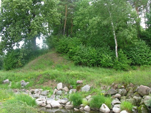

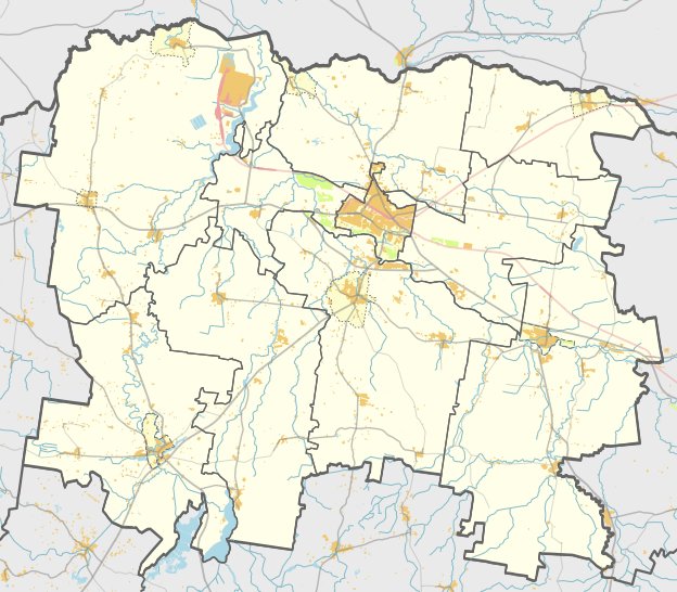
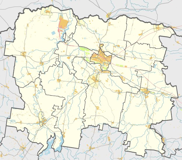
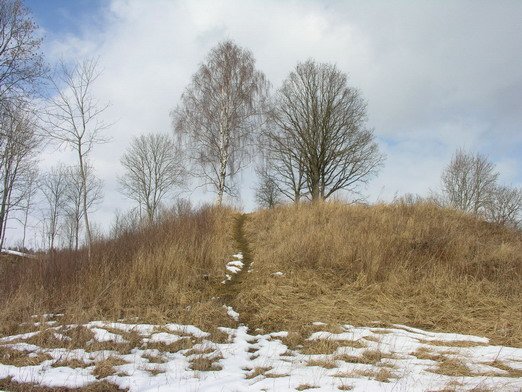
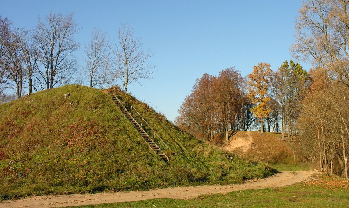
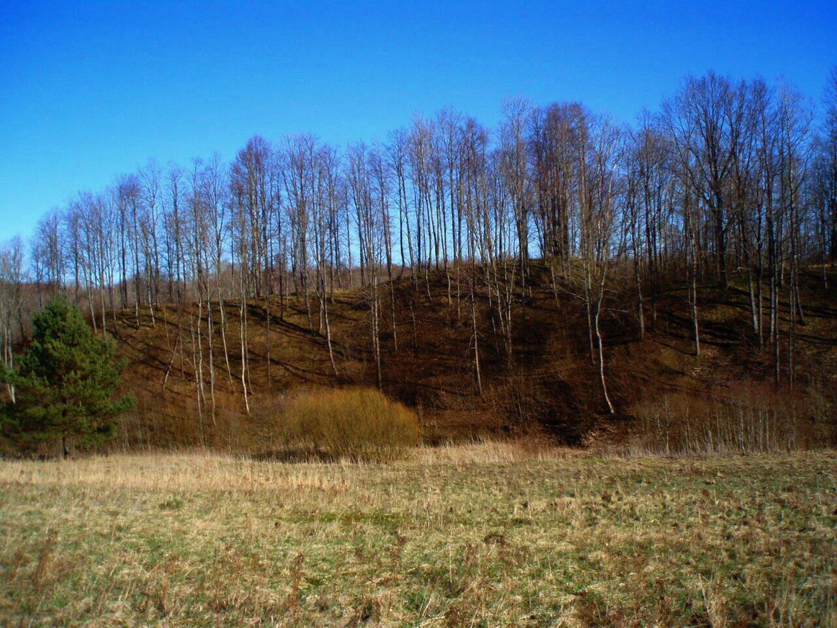
Griežės II piliakalnis is a hillfort and settlement located in the Mažeikių district, near the village of Griežės. The site is situated on a long ridge 1 km south of the first Griežės hillfort. It can be reached by traveling 900 m south from the first hillfort, then 150 m to the left in an easterly direction across the fields.
The site consists of a trapezoidal main enclosure measuring 24 m long and 15 m wide at its southwest end. It features an embankment 1.6 m high at the southwest edge, with an outer slope of 3.5 m leading down to a 20 m long and 7 m wide ditch. Behind this ditch lies a counter-fort, or priešpilis. The priešpilis has a trapezoidal enclosure of 27x25 m, protected by an 18 m long, 2 m high embankment and a 4 m wide, 0.5 m deep ditch.
The slopes of the hillfort and counter-fort reach heights of 17 to 20 m. Archaeological evidence dates the site from the 1st millennium to the 13th century. To the west of the hillfort, there is a settlement covering 1.5 hectares. The site was explored by archaeological teams in 1966 and 1971.
Sources: Wikipedia, OpenStreetMap, Wikidata, Wikimedia Commons
Written by Nicolo Ciampini
Discuss this with the author and others
No comments yet. Be the first to start the conversation.