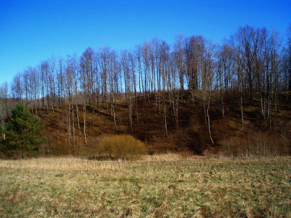

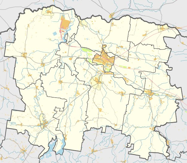
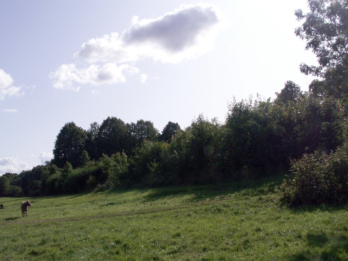
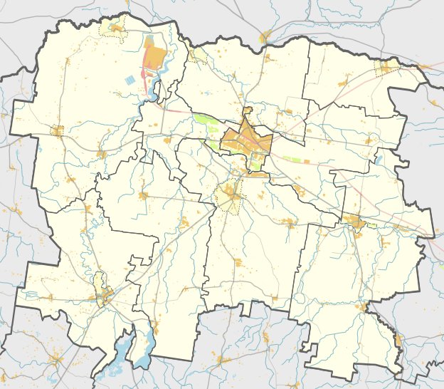
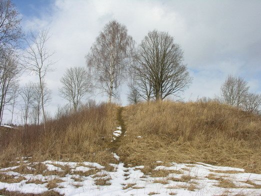
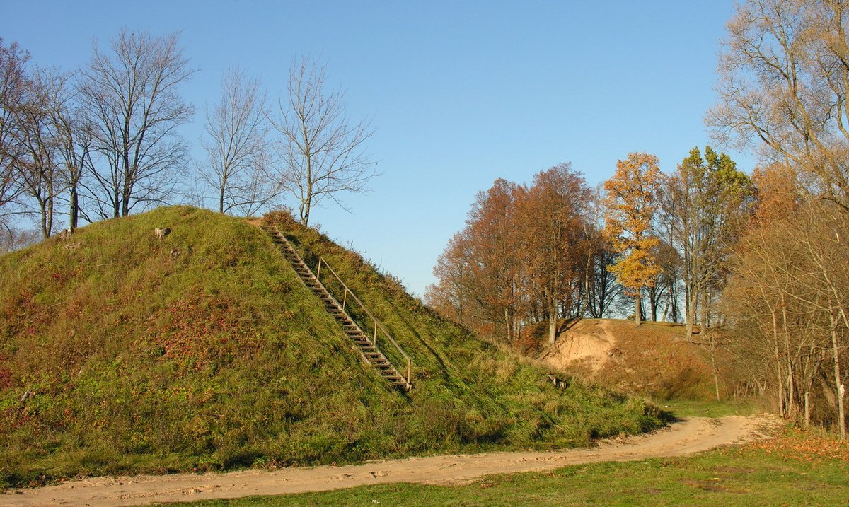
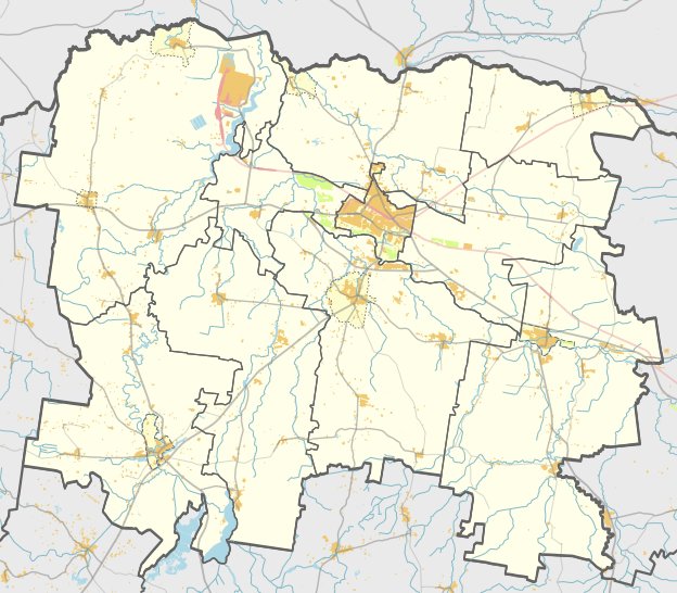
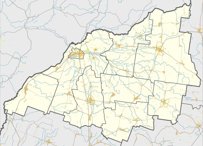
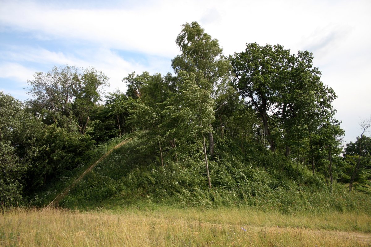
Vadagių piliakalnis is a hill fort located in the Mažeikių district, near the village of Vadagės. It sits on the left bank of the Varduva river at the Ragupis stream. The site features a triangular enclosure that is 35 metres long and 25 metres wide at its southern edge.
The fortification includes a rampart 30 metres long, 29 metres wide, and 2 metres high. An outer slope 4 metres high leads into a trench that is 45 metres long, 6 metres wide, and 1 metre deep. Behind this trench is another rampart, 0.3 metres high and 5 metres wide. The slopes of the fort reach a height of 14 metres. The rampart and enclosure are overgrown with ground cover, while the western edge of the enclosure is being washed away.
To the south of the hill fort is a settlement covering a 3-hectare plot. The site was first recorded in an 1899 archaeological map of the Kaunas Governorate by M. F. Pokrovsky. Archaeological surveys were conducted in 1903 by Liudvikas Kšivickis and in 1966 by the Institute of Lithuanian History. The hill fort is dated from the 1st to the 13th centuries.
Sources: Wikipedia, OpenStreetMap, Wikidata, Wikimedia Commons

Written by Nicolo Ciampini
Discuss this with the author and others
No comments yet. Be the first to start the conversation.