The lower Connecticut River was not bridged until the early 20th century. Settled in the mid-17th century, ferry services on the river were important for the movement of people and goods, and also acted as hubs for commerce. Records show the first formal permit to operate a ferry between Hadlyme and Chester was issued in 1769 to Jonathan Warner, but some documents suggest that a ferry may have been run as early as the 1690s.
The district extends from the ferry slip, up Connecticut Route 148 to its junction with Geer Hill Road. The terrain slopes upward from the river fairly steeply, leaving little room for development. The district is bounded on the north by Gillette Castle State Park.
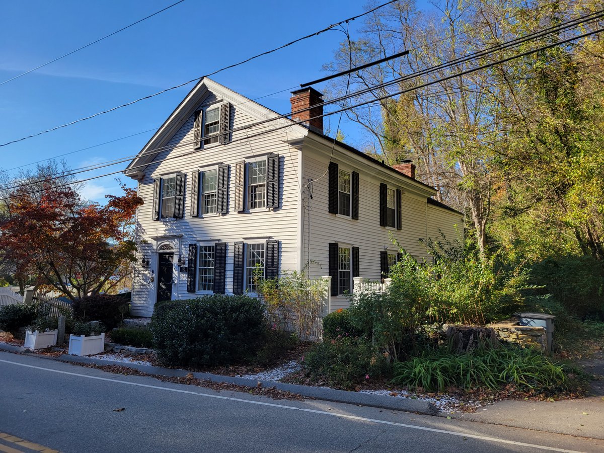
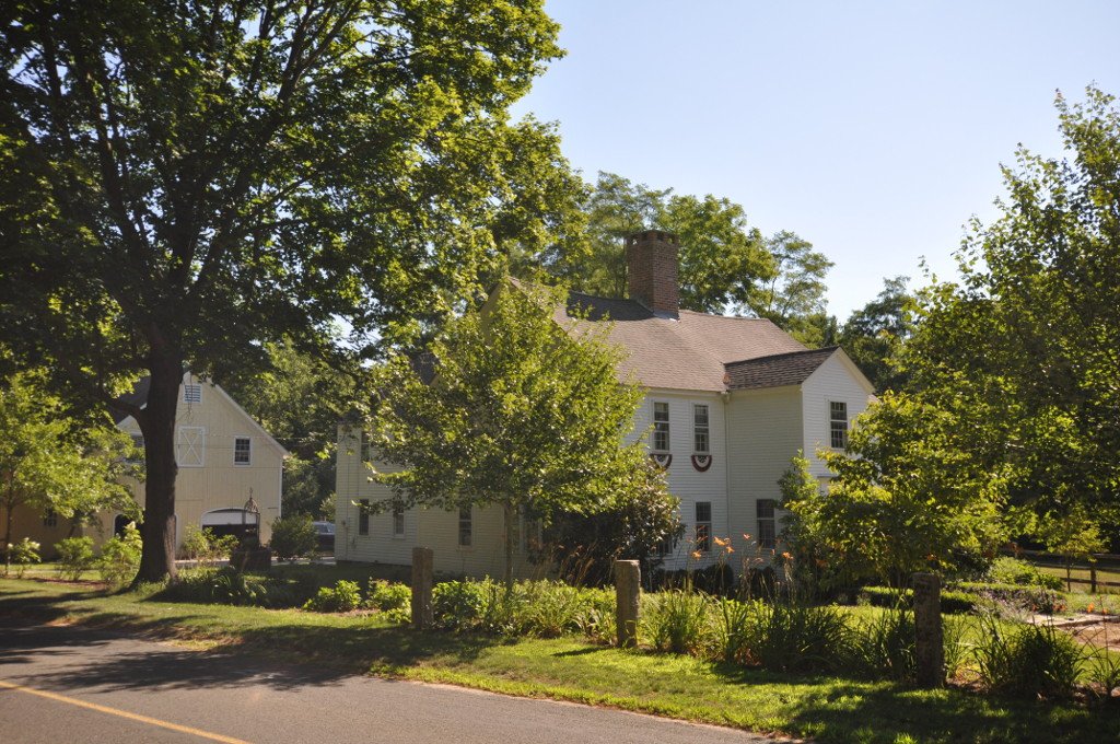
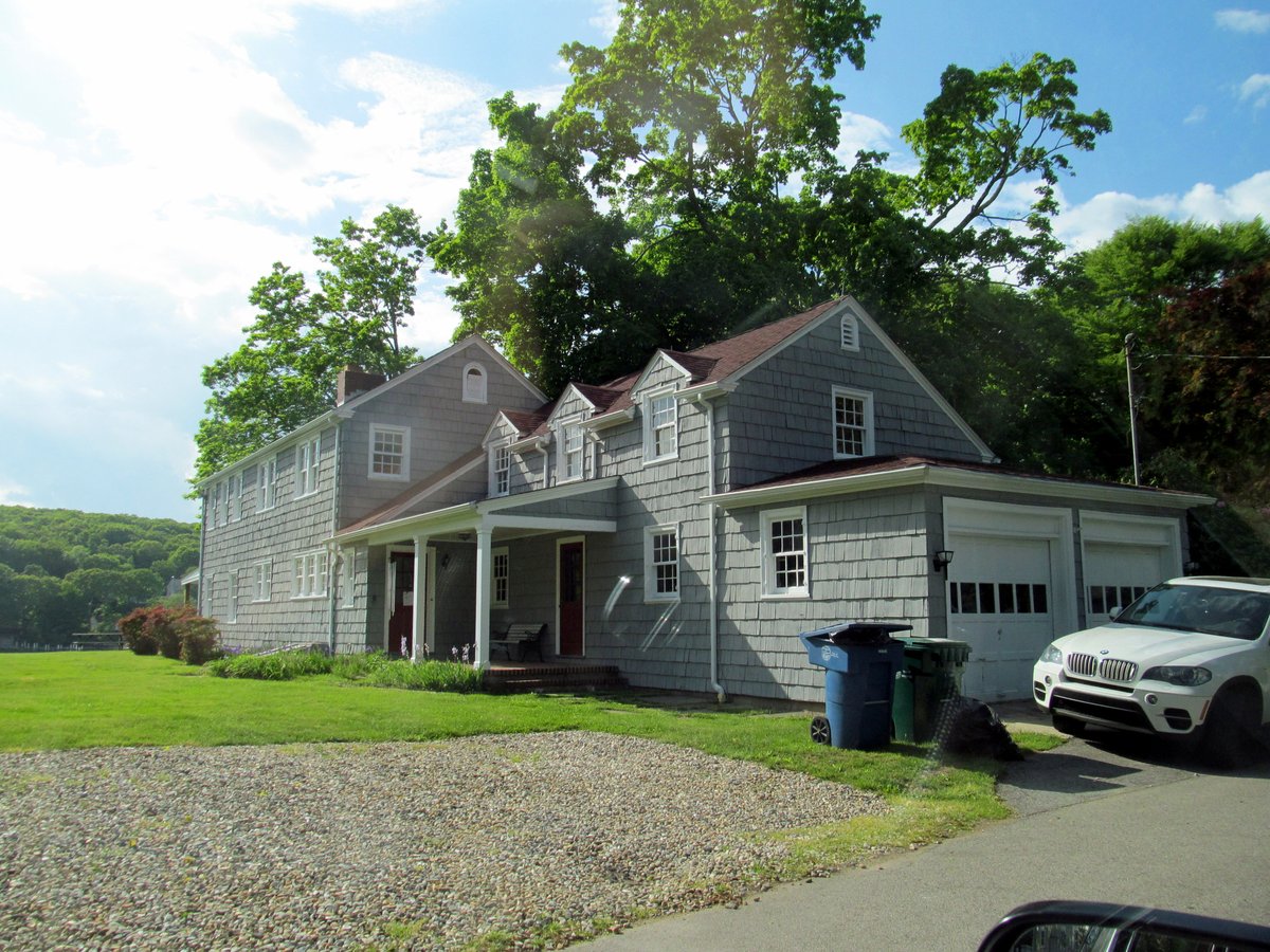
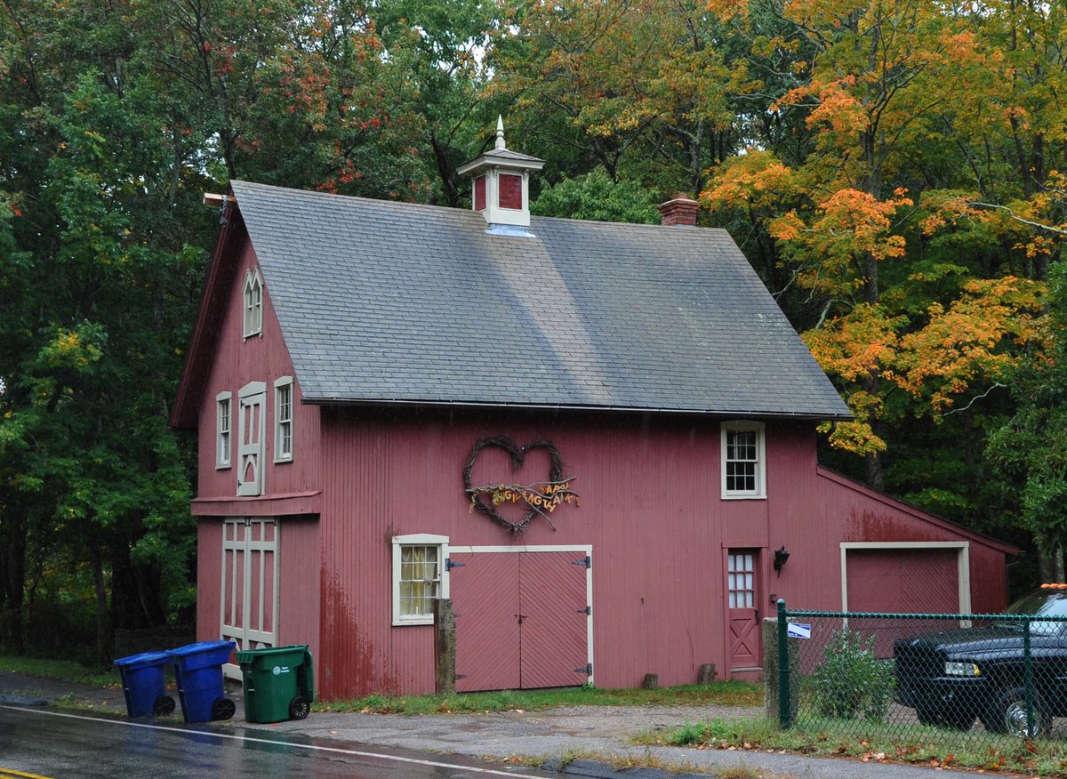
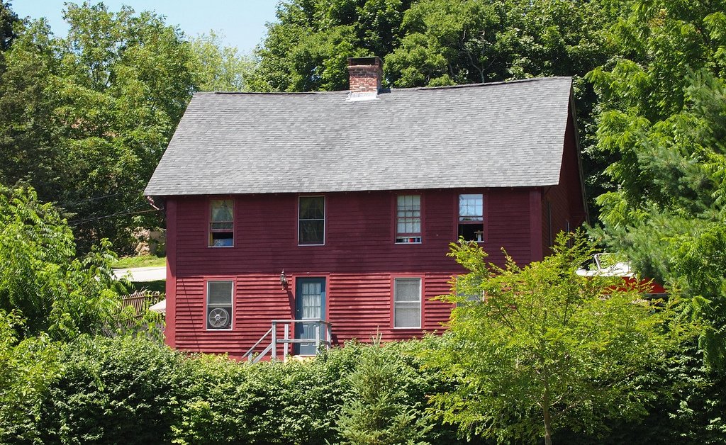
Six houses in the district were all built before 1820 and have either Federal or colonial Georgian style. One of the buildings may have served as a shop. One house dates to 1760 and is a typical Georgian house, to which a Federal style entrance surround was added in the late 18th or early 19th century.
The ferry slip is still part of the district. The modern ferry is regarded as a periodic intrusion into views of the historic district. The district was listed on the National Register of Historic Places in 1994.
Sources: Wikipedia, OpenStreetMap, Wikidata, Wikimedia Commons
Written by Leroy
Discuss this with the author and others
No comments yet. Be the first to start the conversation.