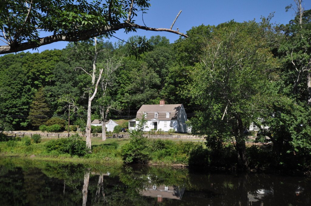

The Eight Mile River takes its name from its mouth, located 8 miles above the mouth of the Connecticut River, where it feeds into the water at Hamburg Cove. At a narrow point in the river where it becomes shallow, the water can no longer be passed by deep draft ships. A bridge has stood at this site since 1759, marking the head of navigation for the river. Below this point, a small waterfront community developed into an economically important village.
By 1800, houses, shops, and wharves lined both sides of the river below the bridge. This area remained economically successful until about 1824, when a deep-water channel was dredged to the village center of Hamburg further downriver. Following this development, the Hamburg Bridge area saw no significant new growth and waned economically. Today, the district covers 21 acres and contains 10 historically significant houses.
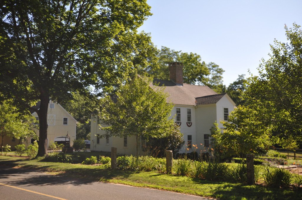
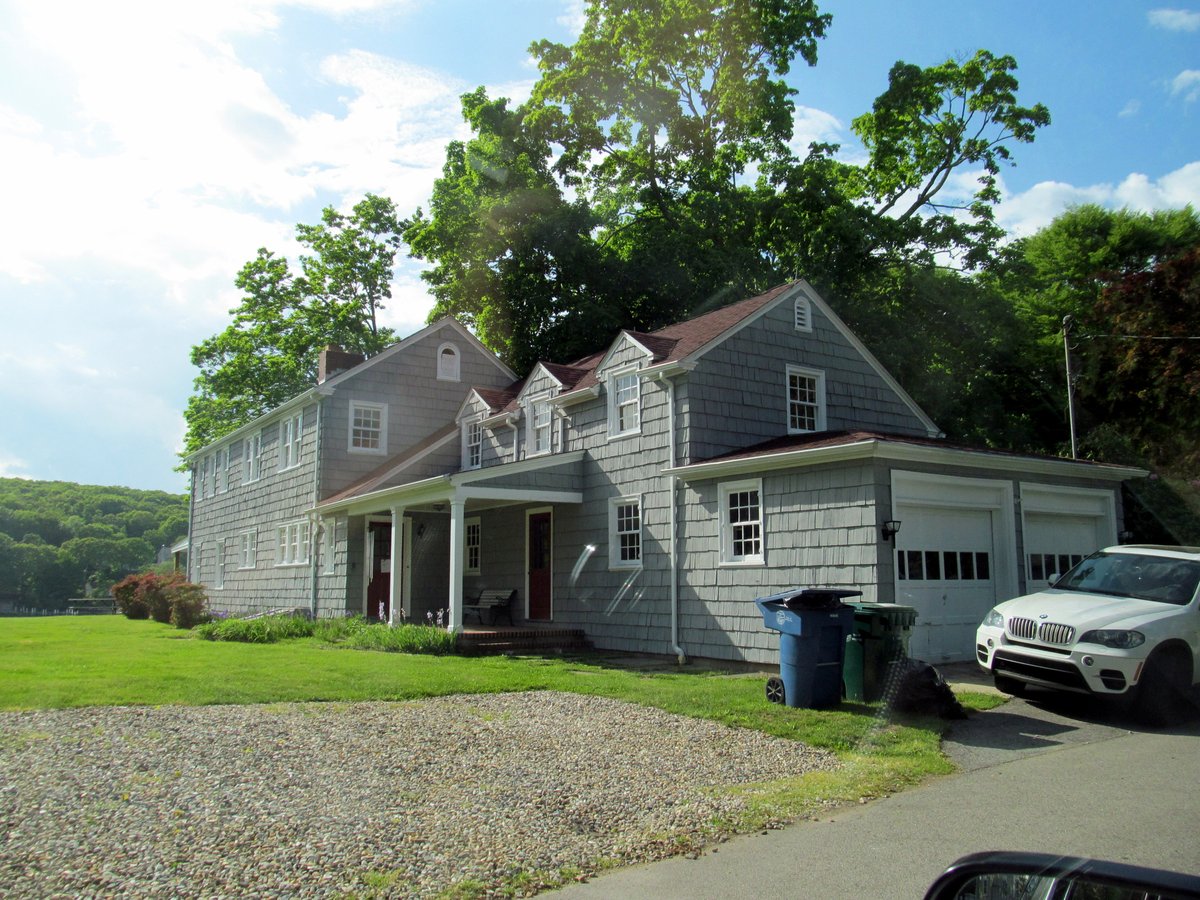
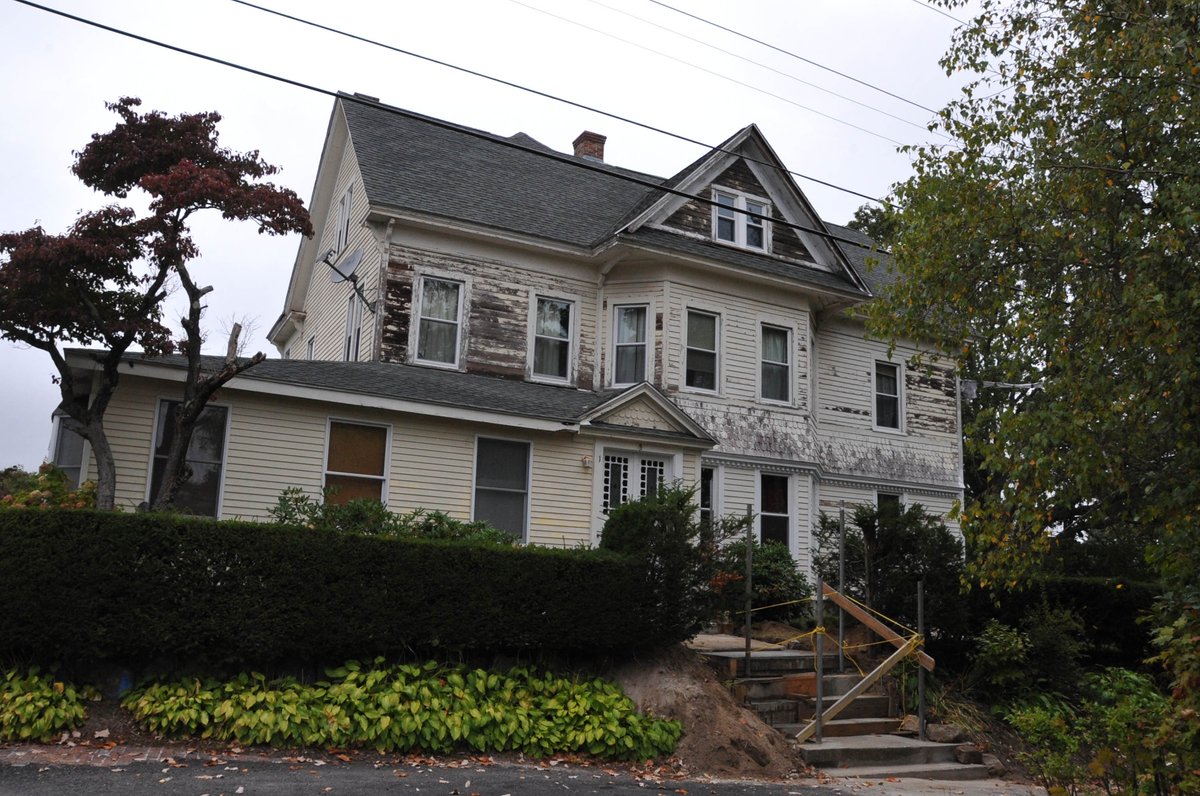
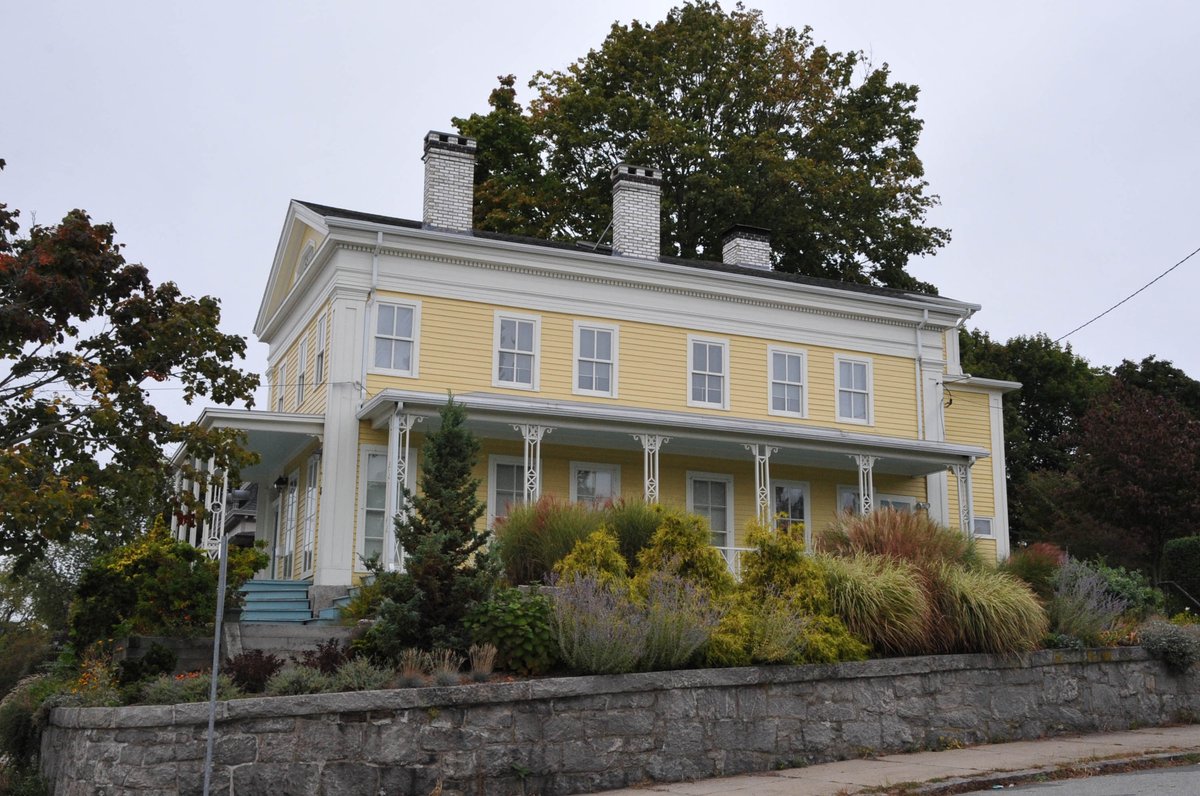
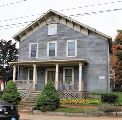
Nine of these wooden frame houses date to the 18th or early 19th century, while the tenth was built in 1879. The structures feature vernacular architecture with modest stylistic embellishments from various alterations. Many of the properties that include waterfront footage also feature a stone-lined landing area or a projecting wharf, reflecting the area's history as a hub of navigation.
Visitors can observe the current three-arch concrete bridge, built in 1936, which stands over the same site that has served the community for centuries. The district was officially added to the National Register of Historic Places on March 10, 1983, preserving the area's architectural and maritime heritage.
Sources: Wikipedia, OpenStreetMap, Wikidata, Wikimedia Commons

Written by Friendly Jane
Discuss this with the author and others
No comments yet. Be the first to start the conversation.