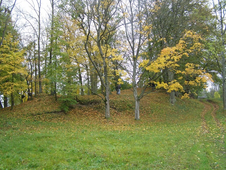

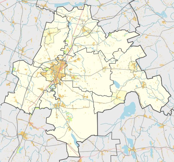
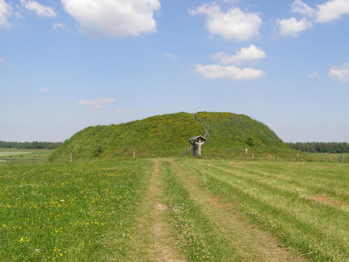
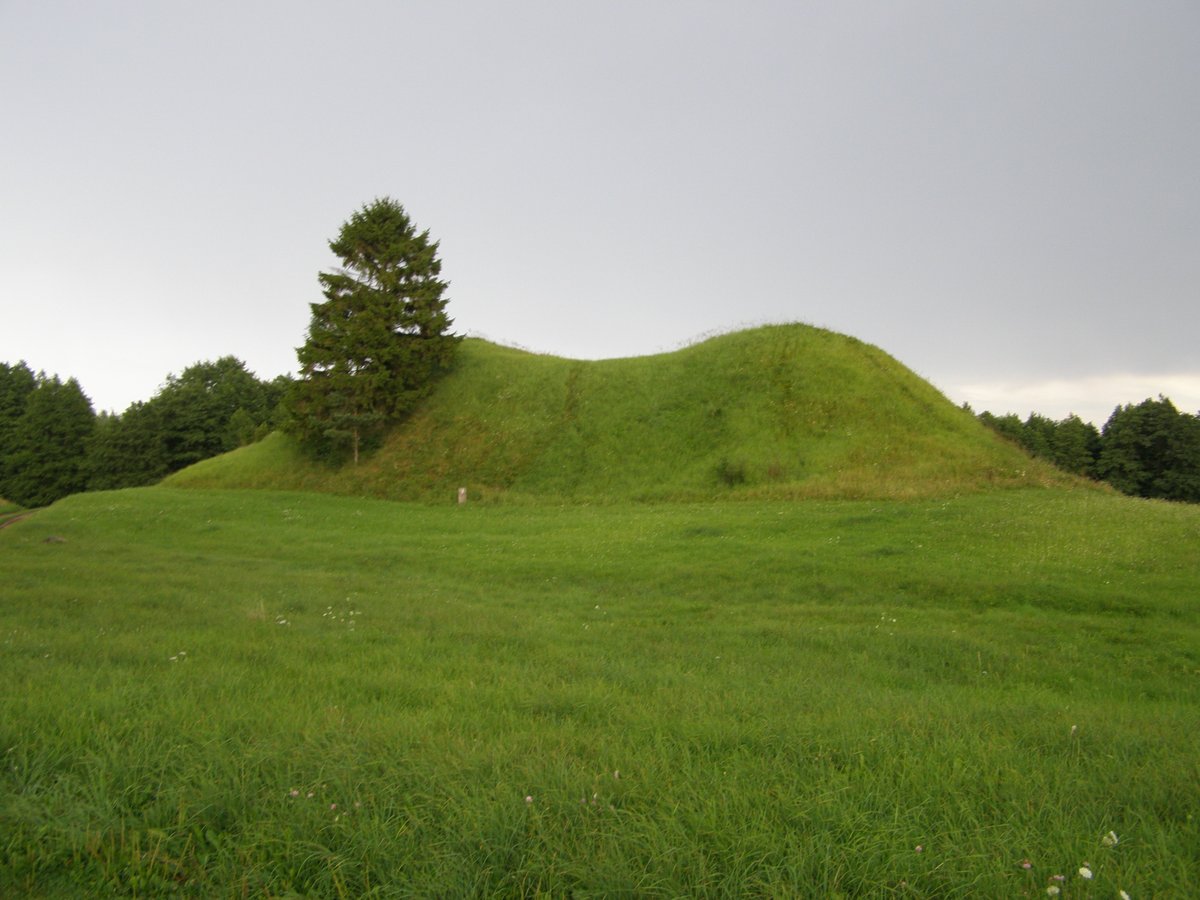
Piliakalnių piliakalnis is a hillfort located in the northwestern part of Marijampolė district, in Piliakalnių village, north of Šunskai. It is situated on a rugged peak overlooking the Rytupis valley. The structure measures 120 metres in length from east to west and has a maximum width of 90 metres. The slopes rise up to 4 metres high from the valley side, and the site is surrounded by linden trees.
The site features a triangular clearing 25 metres long and 27 metres wide on the northwestern edge. This area includes a rampart 30 metres long, 1.5–2 metres high, and up to 12 metres wide, followed by a trench 8 metres wide and 0.5 metres deep. Another rampart, 0.4 metres high and 3.5 metres wide, is situated on the northern edge. These features were partially modified by a stream diversion around 1964 and a quarry site.
To the south of the hillfort, a 0.3-hectare settlement site exists. In the northern part of the hillfort, two long floor pits are situated in a swamp; one measures 20 by 3 metres, and the other is 150 metres south of the first, measuring 40 by 0.6 metres. The site dates back to the first millennium and was officially recognized as a state-protected monument in 2005.
Archaeological research dating back to the mid-20th century identified cultural layers containing ash, lime, and fragments of burnt clay. The site was first identified as a cultural heritage object in 1935. It was later listed as an archaeological site of national significance in 1972 and eventually became a state-protected cultural monument.
Sources: Wikipedia, OpenStreetMap, Wikidata, Wikimedia Commons


Written by Nicolo Ciampini
Discuss this with the author and others
No comments yet. Be the first to start the conversation.