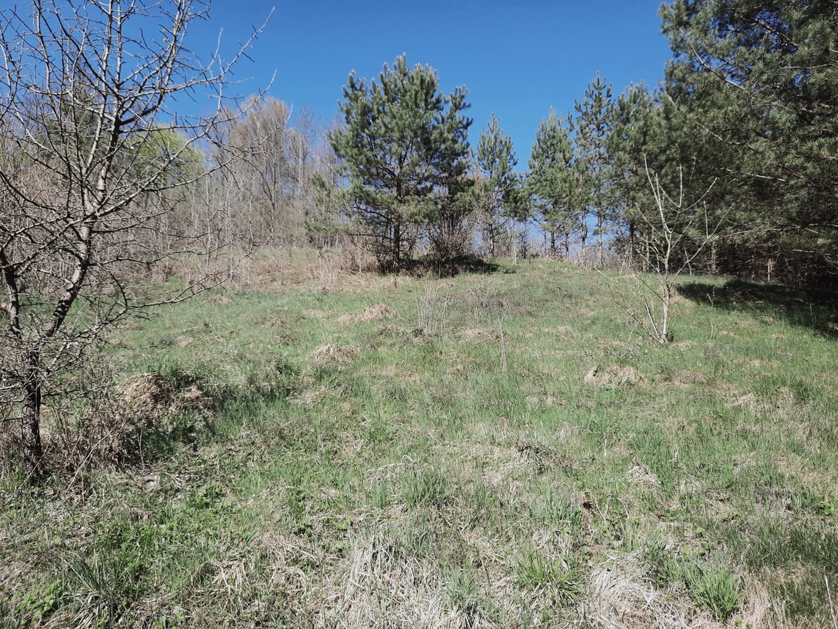

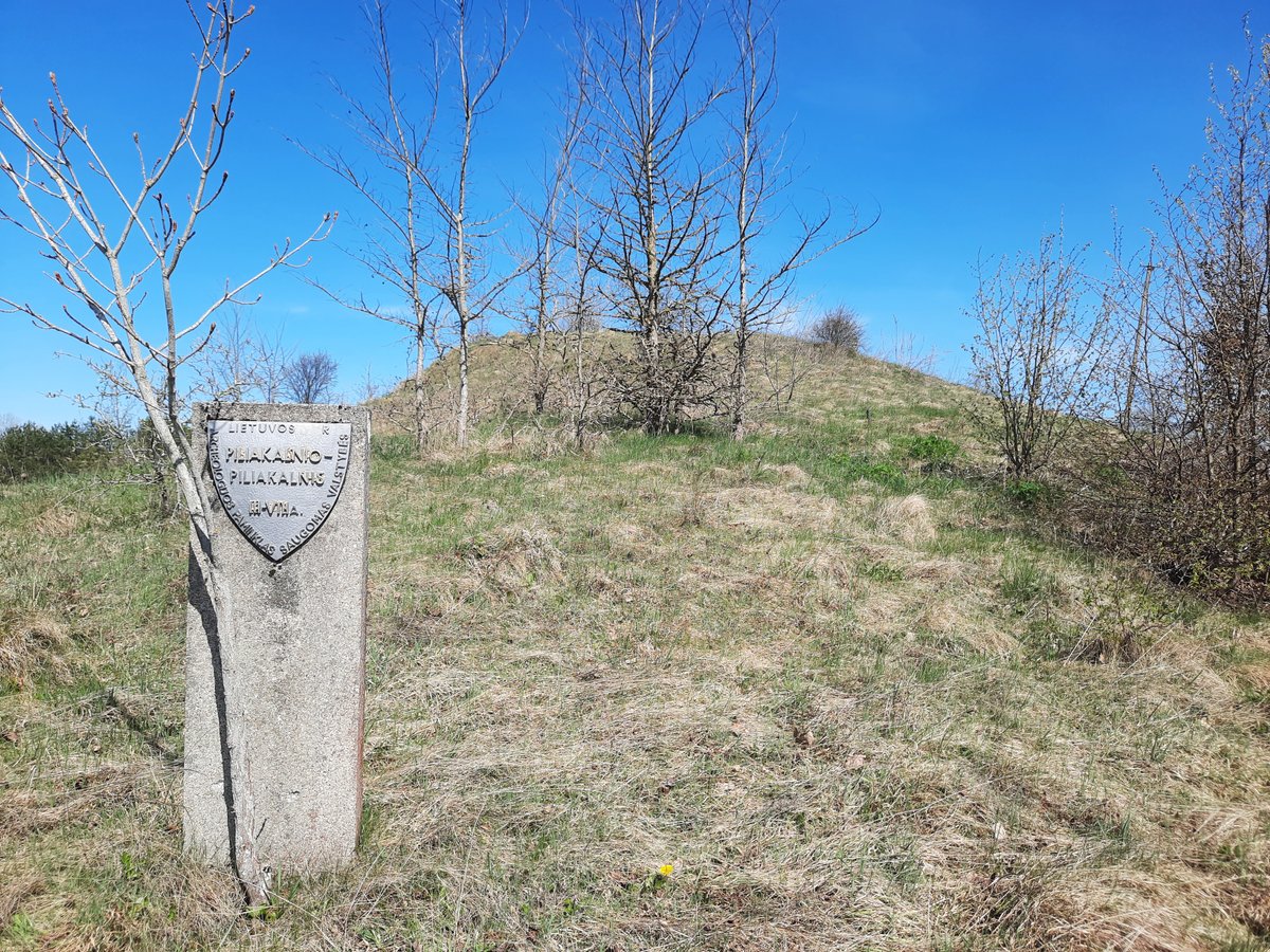
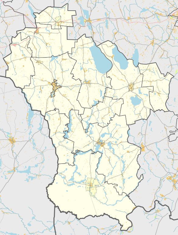
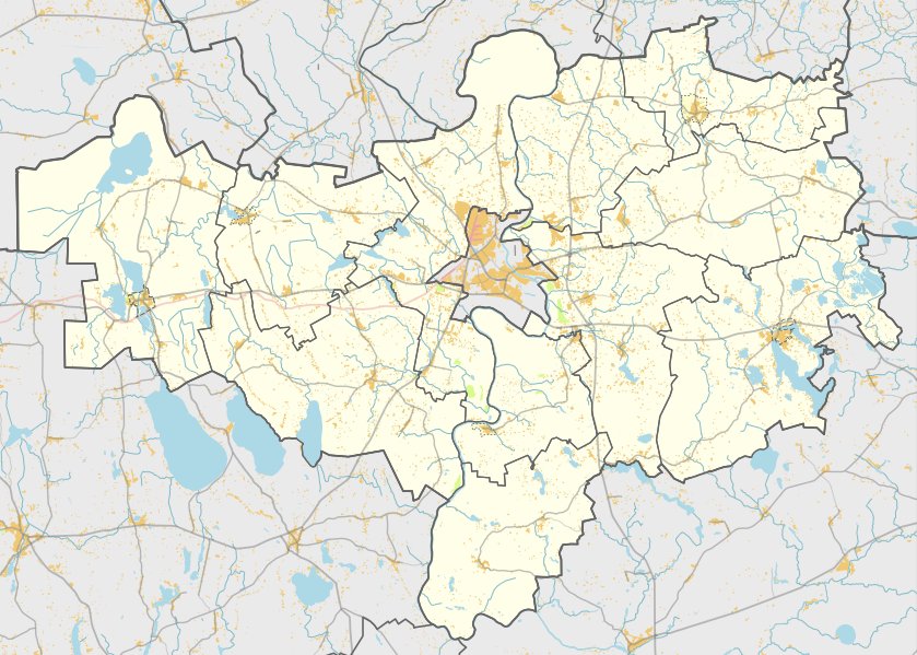
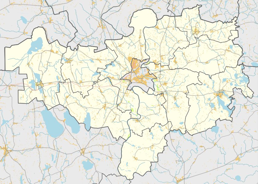
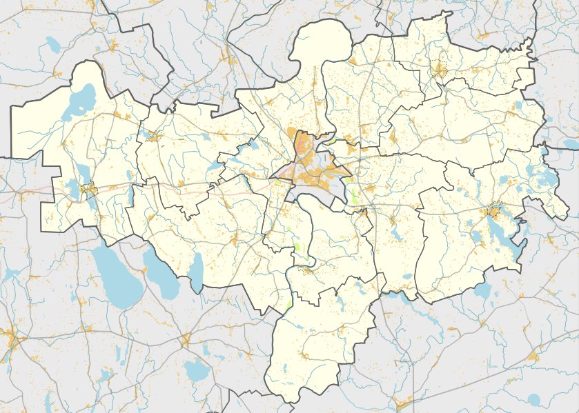
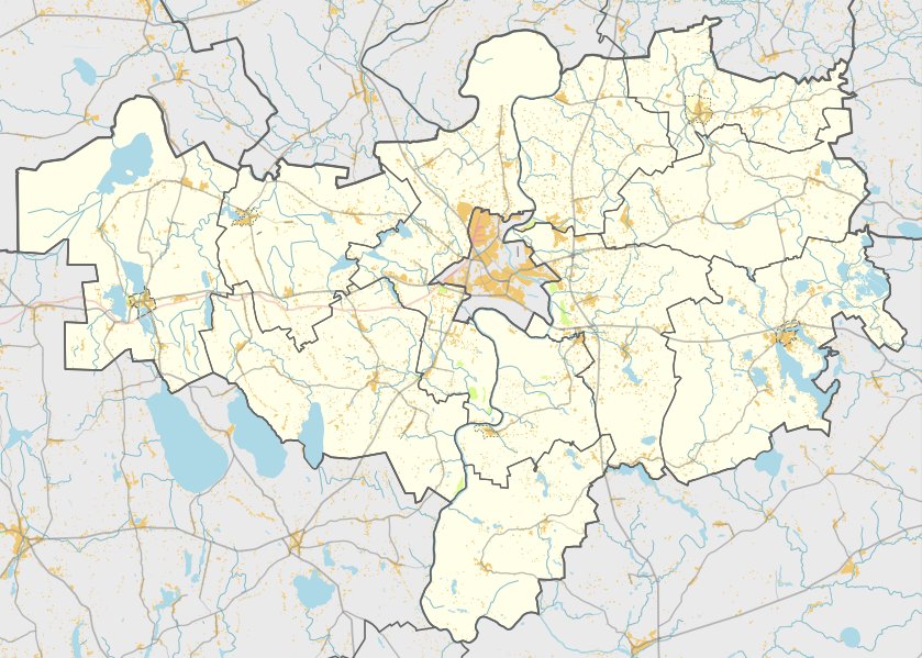
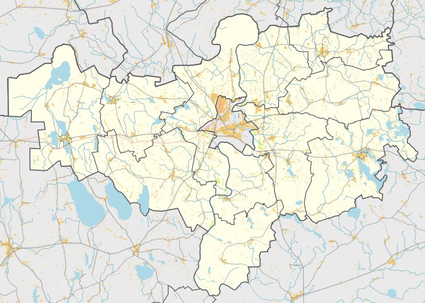
Nestled in the heart of Pieriškės, within the territory of Alytaus rajono savivaldybės, lies the hillfort of Krištapiškės. Located to the north of Ryliškių in the Raitininkų seniūnija, it is reached by traveling 900 meters northwest from the Makniūnai - Ryliškiai road, turning right past a cemetery and a canal connecting lakes and marshes.
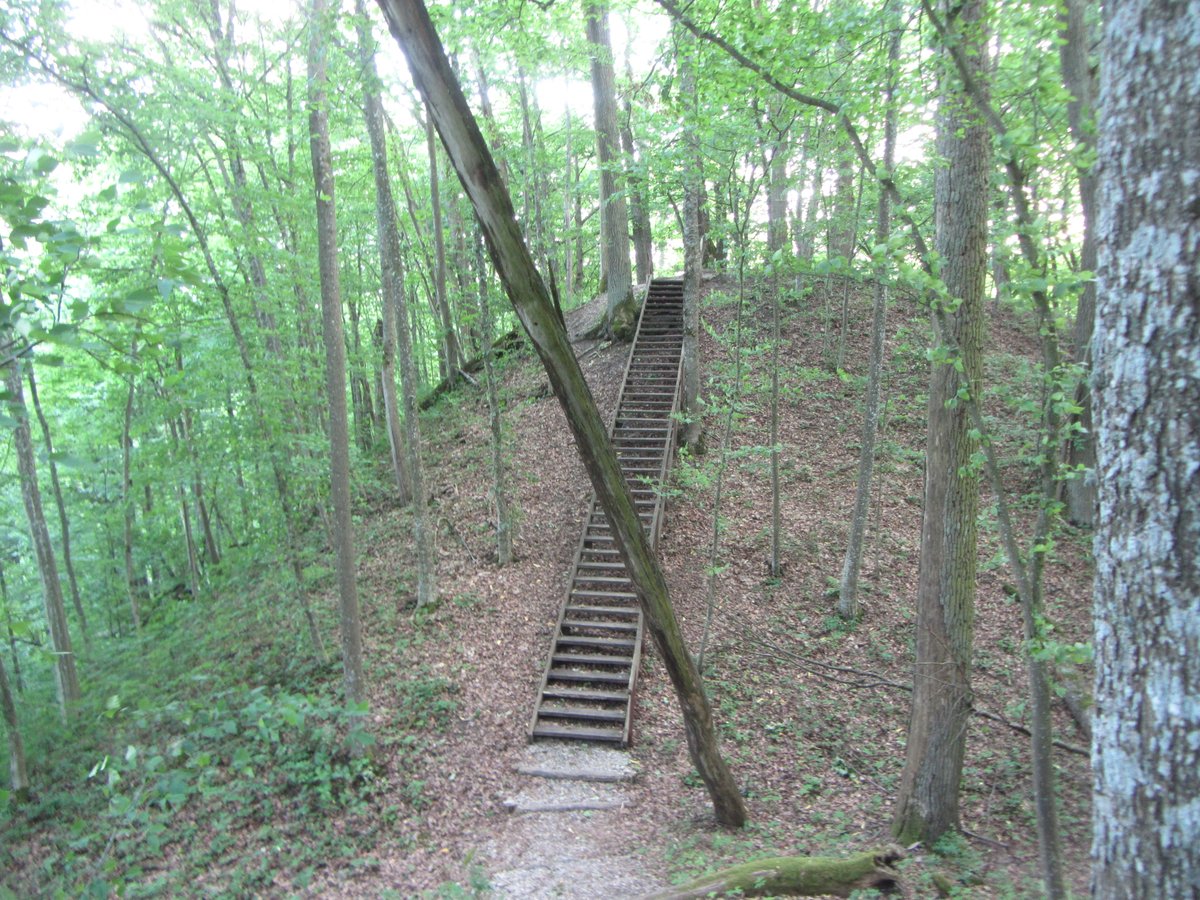
The hillfort is situated on a separate hill in the wetlands of the shores of Lake Rūželis. The site features an oval arena measuring 30x20 meters, with the northern edge 1.5 meters higher than the surrounding terrain. It has slopes of medium steepness reaching 6 - 8 meters in height. The area is difficult to distinguish because the hillfort was plowed for a long time; it is currently being ploughed, with the western and southern slopes covered in shrubs and bushes.
In 1955, the Institute of History surveyed the site, where it was dated to the first millennium. The site was entered into the register in 2010.
Sources: Wikipedia, OpenStreetMap, Wikidata, Wikimedia Commons
Written by Nicolo Ciampini
Discuss this with the author and others
No comments yet. Be the first to start the conversation.