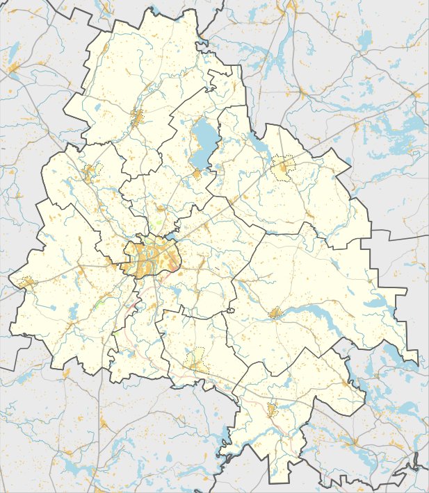

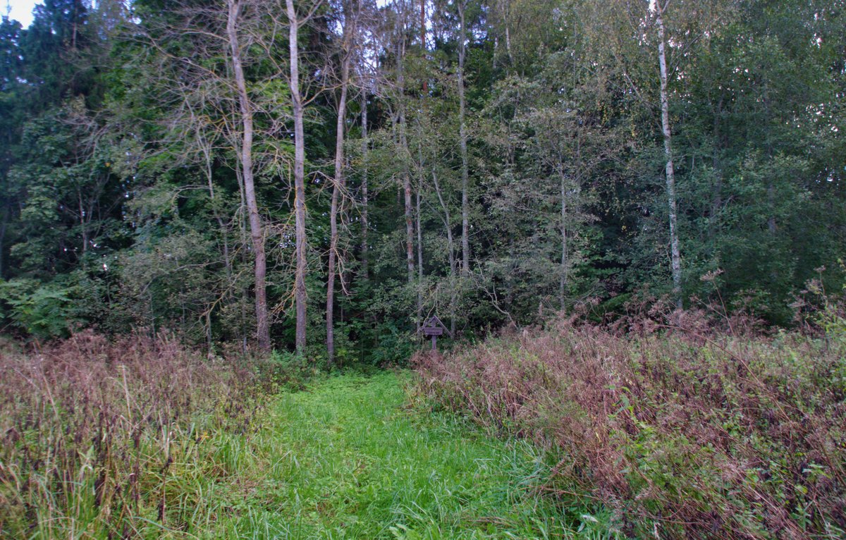
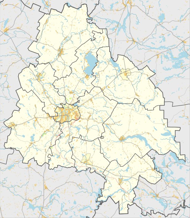
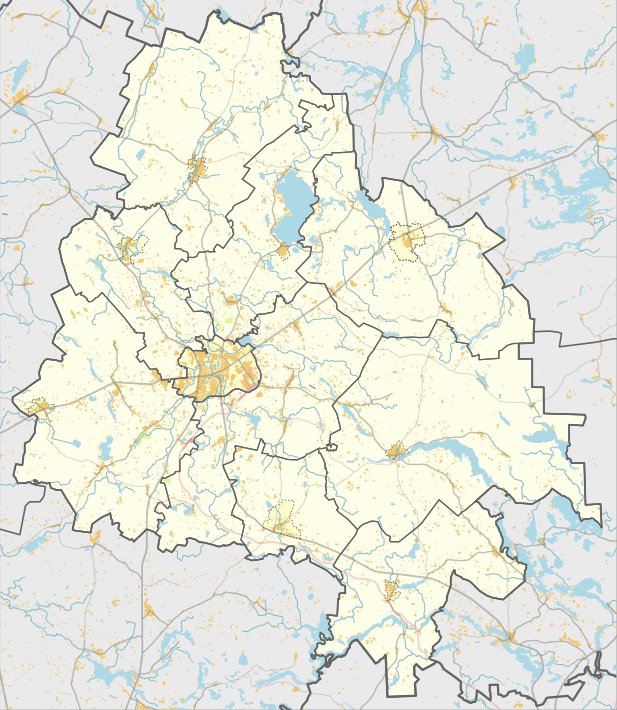
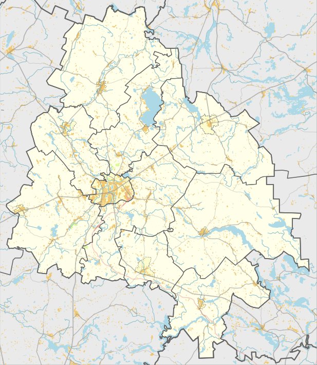
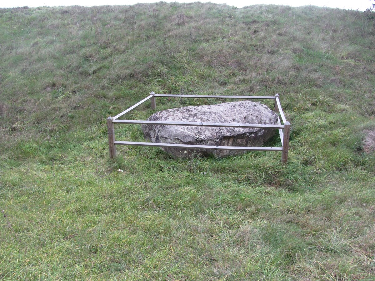
The archaeological site of Šiaudinių piliakalnis, also known as Pilalė, is located in the Vyžuonys eldership, south of Šiaudiniai. This site includes a hillfort and a settlement, both of which are recognized as cultural heritage monuments. The hillfort is situated in a coastal bend on the left bank of the Lankos river, featuring an oval area measuring 20 by 17 meters.
The area was once enclosed by a wall. Today, a 0.8-meter-high wall remains on the southern edge, measuring 22 meters wide on the right side. To the south of this wall, a ditch 12 meters wide was excavated. On the northern slope, a smaller ditch 5 meters wide and 0.3 meters deep is located, followed by a wall 0.4 meters high and 4.5 meters wide.
South of the hillfort lies a prehistoric mound, or priešpilis, which features a trapezoidal area. This area is 70 meters long and 30 meters wide on the northern side, stretching 70 meters wide at its southern end. A wall 1.5 meters high and 20 meters wide runs along the southern side of the mound, while a ditch 17 meters wide and 2 meters deep is located behind it. A small settlement of the Papėdės variety covers an area of 0.2 hectares to the south of the mound.
Sources: Wikipedia, OpenStreetMap, Wikidata, Wikimedia Commons

Written by Nicolo Ciampini
Discuss this with the author and others
No comments yet. Be the first to start the conversation.