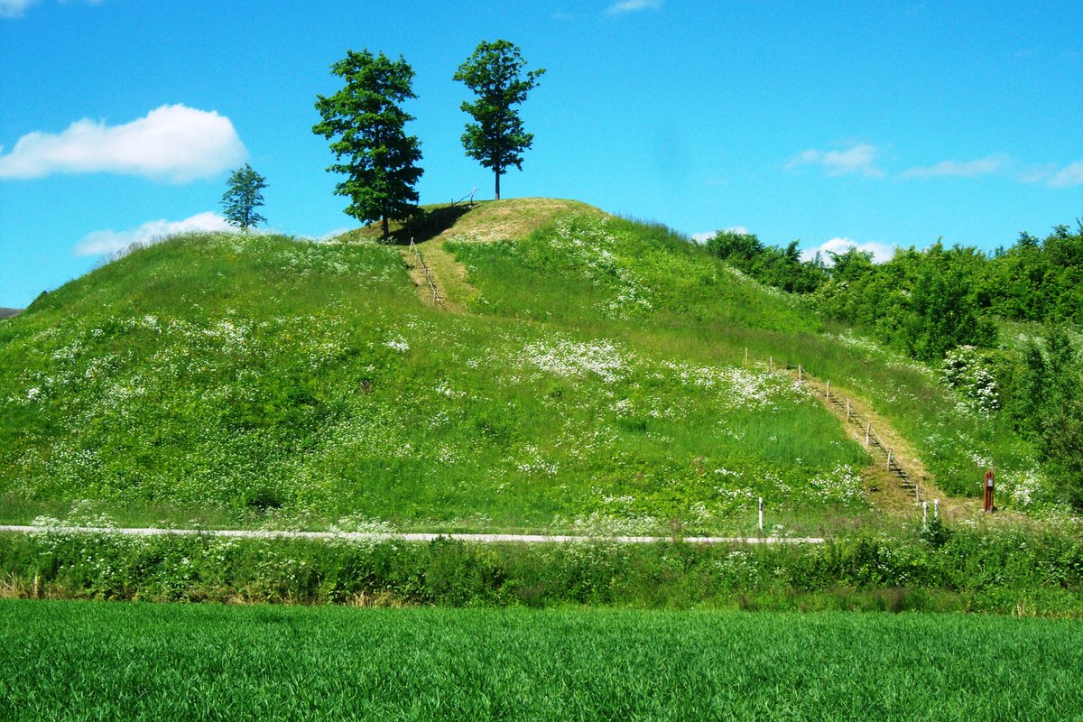

The Piepalių piliakalnis is a hillfort and settlement located on a high terrace of the Nevėžis river, oriented northwest to southeast. The main arena measures 17 metres long and 24 metres wide at the northwest end. Along the northwest edge of the arena is a rampart 3 metres high, with an outer slope of 5 metres leading down into a ditch that is 1.5 metres deep. The fill of the rampart contains a large amount of burnt fine clay, and the slopes are approximately 15 metres high.
Part of the southwest edge of the arena has collapsed into the river, and the southwest slope is eroding. In the southwest part of the arena, a trench has been dug, and in the southwest part of the rampart, there is a pit. Trees have been cut on the east slope of the hillfort and the inner side of the rampart, while the outer side remains covered with bushes.
The site dates from the first millennium to the beginning of the second millennium. It was officially recognized as a state-protected monument in 2005. The total area of the monument territory is 10,800 square metres. The Institute of History first scouted the site in 1961.
Sources: Wikipedia, OpenStreetMap, Wikidata, Wikimedia Commons
Written by Nicolo Ciampini
Discuss this with the author and others
No comments yet. Be the first to start the conversation.