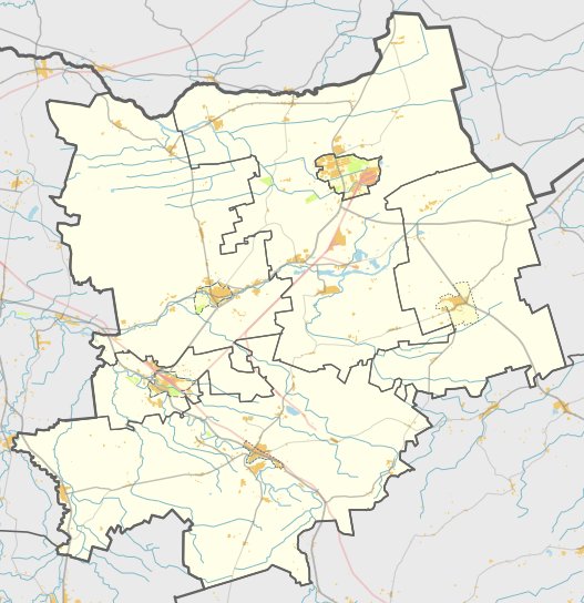

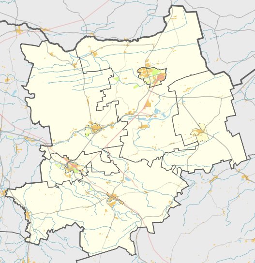
Located 1 kilometer east of the first hillfort on the left bank of the Ventis, the second hillfort of Papilė sits in a village of the same name. To reach it, turn left onto J. Basanavičiaus Street from the center of Papilė at the monument to S. Daukantas and drive for 150 meters.
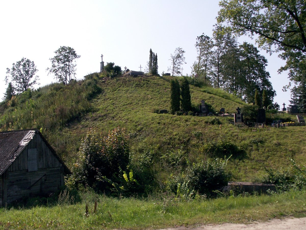
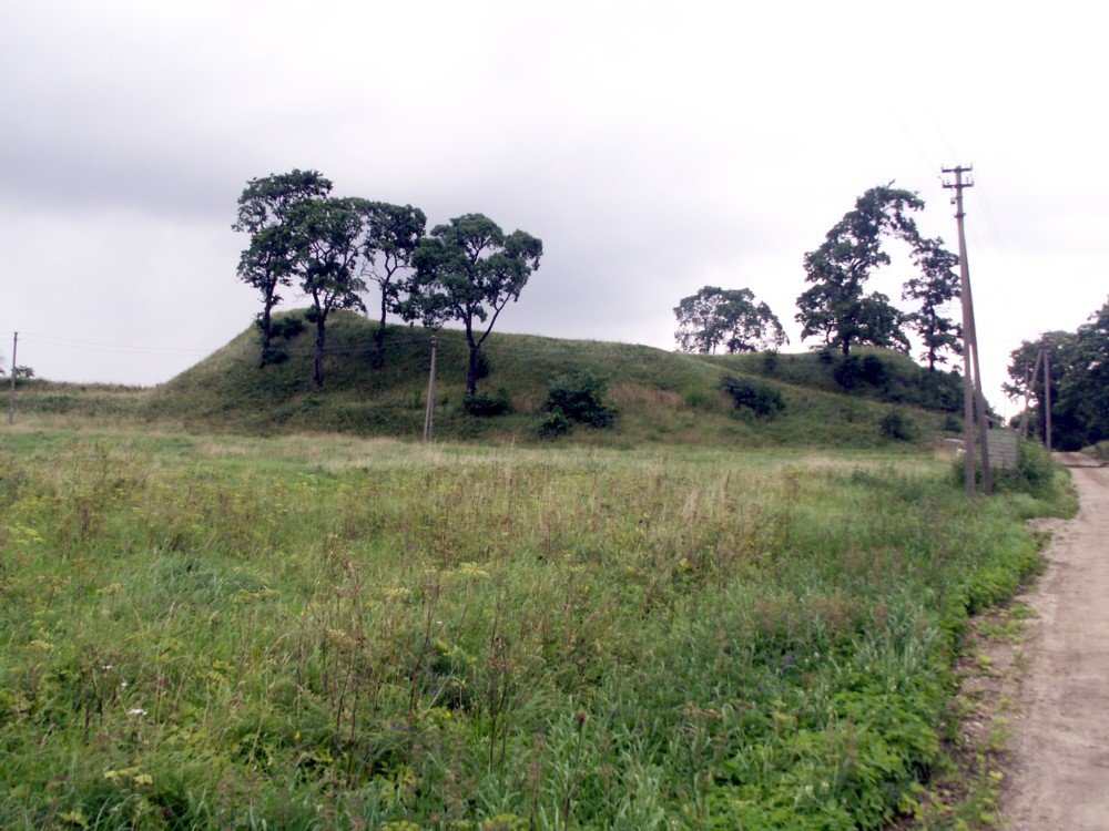
The remaining part of the hillfort is very weathered, making it difficult to see the features of the hillfort. It is considered to be a triangular plot located at the top of the elevation, measuring 20 meters long from east to west and 13 meters wide at the eastern end. On the eastern edge of this plot is a pit 28 meters long and 10 meters wide, which may be a very weathered rampart. Literature describes a forecourt to the east that is 30 meters long and 28 meters wide at the eastern end, featuring a pit up to 1.5 meters high, though it does not resemble a forecourt. The slopes reach up to 13 meters in height to the south of the river.
No cultural layer has been found in the hillfort or its vicinity. The hillfort is overgrown with young birch trees and thorny bushes, while a pine forest grows nearby. The site resembles a natural coastal cliff with a weathered western end.
Sources: Wikipedia, OpenStreetMap, Wikidata, Wikimedia Commons


Written by Nicolo Ciampini
Discuss this with the author and others
No comments yet. Be the first to start the conversation.