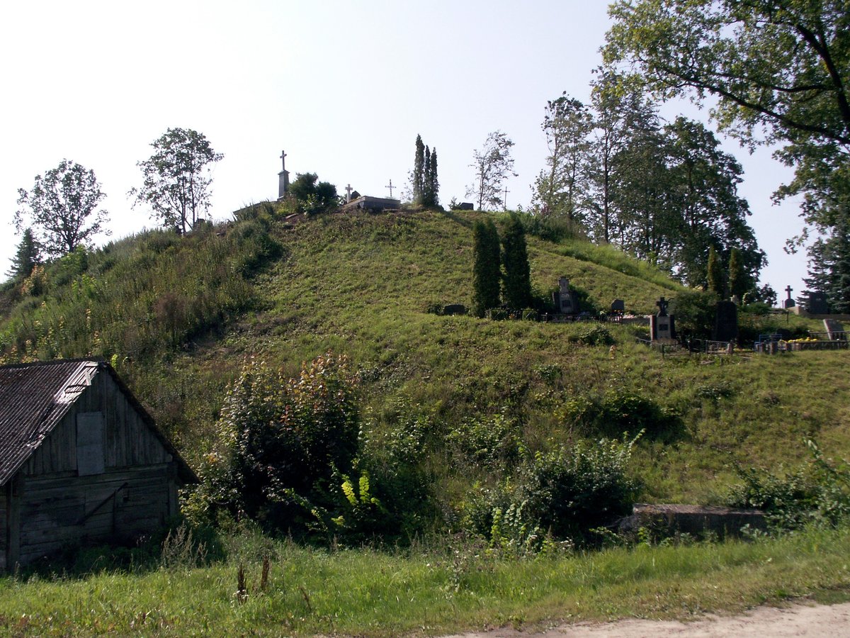

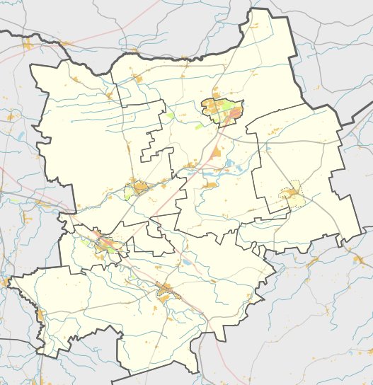
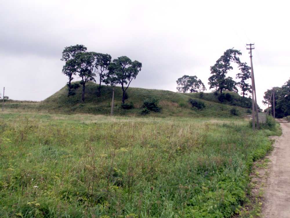
Papilė I is a hillfort and ancient settlement located on the left bank of the Ventas River. It sits on a roughly rectangular plateau measuring 55 by 25 metres. The site features a rampart on the southern edge of the plateau and is located in the Papilė settlement, near the Papilė St. Joseph's Church and the Papilė bridge.
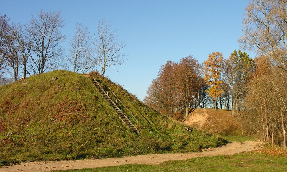
The Chronicles of the Order of the Livonian Brethren mention Papilė in 1253. The castle at Papilė was attacked by crusaders in 1339 and 1359. The fortifications include a rampart and a 2.5-metre deep ditch. The slopes of the rampart reach heights of 20 metres in the east and up to 15 metres in the west. The area is currently covered in hazel bushes.
The site contains a 19th-century cemetery. The graves in the courtyard and the ditch destroyed the former cultural layers, mixing the soil and the rampart. Nearby, on a 3-hectare plot to the west and north, lies the Papilė I settlement, which was researched in 1986, 1998, and 2000. Another site, a 7th to 14th-century ancient cemetery, is located 300 metres to the southeast.
Sources: Wikipedia, OpenStreetMap, Wikidata, Wikimedia Commons


Written by Nicolo Ciampini
Discuss this with the author and others
No comments yet. Be the first to start the conversation.