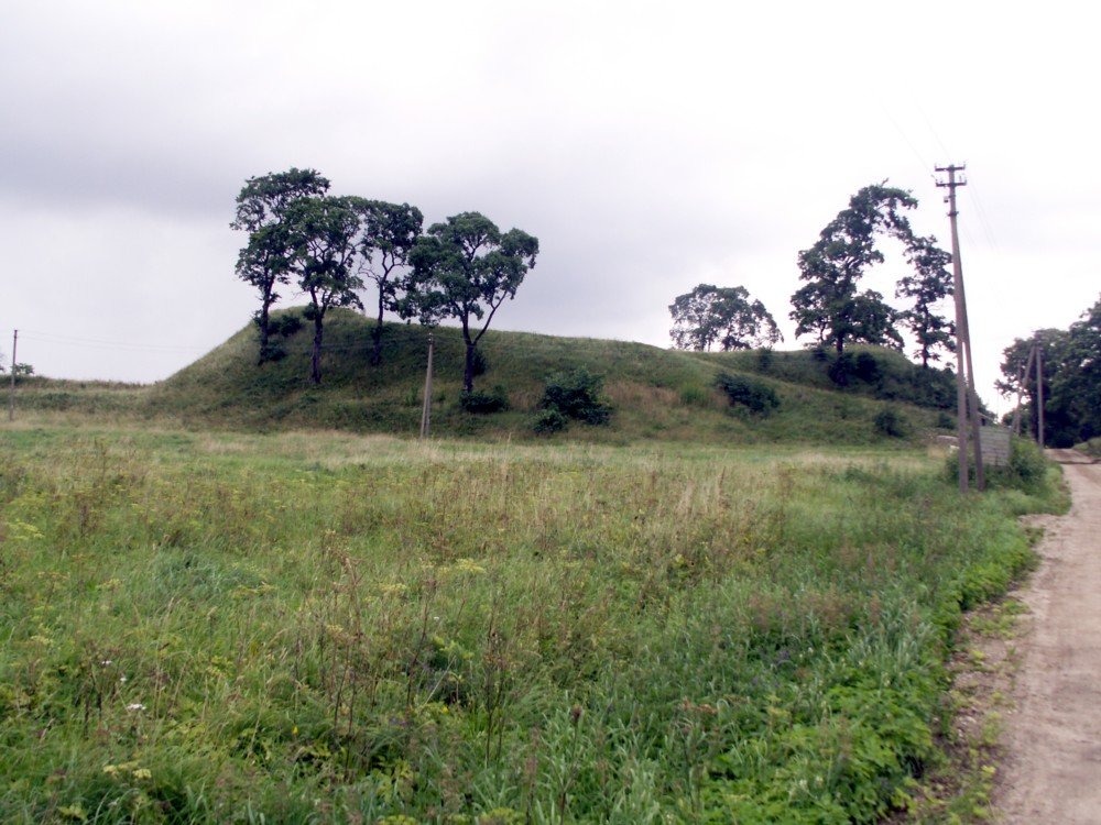

Luponiū hillfort, known as Perkūnkalnis or Raganų kalnas, is nestled in Luponių village, a part of Kužių seniūnija in the Šiauliai region. It stands independently on a hill and is approximately 30 x 35 meters wide, 8-9 meters high on the north, center, and south hills, and 4 meters high, covering 3 hectares, on the west hill. The oval-shaped hill faces northwest and is about 45 meters long and 33 meters wide. The west hill, lower, has a 22-meter-long and 3-meter-high entrance leading to a 2-meter-high and 5-meter-wide terrace.
The entrance of the hill features a horizontal slot oriented towards the northwest, providing a view of the hill’s central part. The courtyard, located northwest of the hill, was dated to 1997 and contains a cultural layer dating back to the 1st to 3rd century A.D, which includes iron artifacts, pottery, and bone remains. According to historical records, it is believed that before the 14th century, there was one of Šiauliai region's hillforts in this location.
Sources: Wikipedia, OpenStreetMap, Wikidata, Wikimedia Commons
Written by Nicolo Ciampini
Discuss this with the author and others
No comments yet. Be the first to start the conversation.