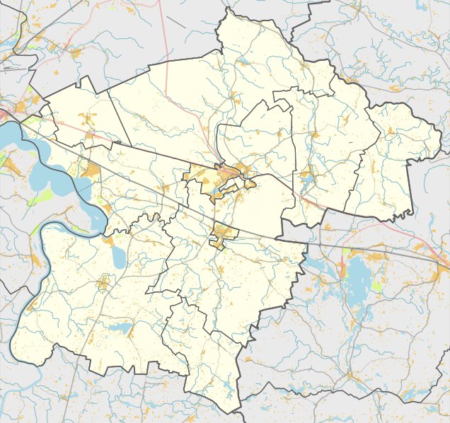

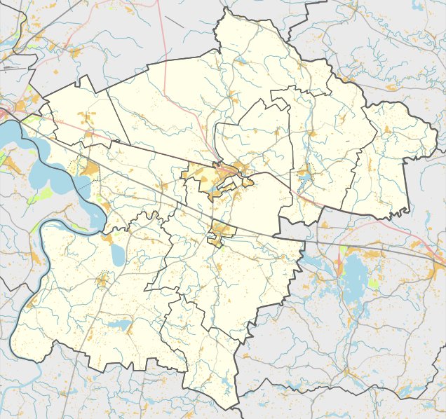
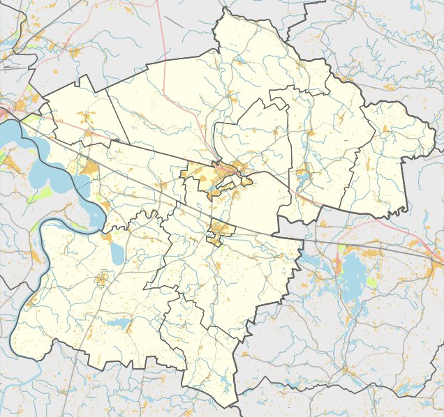
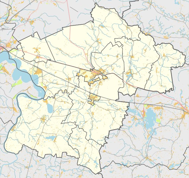
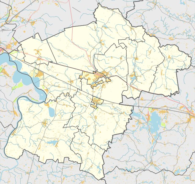
The Bijautonys hillfort is a prehistoric fortification located in the Rumšiškės eldership, to the south of Bijautonys. The site is situated on the right bank of the Strėva river in a low-lying area of a promontory. It is accessible via a path turning right from the Antkalnis - Kruonis road and is located to the southwest behind a farmstead, which is situated 100 metres to the left from the road.
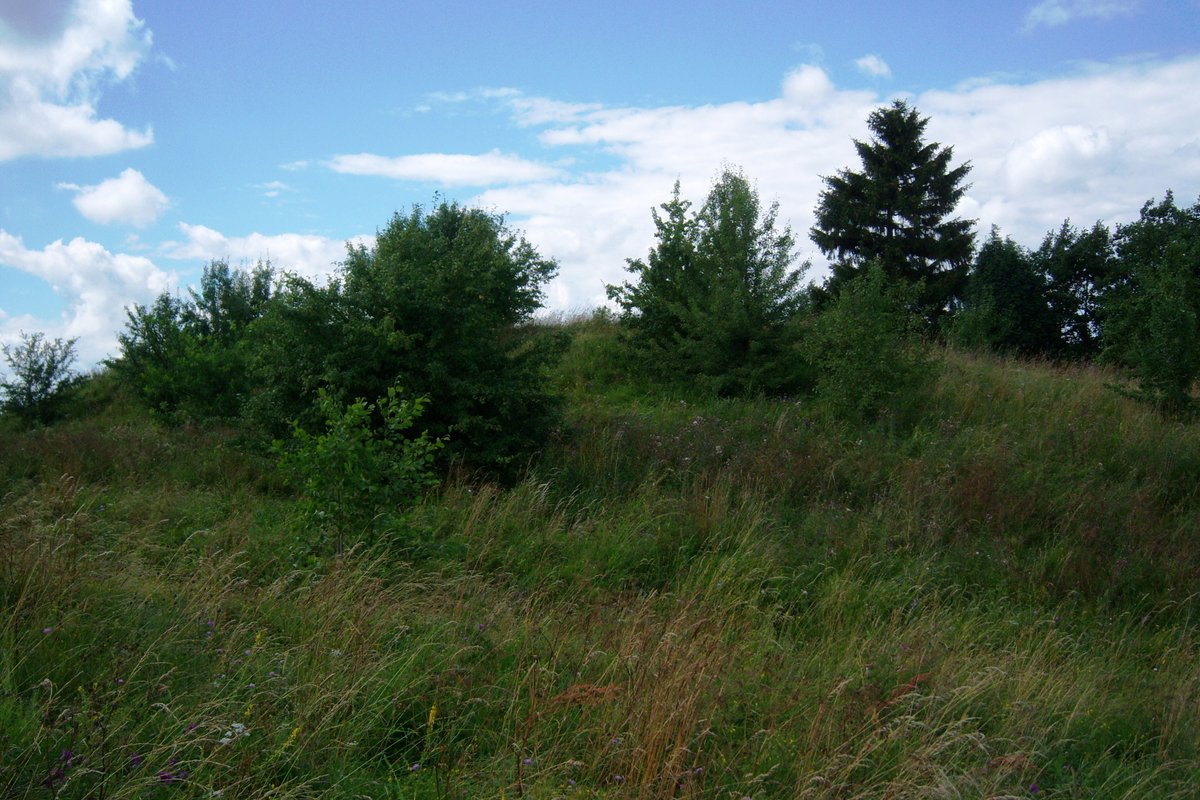
The hillfort features a rectangular courtyard, rounded at the corners, measuring 7.5 metres long and 5 metres wide, oriented northwest to southeast. Along the northwest edge, there is a rampart 2 metres high and 10 metres wide, which stands 1 metre high from the outside. Beyond this lies a 9-metre-long, 8-metre-wide fore-rampart (priešpilis) that is 1.5 metres high in the eastern part.
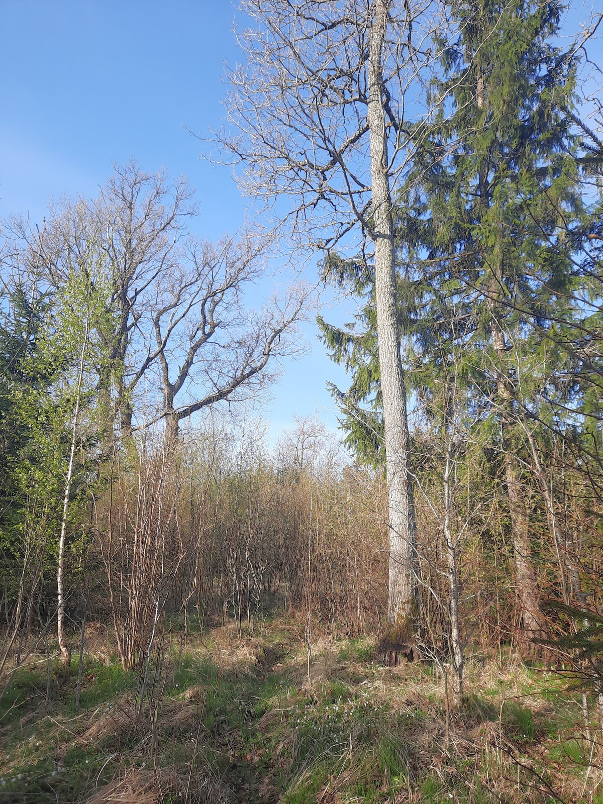
Further along the northwest edge of the fore-rampart, another rampart is filled to a height of 2 metres and a width of 17 metres. Behind this structure is a ditch 13 metres wide and 1 metre deep, which transitions into a slope rising to a height of 17 metres. The edges of the courtyard are eroded, and a ditch is dug into the fore-rampart embankment. The site is surrounded by hazel trees and shrubs.
Dating from the 1st millennium to the beginning of the 2nd millennium, the hillfort was recognized as a state-protected monument in 2005. The archaeological site covers an area of 14,000 square metres and was surveyed by the Institute of History in 1971.
Sources: Wikipedia, OpenStreetMap, Wikidata, Wikimedia Commons
Written by Nicolo Ciampini
Discuss this with the author and others
No comments yet. Be the first to start the conversation.