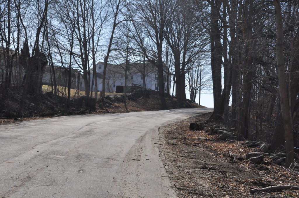
Rochambeau's French troops marched here in June 1781. They headed to Virginia. They returned in November 1782.
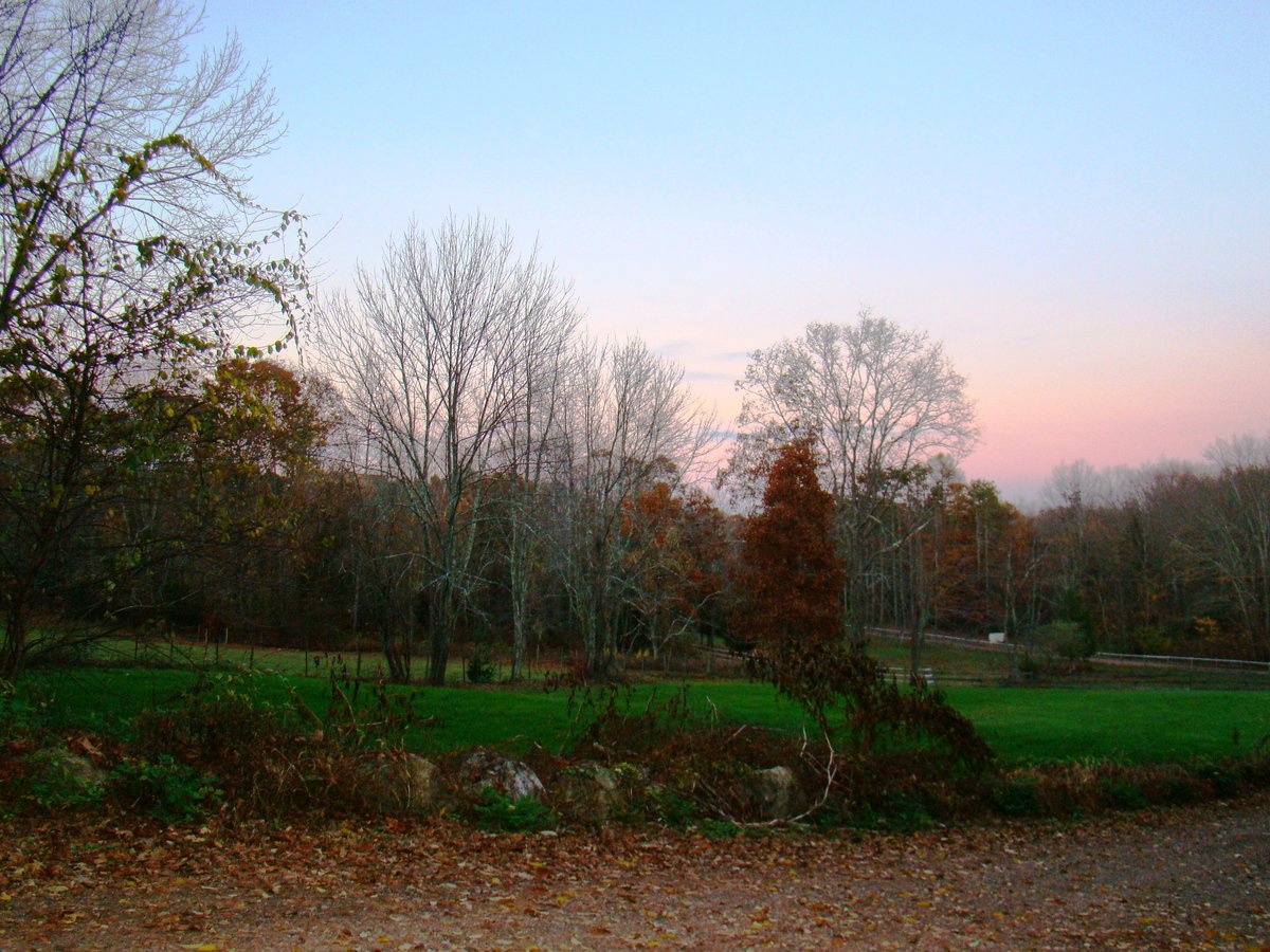
French chroniclers wrote about the scenery. They saw rye, wheat, and maize. They noted the potatoes. They saw oaks and chestnuts. Louis-Alexandre Berthier drew a map of the passage.
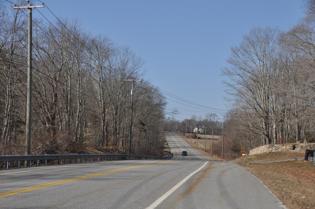
The site covers two acres in western Plainfield. It includes Canterbury Road and Old Canterbury Road. That section was bypassed in the 1930s. It is a narrow window paved road with a border of shrubs and vines and stone walls along much of its length.
Mature sugar maple trees stand here today. Most nearby houses are modern. They sit far back to leave the atmosphere intact. It was listed on the National Register of Historic Places in 2003.
Sources: Wikipedia, OpenStreetMap, Wikidata, Wikimedia Commons

Written by Leroy
Discuss this with the author and others
No comments yet. Be the first to start the conversation.