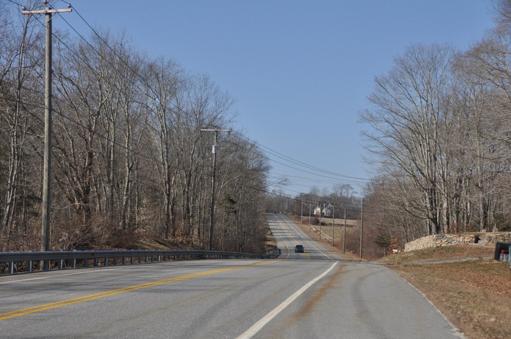
In 1781, the roadway was poor, at least to the east of the hamlet of Plainfield just east of the listed district, and it caused difficulty for the artillery and baggage trains making their way to Plainfield from their second camp near Waterman's Tavern in Rhode Island. The terrain was hilly and winding. It caused a logistical headache for the army heading toward Yorktown. Clermont-Crevecoeur and Von Closen recorded the poor condition, noting that the artillery and supply wagons arrived very late and that there were many stragglers.
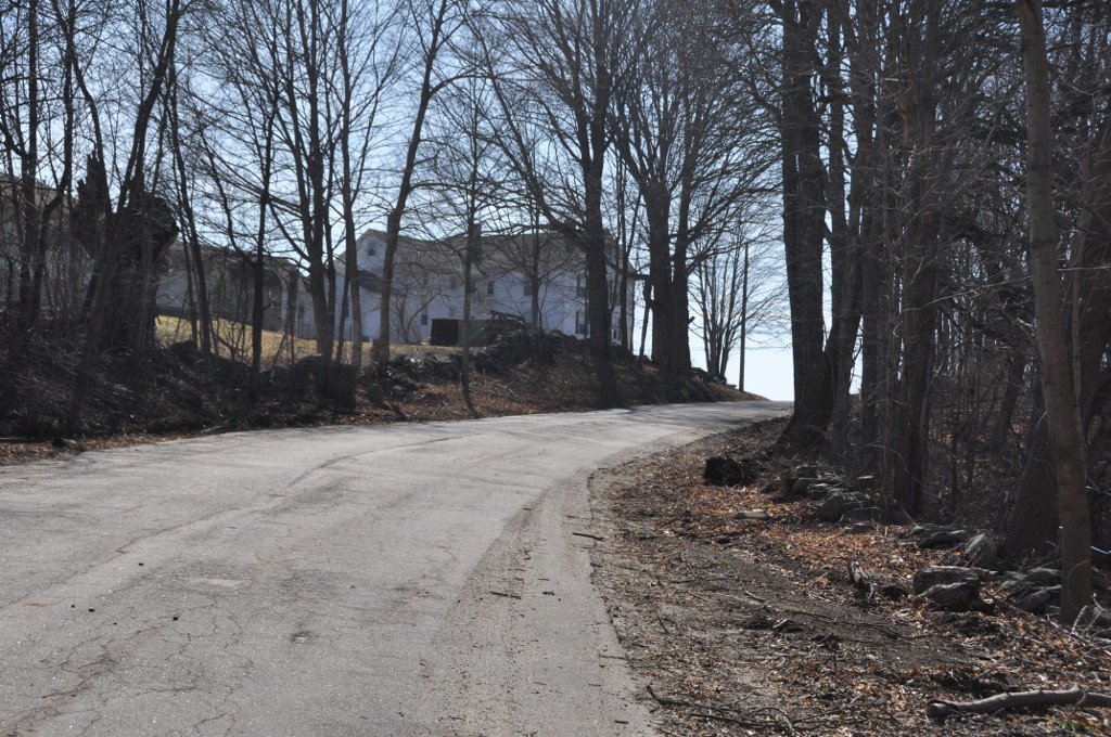
Now it is a paved state highway called Plainfield Pike. It survived as a continuous portion with its original physical attributes. Stone walls sit about 50 feet apart for most of the way. As of 2002, the walls were clearly visible at some times of the year, although overgrown in places, but difficult to see in the summer.
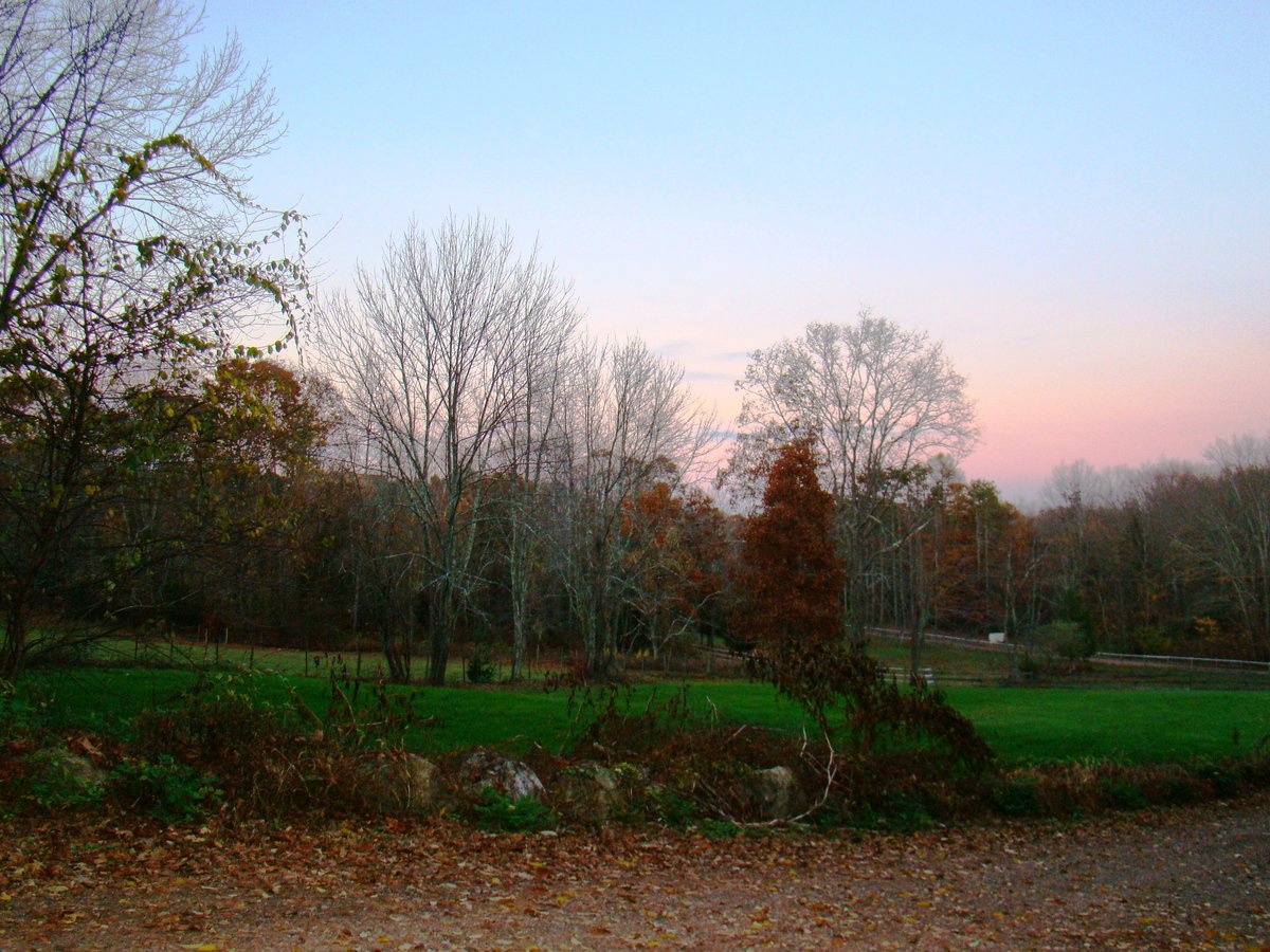
The land still looks like the countryside of the 1780s. There are open pastures and cornfields. Ekonk Brook flows through the area. It is the only portion of the route that still offers repeated vistas of distant ridges to the west. Elsewhere, the route has been too affected by re-forestation to allow such views.
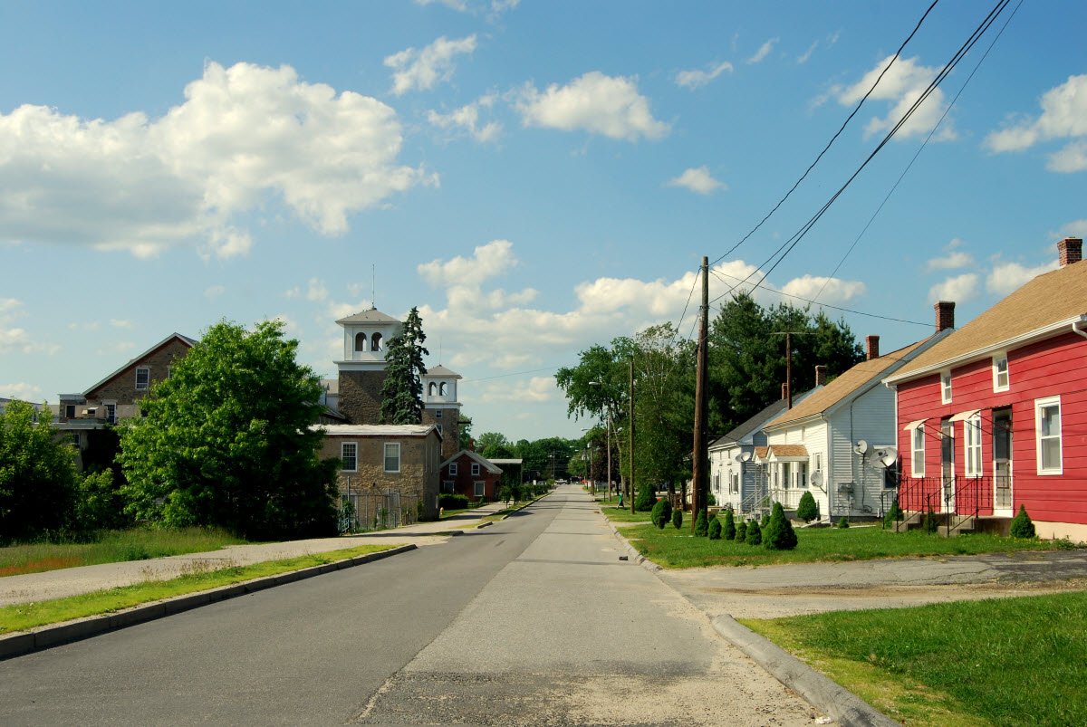
Old houses sit in the Sterling Hill Historic District nearby. One is the Dorrance Inn. French accounts of the march mention it by name. This linear historic district was listed on the National Register of Historic Places in 2003.
Sources: Wikipedia, OpenStreetMap, Wikidata, Wikimedia Commons
Written by Leroy
Discuss this with the author and others
No comments yet. Be the first to start the conversation.