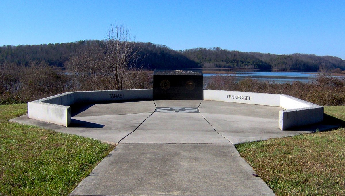
Once ruled by the Tanasi Warrior, Tanasi was a flourishing Cherokee settlement that first appeared in the historical record in the early 18th century. It was strategically located by the Little Tennessee River in present-day Monroe County, Tennessee. After Moytoy's coronation in Tellico in 1730, power shifted to Great Tellico. By the 1740s, Chota had become the more prominent of the two towns, and the sites were eventually abandoned by the Cherokee in the 19th century.
Archaeological surveys were conducted of these sites in the 1970s prior to their flooding, and thousands of artifacts were recovered. Both sites were submerged by the creation of Tellico Reservoir after a dam on the Little Tennessee River was completed in 1979.
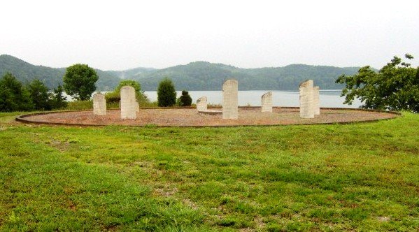
In the 1980s, the Tennessee Valley Authority placed a monument on the shoreline above the submerged site of Tanasi. This monument commemorates its history and its legacy as the origin of the name Tennessee. Just off Highway 455 (Citico Road) 7 miles (11 km) southeast of Vonore, the Tanasi Monument is now managed by the Eastern Band of the Cherokee Nation.
Sources: Wikipedia, OpenStreetMap, Wikidata, Wikimedia Commons






Written by Leroy
Discuss this with the author and others
No comments yet. Be the first to start the conversation.