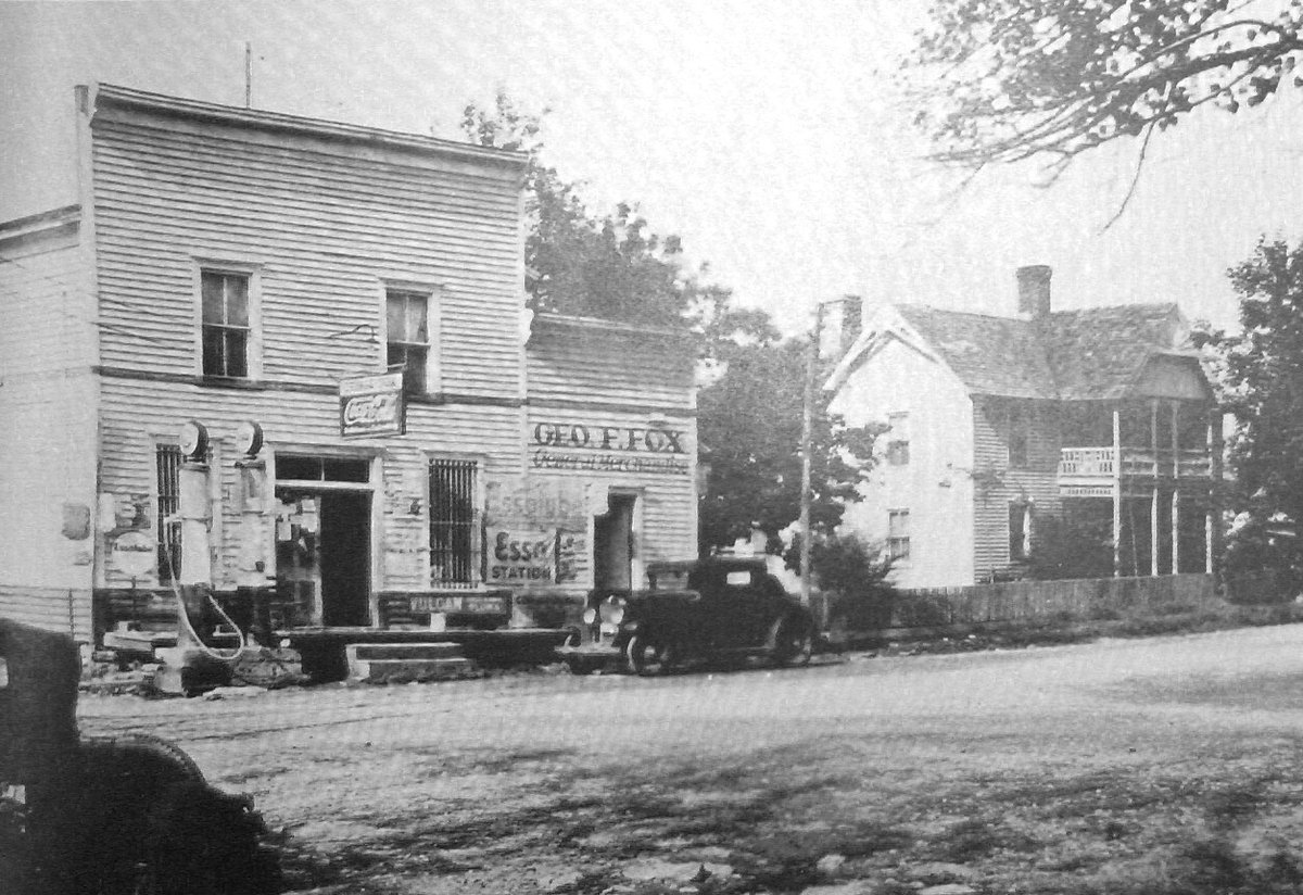
In its prime, Loyston, a former settlement, lies at the Clinch River's deepest point. This thriving community had a foundry built by its namesake, John Loy, and served as a trading hub for farmers. Its location along State Highway 61 once boasted a post office and several small businesses. With the construction of Norris Dam in the 1930s, Loyston, home to 70 residents, was submerged. Before its demise, thorough sociological studies were conducted by the Tennessee Valley Authority (TVA). Photographer Lewis Hine captured its last days on camera. The displaced residents scattered across the area, forming the community of New Loyston a few miles south. Today, Loyston lies beneath a mile-wide section of Norris Lake, a body of water affectionately called the 'Loyston Sea', while the remnants rest within Big Ridge State Park.
Sources: Wikipedia, OpenStreetMap, Wikidata, Wikimedia Commons
Written by Leroy
Discuss this with the author and others
No comments yet. Be the first to start the conversation.