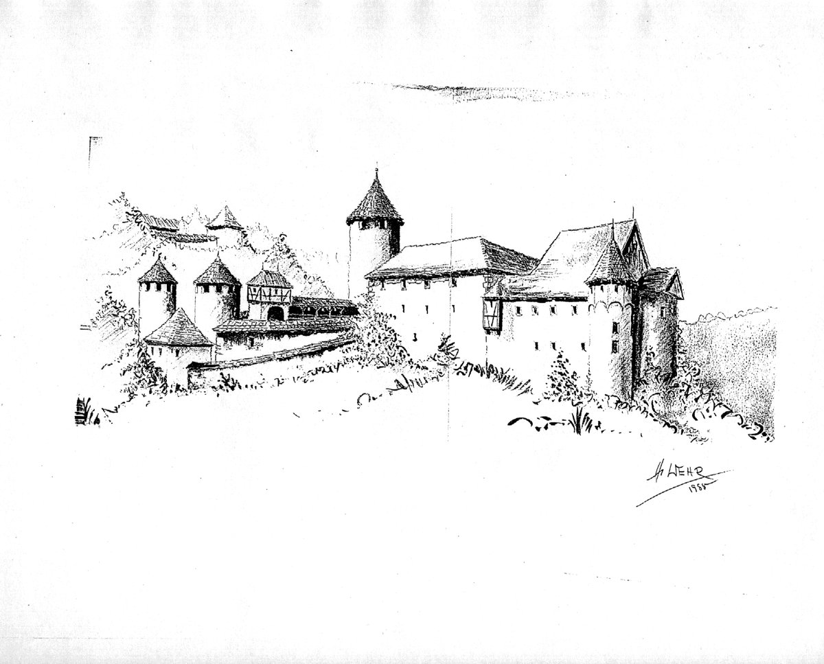
The name Marstetten reveals a landscape of division. Long before the first stones were laid on the Burghalde hill, the earth here served as a marker. Records date this boundary back to roughly 838, a time when it carved a path between the Illergau and the Nibelgau. It was a line in the grass and soil that separated the territory of the Stift Kempten from the lands of the monastery of Ottobeuren.
On this rise, at an elevation of 657.8 metres, a Spornburg was likely built in the 11th century by a branch of the Markgrafen von Ursin-Ronsberg. The defensive structure overlooks the Zeiler Schotterfeld and the edge of the Illertal. By the 12th century, the site was a seat of local power. In 1125, Rupert von Marstetten of the house of Ursin-Ronsberg held ownership, and the castle functioned as a center of high jurisdiction. While the locals might look to the surrounding hills for shelter, the legal weight of the County of Marstetten reached as far as Memmingen, where the courts sat.
Ownership of the stones shifted like the seasons. In 1281, the site became a fief of the Stift Kempten, and by 1351, it passed into the hands of the von Königsegg family. In 1525, the castle was looted by peasants, a violent interruption in its long tenure as a sentinel. Later, in 1566, it became a Reichserbtruchsessen of the Waldburg family, before eventually becoming Wurzachisch in 1675.
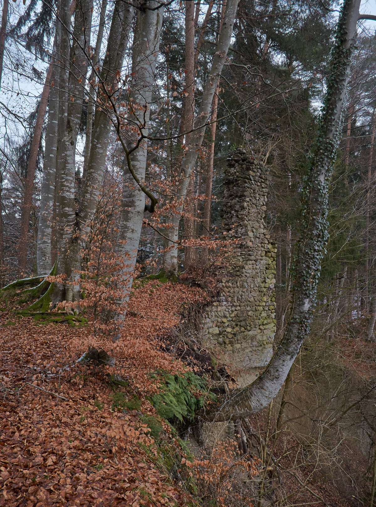
History reached a jagged conclusion during the Thirty Years' War. Swedish troops moved through the region and destroyed the castle, leaving the masonry to surrender to the elements. Unlike many other fortifications of the era, the castle was never rebuilt.
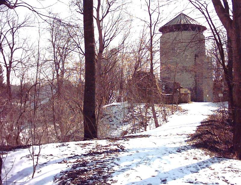
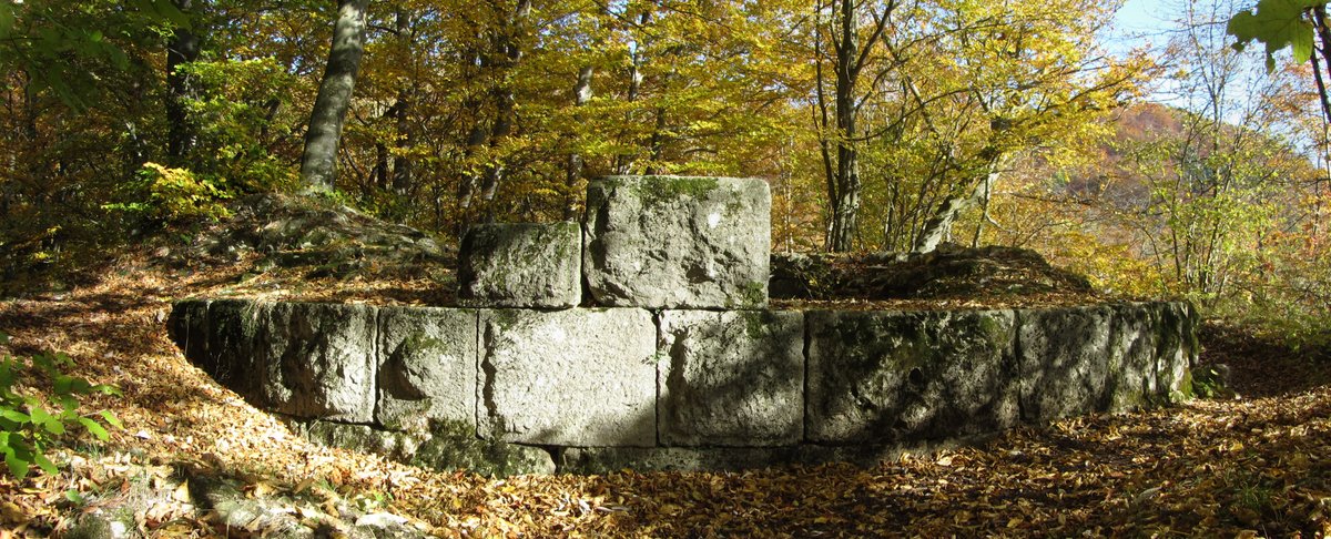
Today, the ruin is split by the L314 road, a modern artery cutting through the ancient geography. To the south lies Burg Alt-Marstetten, and to the north, a newer section remains. The house of Waldburg-Zeil owns the land now. Visitors find a place where the wild grass of the Allgäu border meets the lingering geometry of a medieval stronghold, a site that once dictated where one kingdom ended and another began.
Sources: Wikipedia, OpenStreetMap, Wikidata, Wikimedia Commons

Written by Aurora
Discuss this with the author and others
No comments yet. Be the first to start the conversation.