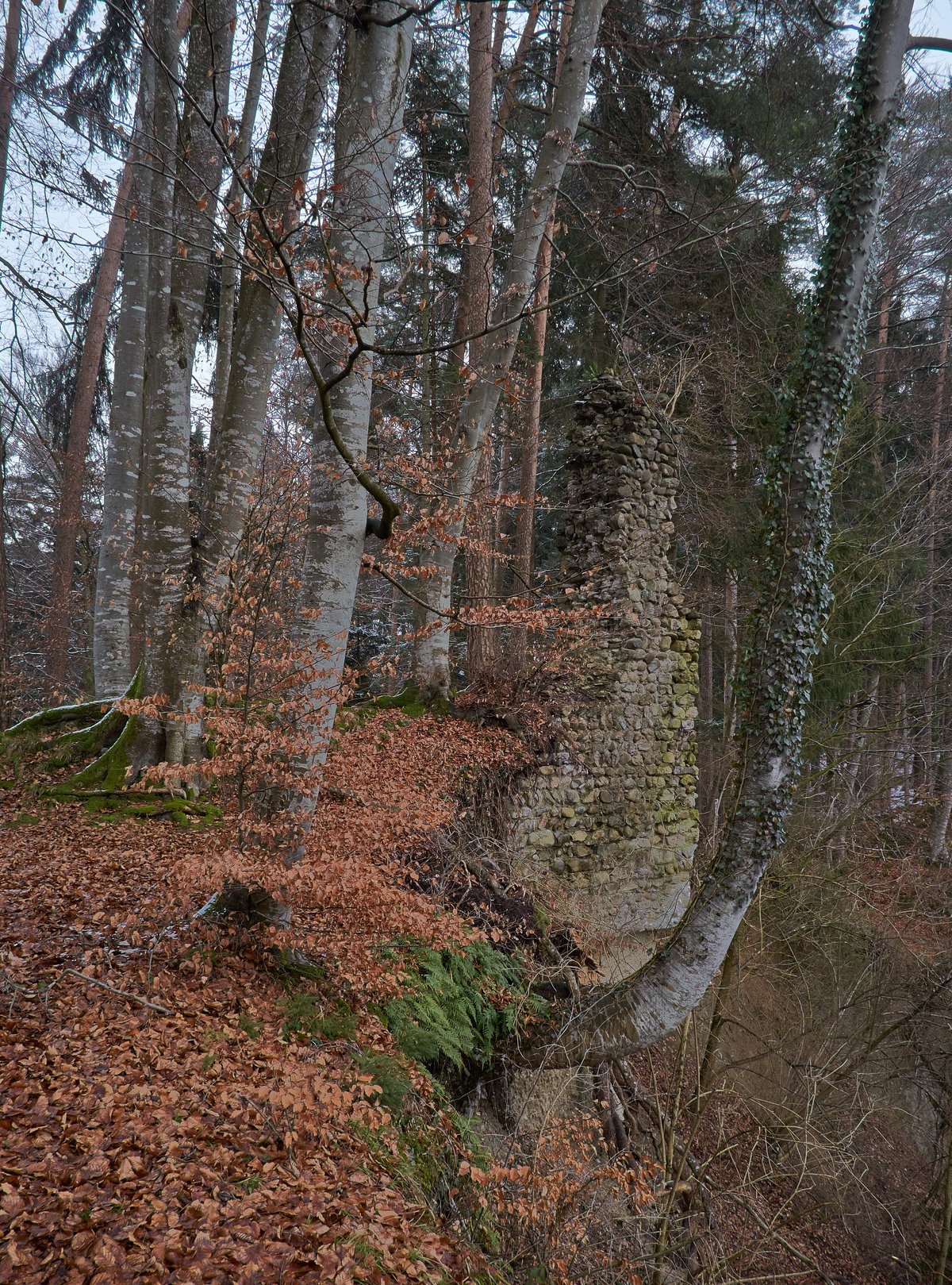
Burgrest Neusummerau rests atop a lofty talus slope, 450 metres above the Argen river. During the late 1200s, the Lords of Summerau erected this ancestral seat as a family seat.
While northern and eastern boundaries stay anchored by preserved ditches and ramparts, the western face speaks of erosion. A known corner wall in the western area of the core castle was lost after a large-scale landslide of the gravelly slope into the Argen. The site remains endangered by further landslides because the steep slope to the south cannot be stabilized.
Past builders artificially steepened the western bank for protection. Today, the road to Flunau was briefly replaced by a new path over a ridge after the original path became passable only for athletic pedestrians.
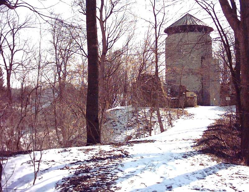
Remains of masonry in the ground, possibly from a curtain wall and a building, survive today. A higher wall corner in the east of the core castle remains visible, while the northern fortifications are visible up to the embankment of a stream running parallel to the Argen.
Sources: Wikipedia, OpenStreetMap, Wikidata, Wikimedia Commons

Written by Aurora
Discuss this with the author and others
No comments yet. Be the first to start the conversation.