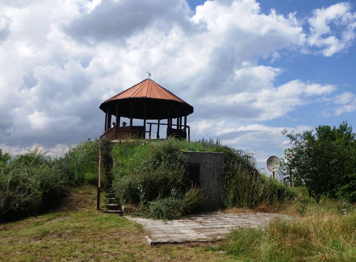
Heimburg Castle sits on a rounded hill about 330 metres above the valley, a crown of stone watching over the village of Heimburg. It was built in the 10th century, a time when the landscape was defined by the silver veins of the Harz mining region. The primary task of this fortress was defensive: it stood as a gatekeeper for the route leading toward Bodfeld, an imperial hunting base where the high nobility sought sport in the forests.
History recorded the castle as a possession of Emperor Henry IV as early as 1073. Yet, its longevity was interrupted by violence. In 1123, following the Battle of Welserholz, Saxon forces moved in and destroyed the structure. It rose again in 1143 under the patronage of Henry the Lion, who entrusted its upkeep to a ministerialis named Anno of Heimburg. This period of ownership eventually gave way to a multi-generational feud between the houses of Heimburg and Regenstein. The conflict ended with a concession to Count Ulrich I of Regenstein, whose descendants adopted the name Regenstein-Heimburg to reflect their new inheritance.
By the 16th century, the castle remained a significant fief, passed through many hands. That era of continuous use eventually fractured during the Thirty Years' War. When the walls were finally breached and destroyed during the conflict, the owners made a practical, if destructive, choice: the castle was never restored. Instead, the local inhabitants treated the ruins as a convenient quarry, dismantling the ancient masonry to provide stone for new buildings in the valley below. The fief remained tied to the castle until 1599, when the Regenstein line died out and the land reverted to the Duke of Brunswick.
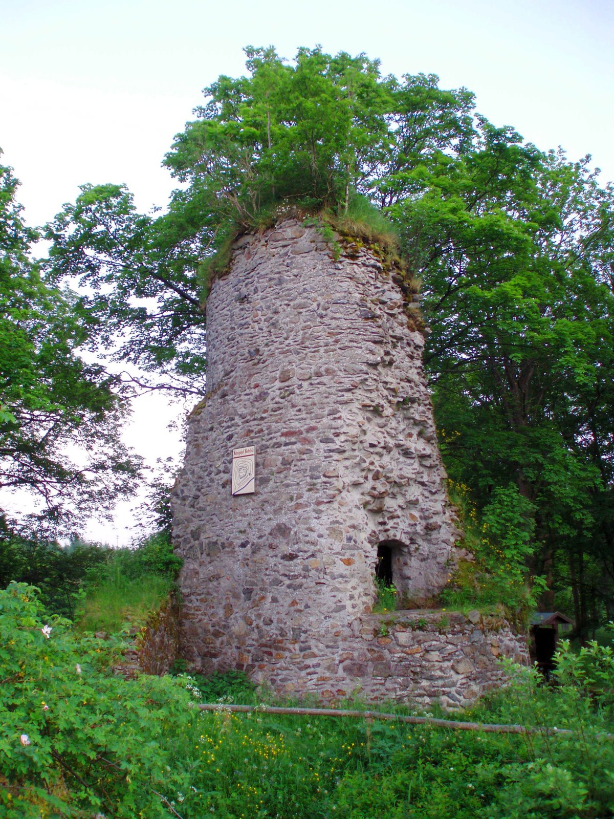
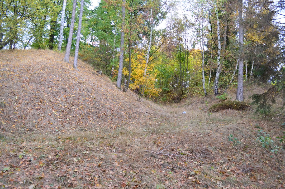
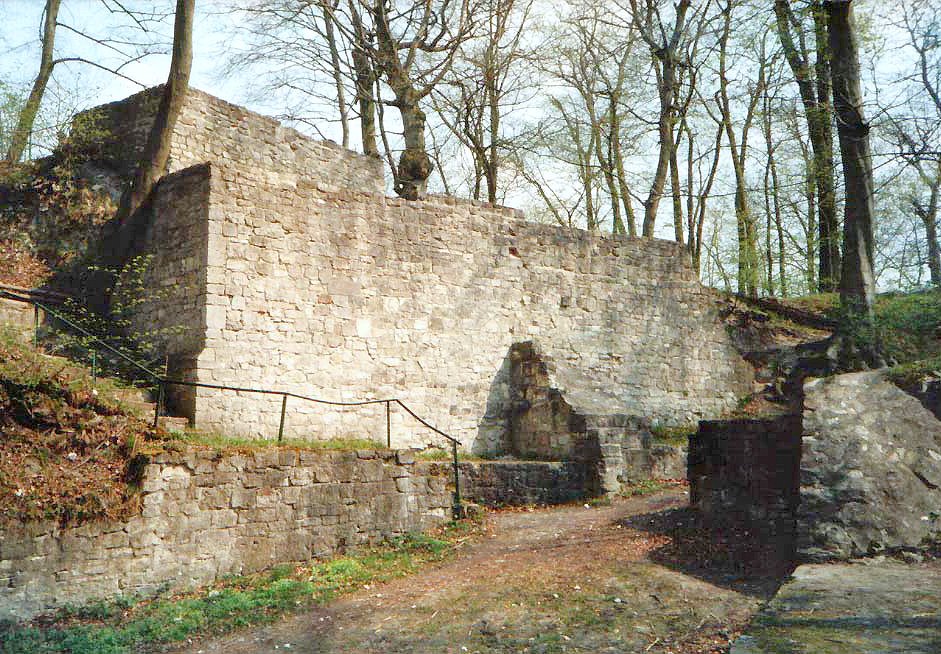
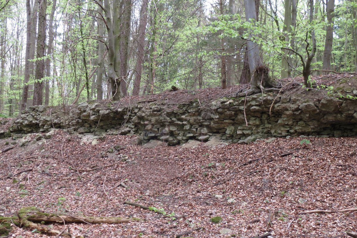
The site spent centuries as a hollow skeleton until the late 19th century, when archaeologists began systematic excavations between 1891 and 1894 to uncover what remained of the medieval footprint. It was not until 1990 that the site was refurbished for the public to walk through. Visitors today can trace the geometry of the inner ward, which once measured 60 by 35 metres. The most prominent remaining feature is the round bergfried, a sturdy tower that survived the centuries of scavenging, along with the fragments of a 10-metre high curtain wall and the lingering traces of ditches and ramparts.
Sources: Wikipedia, OpenStreetMap, Wikidata, Wikimedia Commons
Written by Aurora
Discuss this with the author and others
No comments yet. Be the first to start the conversation.