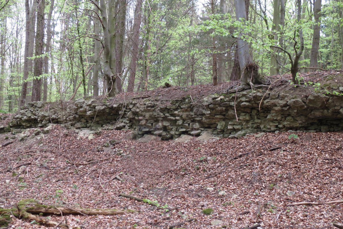
The Grenzlerburg sits in a depression within the Salzgitter highlands, a site chosen with practical intent. The depression was used to collect surface water for a reservoir to feed a moat.
This late-medieval site served to protect the eastern holdings of the Bishopric of Hildesheim, specifically the salt springs located in what is now Salzgitter-Bad. The castle also protected several roads, including a major medieval road that passed nearby, connecting Hildesheim to Halberstadt and linking paths from the Harz mountains to Braunschweig.
The structure was a heavily fortified tower castle, occupying a complex of about 100 by 100 meters. At its heart lie the foundations of a building measuring roughly 8 by 14 meters. The walls here are 80 centimeters thick, yet they were not strong enough to support a stone tower. Instead, it is assumed to have been a residential tower with upper wooden floors.
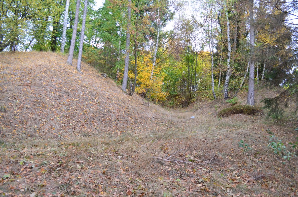
Layers of defense radiated outward from the central building. A moat between 7 and 10 meters wide hugged the main building, which was then shielded by an outer wall 7 to 15 meters wide. This wall stood 2 to 3 meters higher than the moat floor and was partially built of stone. Even further out, a secondary moat, three meters deep and between 5 and 20 meters wide, provided a final perimeter. A 3-meter high wall closed this outer ditch, featuring two inlets on the north side to release water into the inner moat as needed. A small pond at the southern corner acted as a water reservoir for flooding the ditches, while an earth bridge at the southwest corner connected the walls.
The site holds echoes of even older history. Archaeologists discovered remains of an earlier wall castle in the northwest. Further examination of the walls revealed traces of iron ore, indicating that an ironworks may have operated on the site at some point. The name Grenzlerburg is derived from Gremesleve and is named after the knightly family von Gremsleben, vassals of the Bishop of Hildesheim who first appeared in documents in 1326.
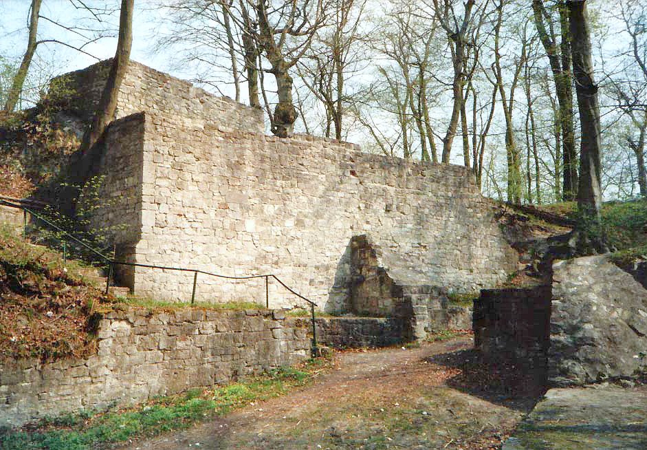
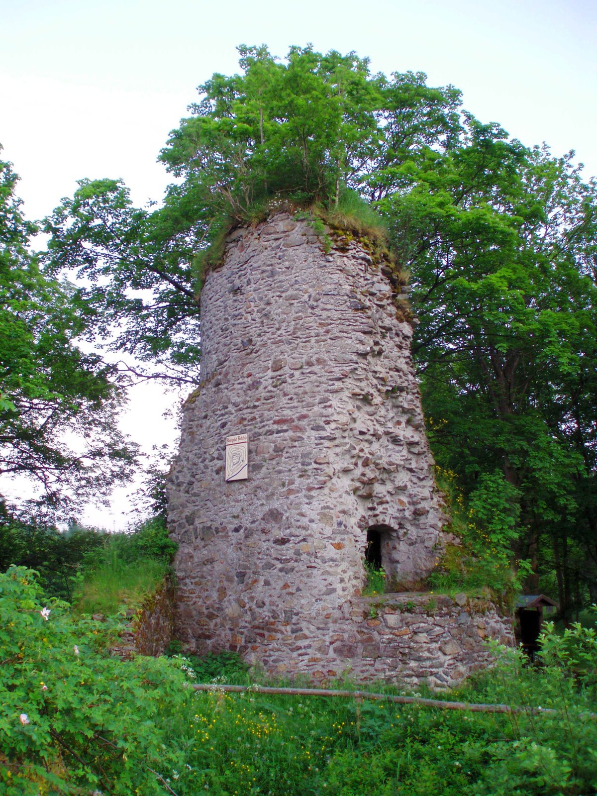
Today, the castle is a ruin. Parts of the wall system in the northwest were destroyed by the Ida-Bismarck mine after 1937. Some wall remains are still visible, including 27 meters of stone on the northeast side and further remains on the southeast side. It is a place where the geography of the highlands and the requirements of the salt trade shaped a permanent mark on the landscape.
Sources: Wikipedia, OpenStreetMap, Wikidata, Wikimedia Commons
Written by Aurora
Discuss this with the author and others
No comments yet. Be the first to start the conversation.