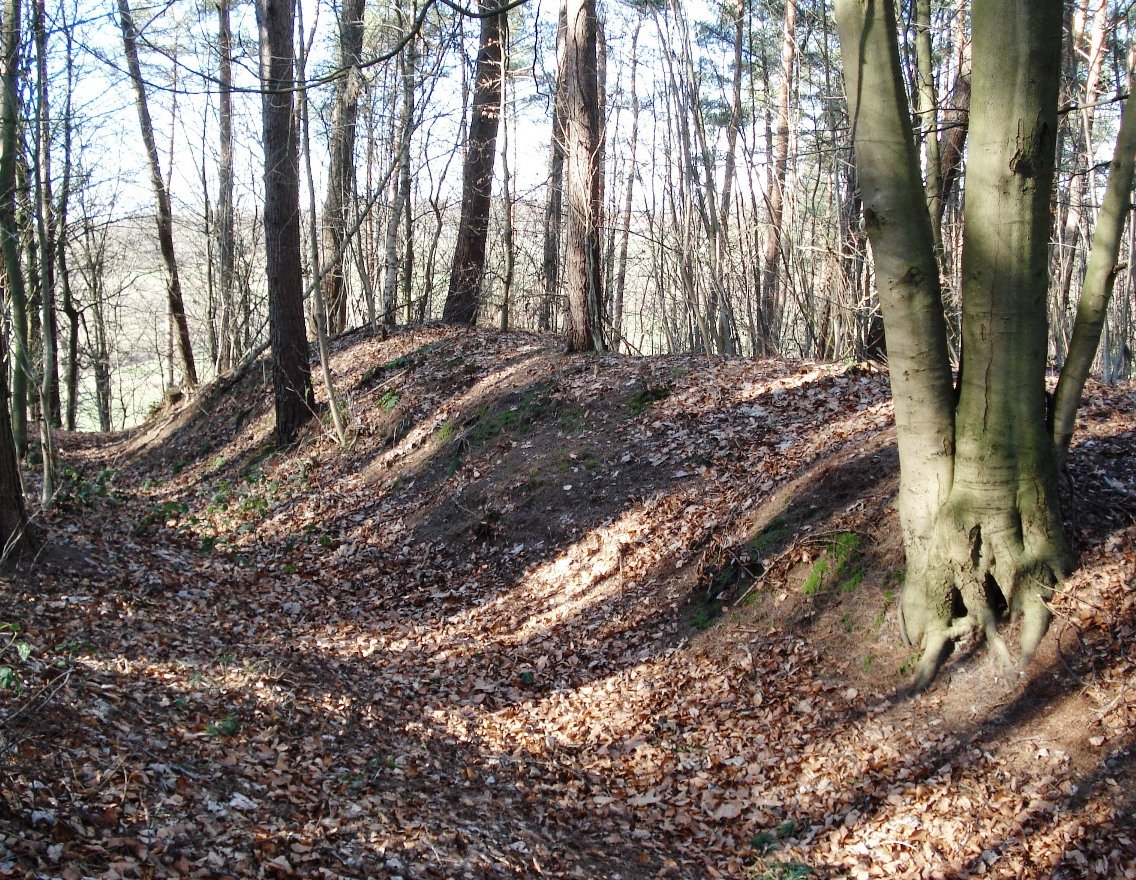
The ridge rises up to 16 meters high, a long narrow spine of land held in the northernmost reaches of the Riesebusch forest. It is at the tip of this ridge, a place called the Lange Hörn, where the ground turns into a fortress. The Schwartau river winds around the land in a loop, surrounding the long and narrow ridge.
To secure the site, builders fortified the tip of the ridge with ramparts and ditches spanning 500 meters in length. No earth-moving fortifications were required on the west and east sides due to the steep slopes. Instead, the main castle occupied the front 130 meters of the ridge, while the remaining area of the ridge formed an outer bailey.
Foundations made of fieldstones belonging to a former gatehouse within the main castle were found during excavations in 1914. This site was most likely a fortified farmyard of the Bishop of Lübeck. A farmyard on the Schwartau was mentioned in 1215 during the time of Bishop Bertold, and the fortification existed until approximately 1284.
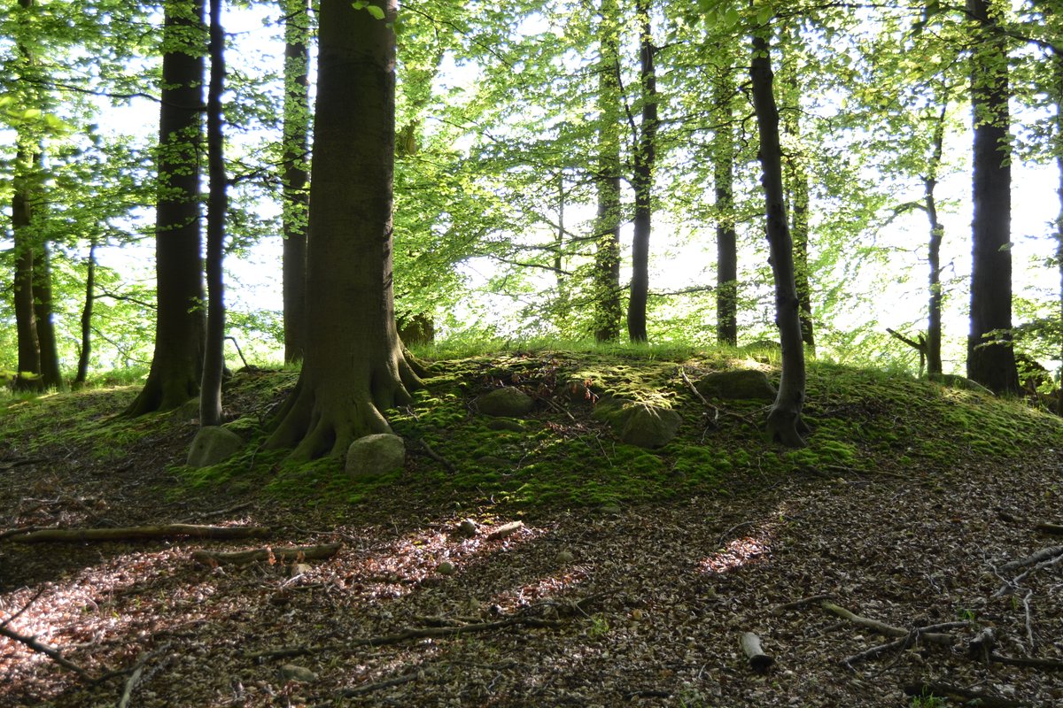
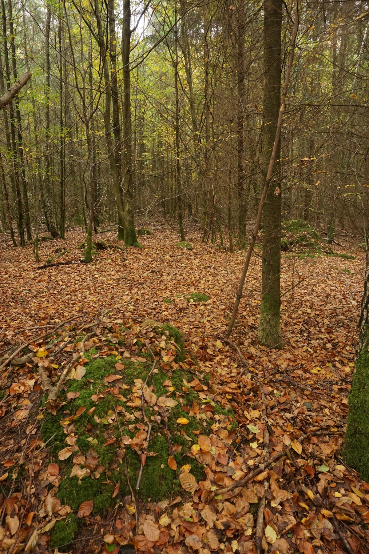
In 1284, Bishop Burkhard von Serkem built a courtyard in Kaltenhof. Today, the ramparts and ditches are still visible, etched into the landscape. The remains of the castle were placed under monument protection in 1990.
Sources: Wikipedia, OpenStreetMap, Wikidata, Wikimedia Commons

Written by Aurora
Discuss this with the author and others
No comments yet. Be the first to start the conversation.