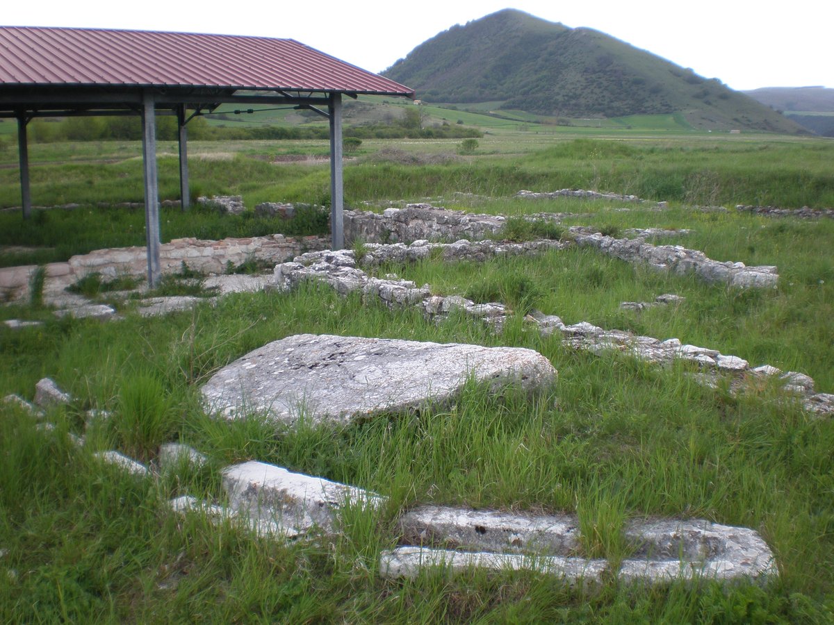

Sitting at the border of the Provinces of Macerata and Perugia, Plestia, once a 35-hectare city in the 1st century BC, was located on the Alto Casone plateau. Its eastern boundary was defined by the lake shore, while the southern boundary was approximately 200 meters from the current church of Santa Maria di Pistia. The roads Strada di Valle Vaccagna, Strada di Bocchetta della Scurosa, Strada del fiume Chienti, Strada Plestia verso Pieve Torina, and the via della Spina which leads to Spoleto, all originate from Plestia.
During its maximum expansion, the lake remained open to North and East passages. Today, visitors can explore the physical ruins within Plestia, such as the temple, portico under the church, and the private dwellings discovered near the road connecting Colfiorito to Taverne di Serravalle di Chienti. In addition, the travertine canalette and colonnade can be found near the church.
Sources: Wikipedia, OpenStreetMap, Wikidata, Wikimedia Commons
Written by Nicolo Ciampini
Discuss this with the author and others
No comments yet. Be the first to start the conversation.