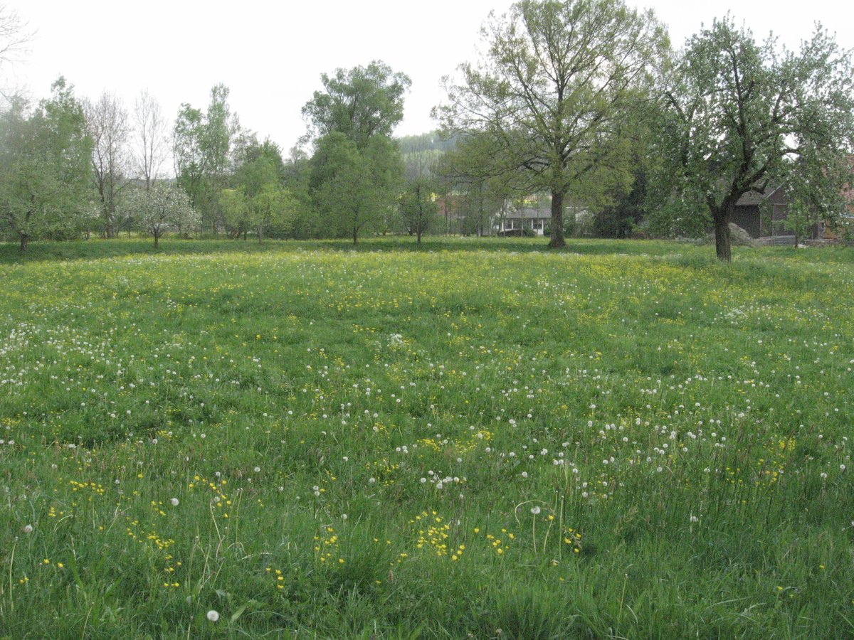
Lords of Kottspiel raised a fortress within the Bühler river's loop during the 13th century. By the middle of the 14th century, the water castle was abandoned.
Only minor remains of the former complex are preserved today, though a rectangular depression approximately 50 meters in diameter is clearly visible in the terrain. The site is situated in a courtyard position between a row of houses in the Im Burggraben hamlet to the south and the river to the east and north. The depression is slightly longer in a north-south direction than perpendicular to it, with well-formed interior slopes except for parts of the west side.
A flat dam rises less than one meter above the surrounding terrain on the east side. In the center of the depression lies a flat hill. Height differences on the site do not exceed 2 meters.
A few fruit trees are located on the site in a broken chain marking the contour of the depression. The site is currently mown as a meadow. As of May 2011, a residential building was under construction on the southern side of the site.
Sources: Wikipedia, OpenStreetMap, Wikidata, Wikimedia Commons
Written by Aurora
Discuss this with the author and others
No comments yet. Be the first to start the conversation.