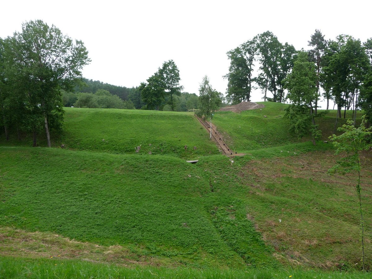

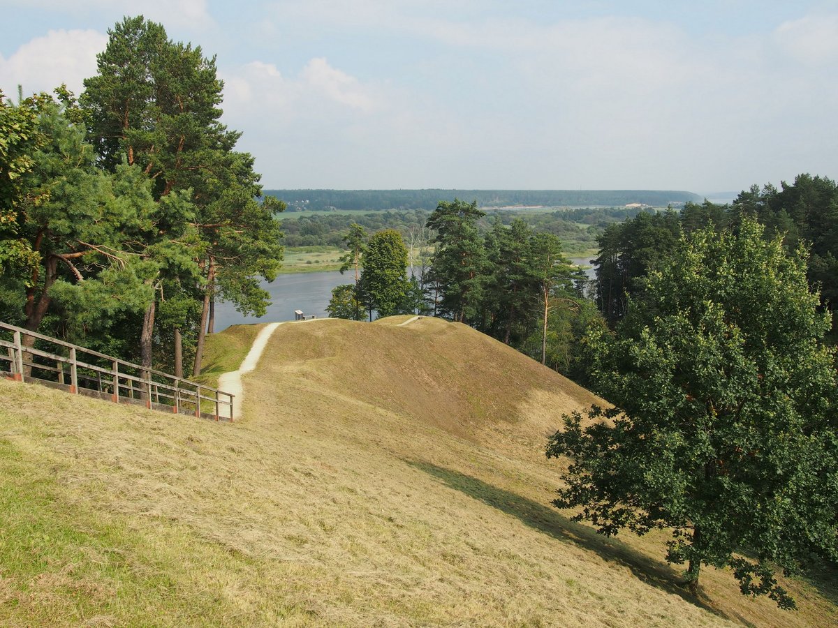
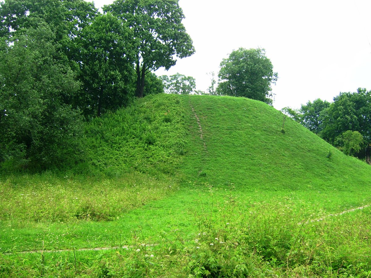
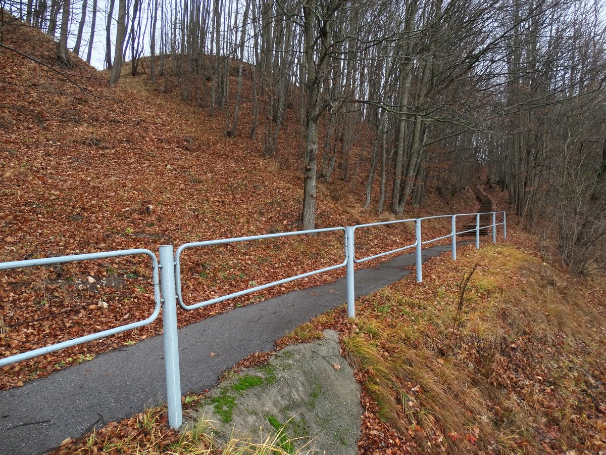
The Sudargo (Grinaičių) hillfort complex sits on a dramatic slope on the left bank of the Nemunas river. The site includes two distinct fortifications: Balnakalnis and Žydkapiai. Balnakalnis, situated about 50 meters from the riverbank, features a flat area of about 1,000 square meters surrounded by steep slopes reaching heights of up to 25 meters. It is characterized by a shape resembling a vat and has been the subject of various reconstructions over the centuries.
Žydkapiai is considered the main site of the complex, situated on a natural promontory protected by water on two sides and marshes on the others. Dating back to the 1st millennium BC and the beginning of the 2nd millennium AD, it served as a prehistoric settlement and a hideout in the early centuries AD. The site features a level, oval area measuring approximately 35x30 meters, with steep slopes rising up to 25 meters, particularly on the side facing the river.
During the 18th and 19th centuries, the site was used as a cemetery. Archaeological excavations in 2009 revealed 56 burials from this period. Some of these graves included items such as locks and ceramic combs. Below the later layers, archaeologists found evidence of early cultural layers including burned stones, animal and domestic bones, and iron tools. The site is surrounded by a protected archaeological monument covering about one hectare.
Sources: Wikipedia, OpenStreetMap, Wikidata, Wikimedia Commons


Written by Nicolo Ciampini
Discuss this with the author and others
No comments yet. Be the first to start the conversation.