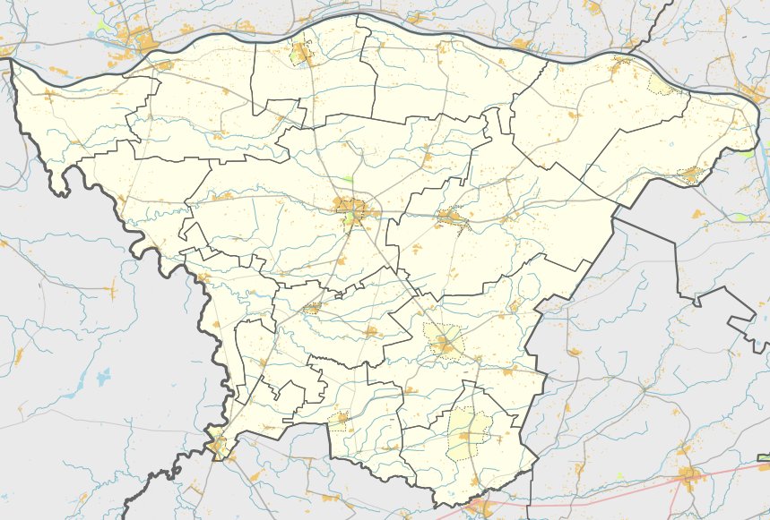

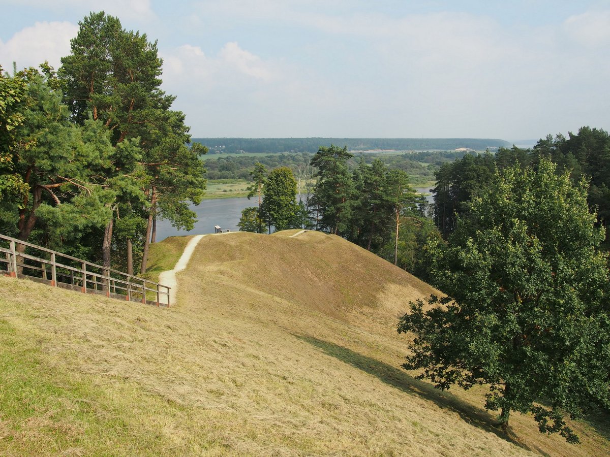
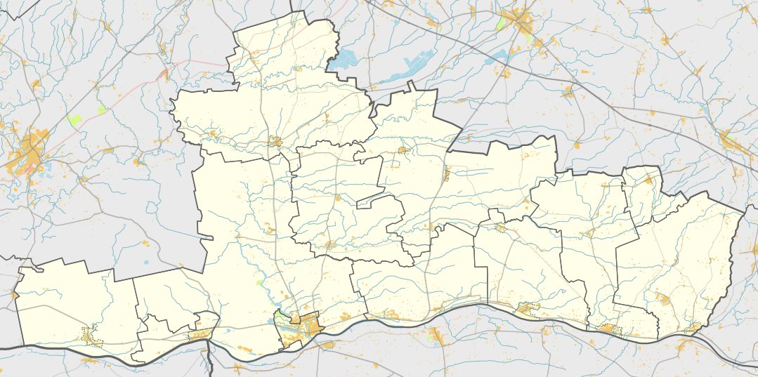
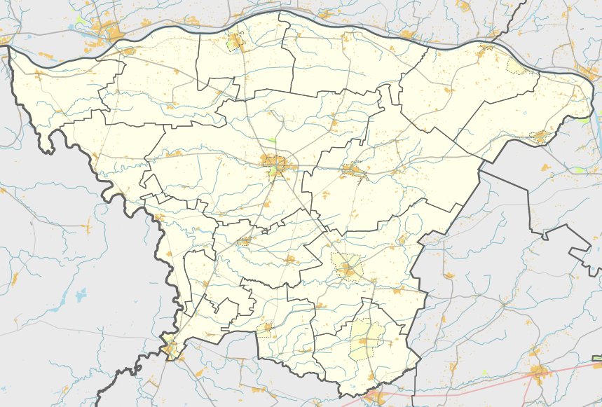
The Kukarskės piliakalnis is a hillfort and settlement located in the Šakiai district, situated northeast of Kukarskės. It sits on a narrow headland at the confluence of the Nemunas and Šerenta rivers, 50 metres from the left bank of the Nemunas. The site is accessible via a path that leads into the Šerenta river valley, approximately 1.5 km southwest of the bridge over the Nemunas.
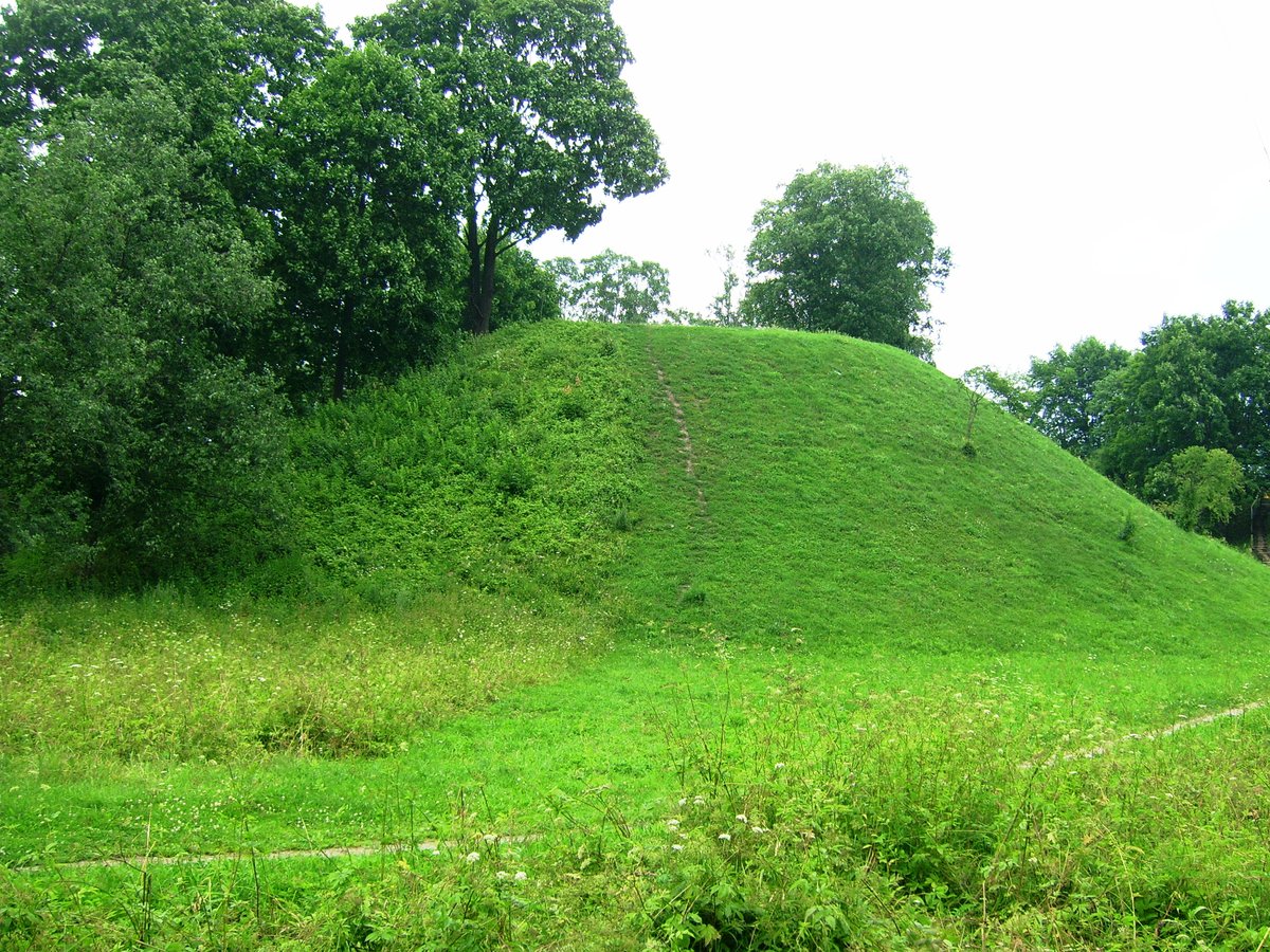
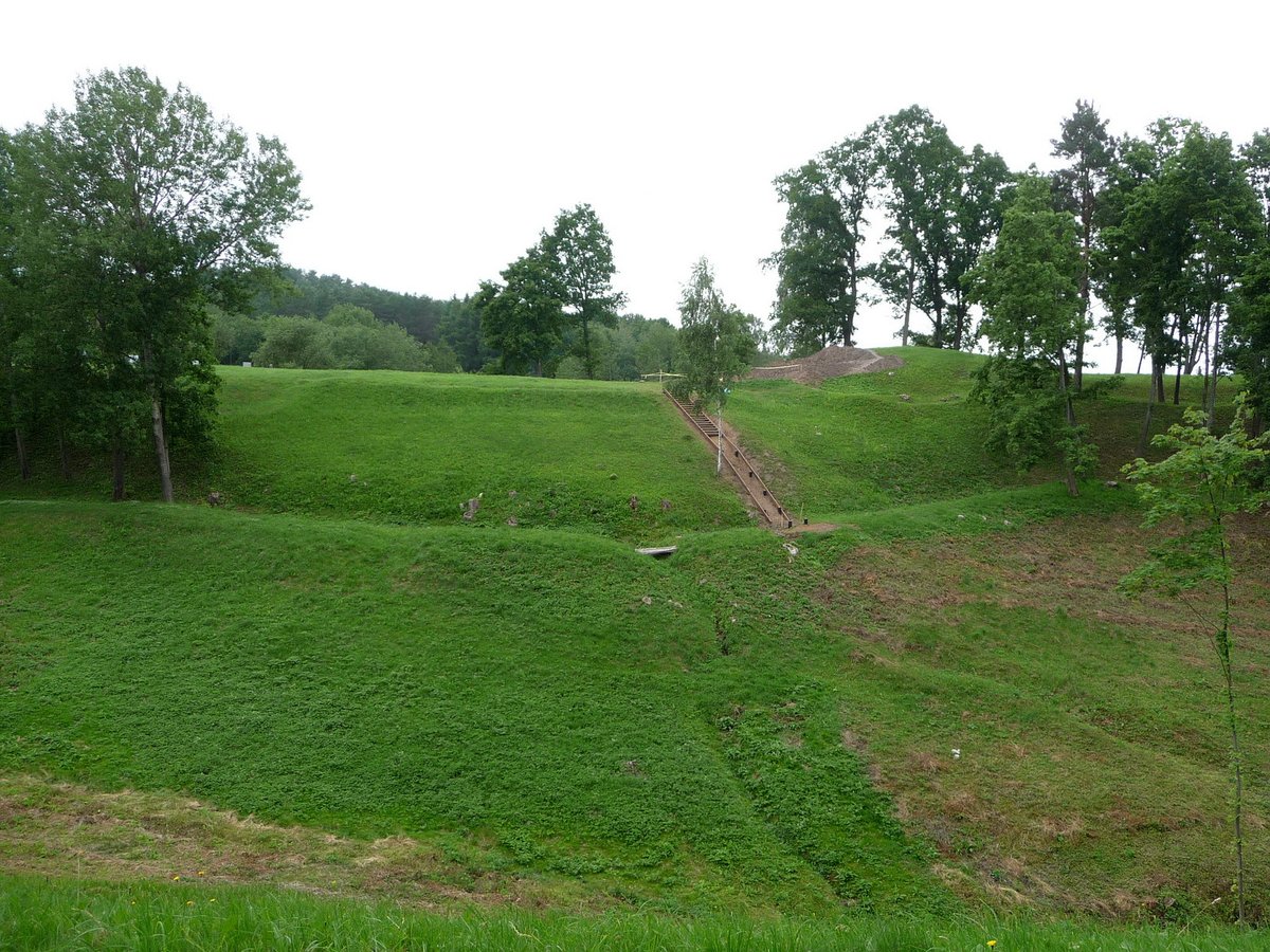
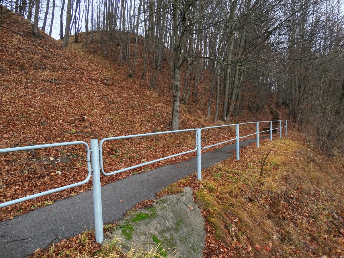
The hillfort occupies an irregular triangular area 50 metres long and 30 metres wide on its eastern side. Archaeologists have found polished ceramics in this area. On the eastern side, a rampart 35 metres long and 4 metres high rises from a 35-metre long, 15-metre wide, and 2-metre deep ditch. The slopes leading into the river valleys reach heights of 10 to 20 metres. The site is currently overgrown with shrubs, and the rampart and embankments are covered in brush.
To the north, east, and south of the hillfort lies a two-hectare settlement, which was excavated in 2001. This area yielded rough ceramics and a hearth. Another part of the settlement is located to the west of the hillfort on the grounds of a private plot. The cultural layer of the hillfort and settlement is quite thick. A nearby cemetery dating to the 1st millennium was also researched in 1984.
This site is dated to the middle of the 1st millennium and was officially recognized as a state-protected monument in 2005. The protected area covers 26,500 square metres. Within the hillfort, the burnt remains of Kimelio castle from the year 1295 are located.
Sources: Wikipedia, OpenStreetMap, Wikidata, Wikimedia Commons


Written by Nicolo Ciampini
Discuss this with the author and others
No comments yet. Be the first to start the conversation.