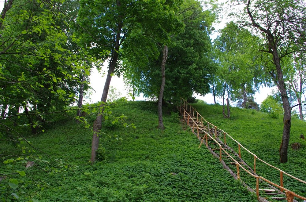

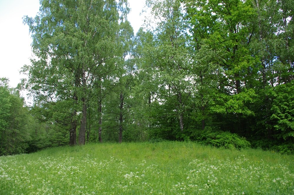
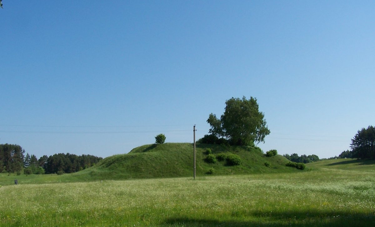
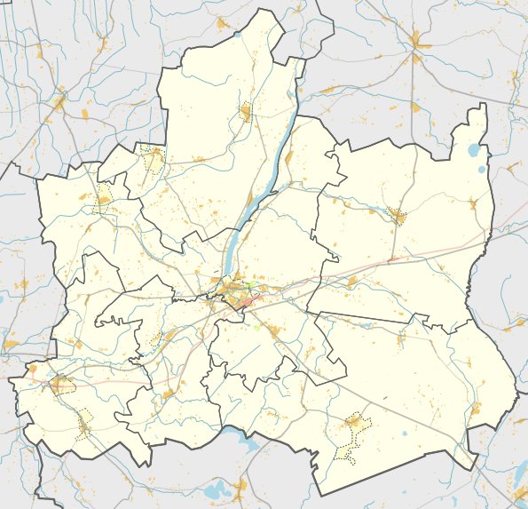
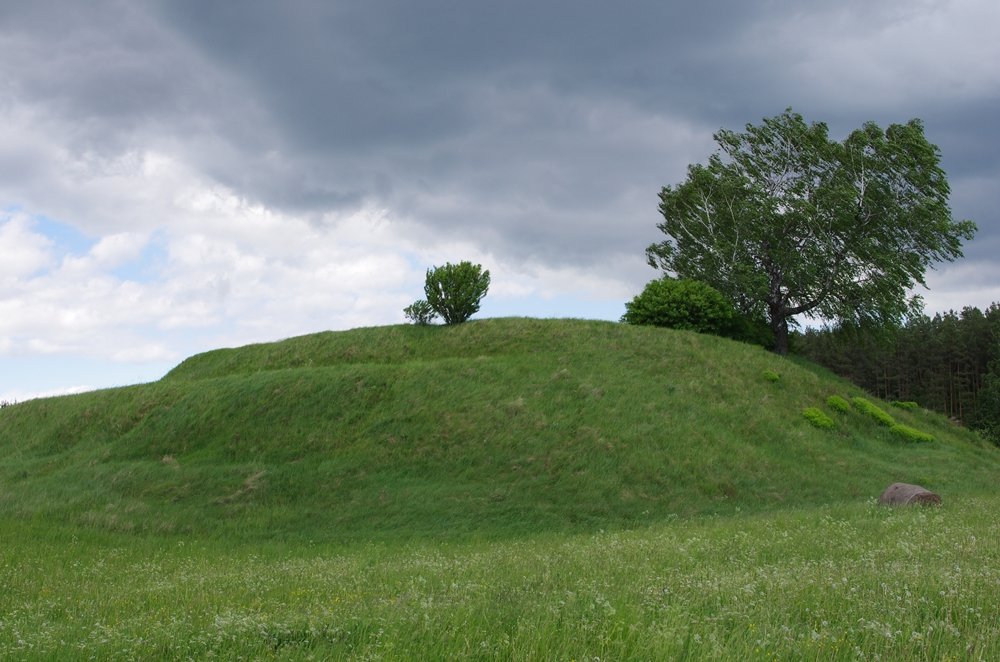
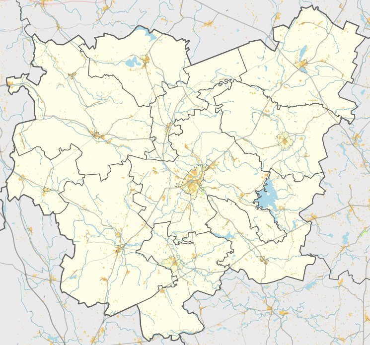
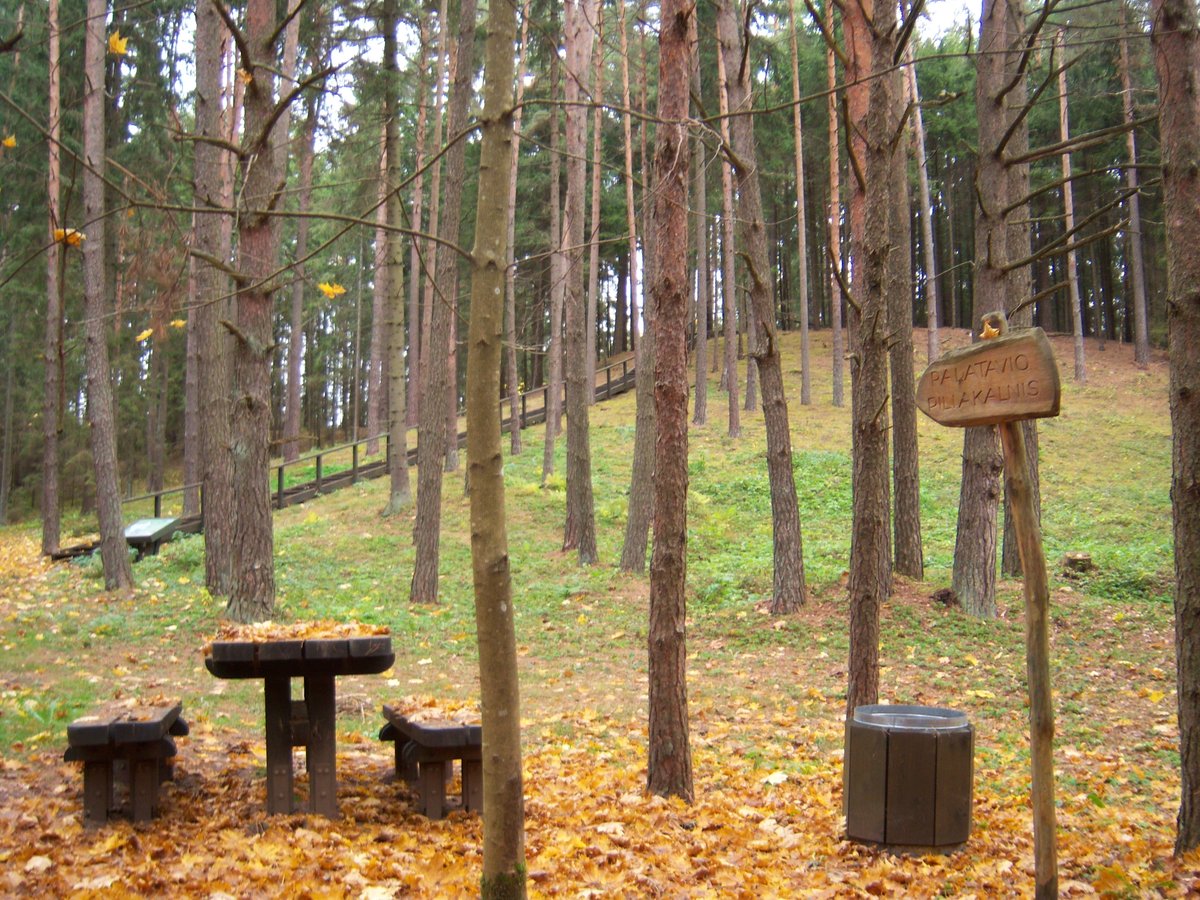
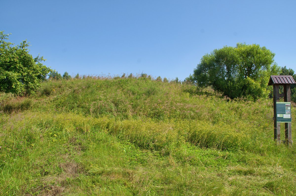
Stirniškiai Hillfort, also known as Skverbų or Palėvenės piliakalnis, is located in the village of Stirniškiai, Subačiai eldership, Kupiškis district. The site is situated to the right and north of the Daugpilis-Kupiškis-Panevėžys road, near the valley of the Pilpio stream. It sits at the confluence of the Lėvens and Pilpis rivers.
The fort features a rectangular clearing measuring 50x30 m, oriented east to west. Its eastern edge is defined by an embankment 36 m long and 1.5 m high, with an outer slope 2.7 m high descending into a 2.5 m deep ditch. This ditch is 4 m wide and 0.5 m deep in the northern slope. Further along the northern slope is another embankment 2.5 m high and 8 m wide, measuring 90 m long and 6 m wide. The southern side of the clearing has an embankment 1 m high and 5 m wide, while the slopes reach heights of 14 to 16 m.
Archaeological research on the site began in 1968 and 1969. Nearby, a settlement from the third to the fifth centuries is located on a 1.3 ha plot to the east and north, containing findings of both smooth and coarse ceramics. The site is dated from the first millennium to the beginning of the second millennium. It was officially recognized as a state-protected cultural monument in 2005.
Sources: Wikipedia, OpenStreetMap, Wikidata, Wikimedia Commons

Written by Nicolo Ciampini
Discuss this with the author and others
No comments yet. Be the first to start the conversation.