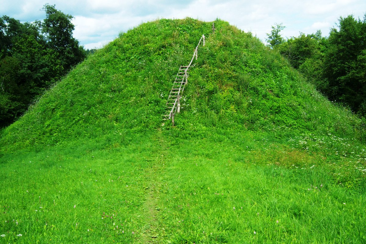

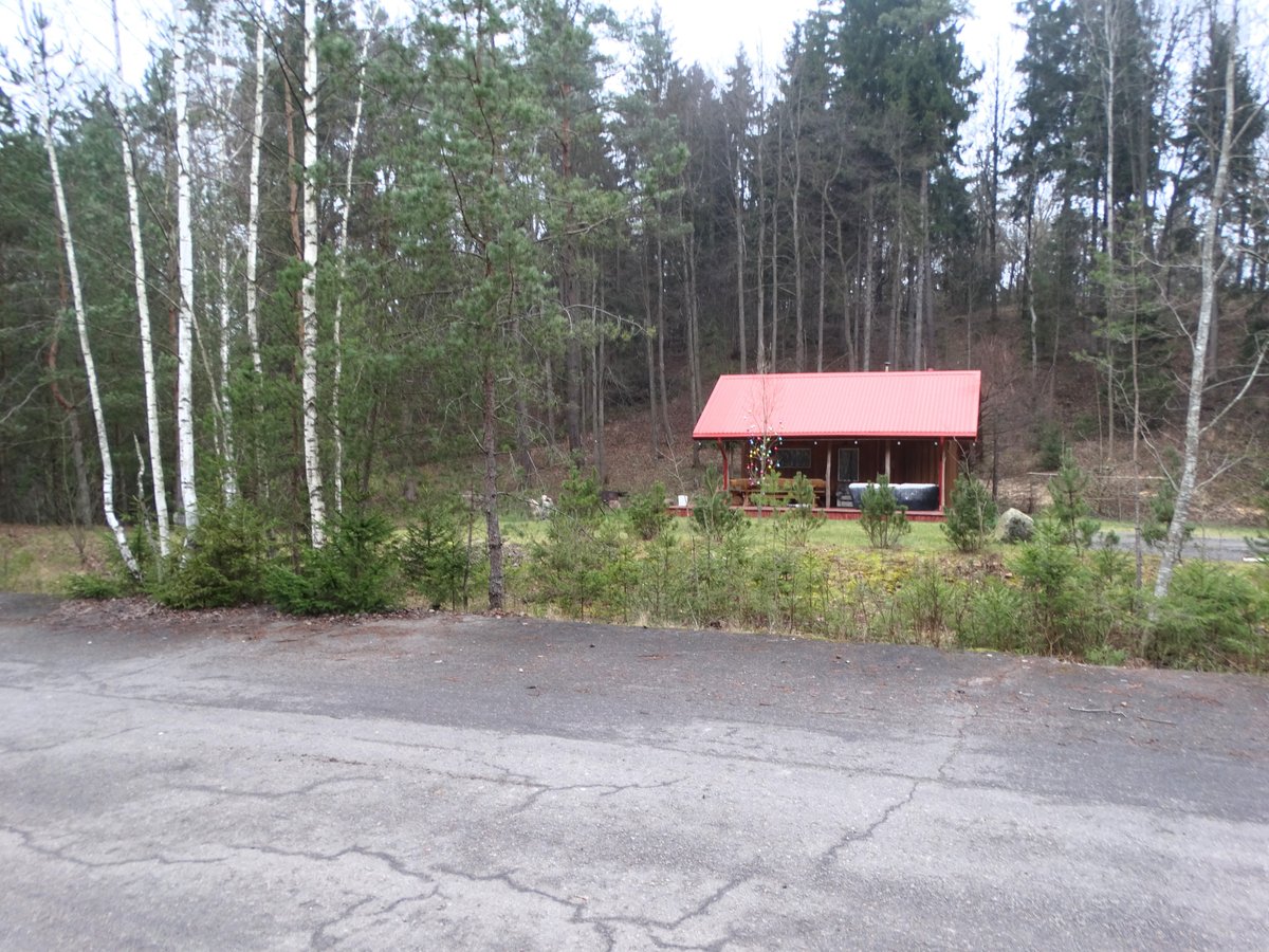
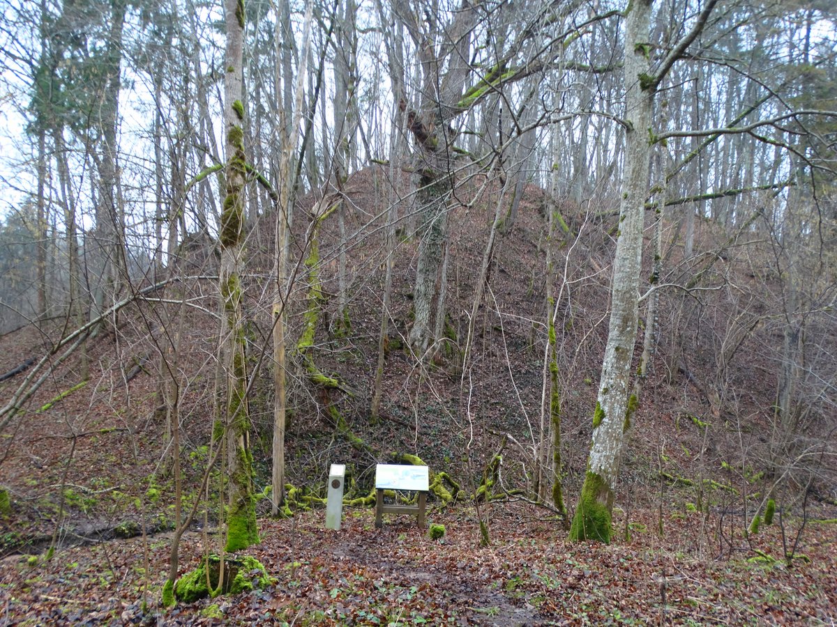
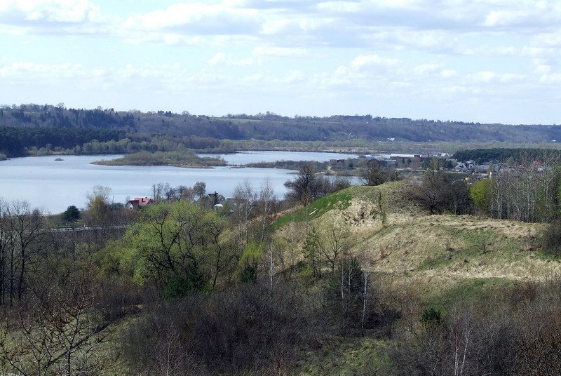
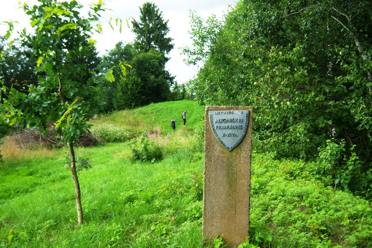
Located in the Kauno rajono savivaldybės, north of Pypliai in the Ringaudų seniūnija, sits the Pyplių piliakalnis. This archaeological site and hillfort is situated on a high terrace on the left bank of the Nemunas River. The site is accessible from the Kaunas-Zapyškis-Šakiai road, following a path through the forest and across fields to the north-east.
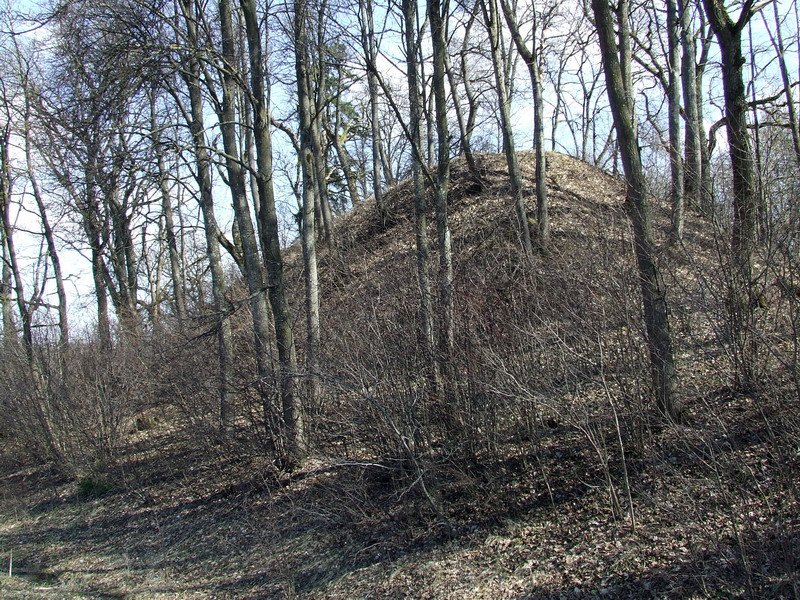
The hillfort features a rectangular plateau measuring 32x23.5 meters, oriented in a north-east to south-west direction. On its south-west edge stands a mound-shaped structure 6 meters high and 23 meters wide, which supports an 8-meter diameter plateau on top. Outside the mound, a ditch 17 meters wide and 1.5 meters deep has been excavated. The surrounding slopes reach heights of 20-30 meters, and the plateau is currently covered with grass.
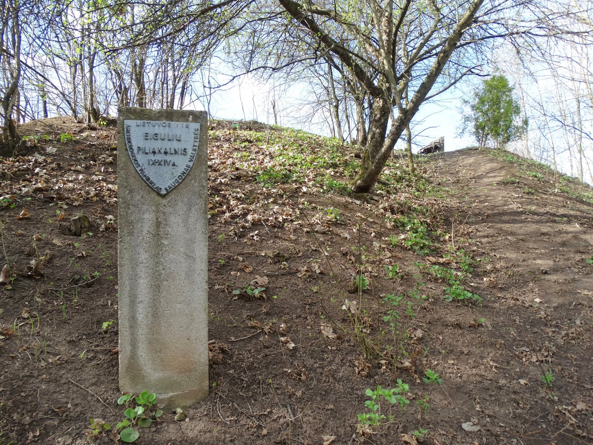
In the southern, eastern, and northern sections of the site, a settlement from the first millennium to the beginning of the second millennium covers an area of 1.5 hectares. Excavations in 1993 revealed a hearth, and various types of ceramics including flat and thick styles, along with ash. The site was officially recognized as a state-protected monument by a decree on 2005-04-29. During the winter months, the hillfort is a popular spot for sledding and snowmobiling.
Sources: Wikipedia, OpenStreetMap, Wikidata, Wikimedia Commons



Written by Nicolo Ciampini
Discuss this with the author and others
No comments yet. Be the first to start the conversation.