

For a few years, Huddinge commune has had a playground at the end of the lake as well. Called Långsjöparken, it plans to improve and give it a theme in line with 2010s ideas.
The pedestrian and bicycle path passes by the play area and then across a plot of land that once belonged to the Huddinge vicarage, Tomtberga.
It was a narrow plot, from the church to Långsjön, and on a map from 1813 it can be seen that there was a Five Stones Marker near the lake. It served to mark that here, land was owned by three different landlords, Långbro, Stufvsta, and Huddinge Vicarage. There are still two mounds of stones just there, but whether they are remains of the Five Stones Marker is still to be determined.
To the left of the pedestrian and bicycle path, the land is developed, but to the right a piece of vicarage land has been preserved unbuilt. It is an intriguing piece of land that can trigger the imagination. One can see stones from a relatively large house foundation. The house is on the map from 1813 and was then called Marieberg, but the foundation may be very old and maybe there was a road diagonally across the lake?
There are traces of an up and down hill to the lake. One can imagine that it was used even during the time of the Gota Land Road, when road travelers chose to take the winter road across the ice instead of the steep hill at Korkskruven (Långsjöpasset). One can also wonder if it was used during the summer. Was there a boat/raft aboard, which was drawn with ropes back and forth across the lake???
The boarding station on the Stockholm side must have been approximately where Svartlösavägen ends and one was therefore forced to take oneself 'sneak over the lake'. Think if it gave rise to the unique name Snättringe?!? In an old map, the lake is called Snettingen.
The new settlers of Snättring have reported that when they started getting their house materials delivered via train to Älvsjö station in the beginning of 1920s, one could choose to order it in winter and take the way over the ice instead of downhill at Korkskruven. (Before Häradsvägen existed)
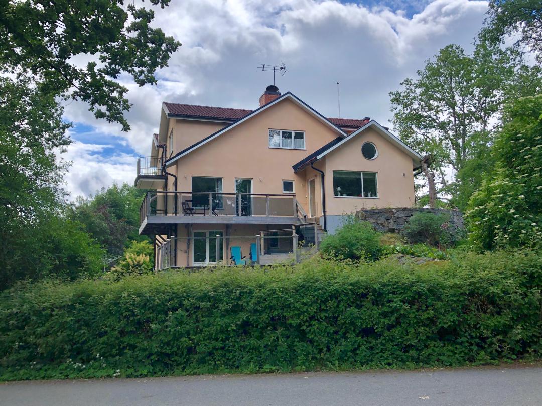
One of the builders on the parish farm land, now at Bad Street 6, was T A Ljungberg, the inventor of the TAL-meter. The short Bad Street leads from the lake to Snättring Road.
Vårt nästa stopp - Talmeters födelseplats https://reveal.world/story/talmeters-foedelseplats
Källa: Snättringe Fastighetsägare Förening https://snattringe.com/foreningen/langsjorundan/



Written by Alexa
Discuss this with the author and others
No comments yet. Be the first to start the conversation.