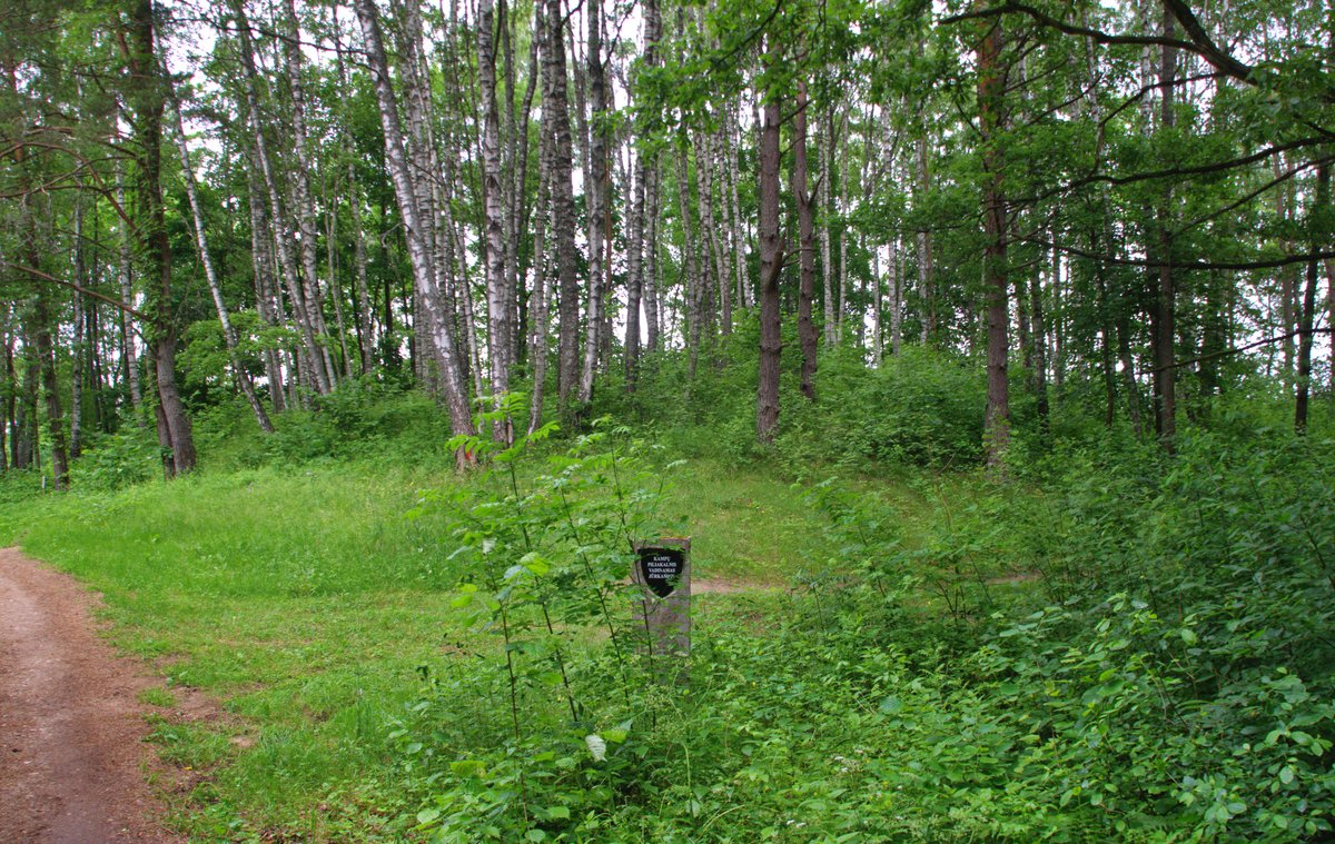

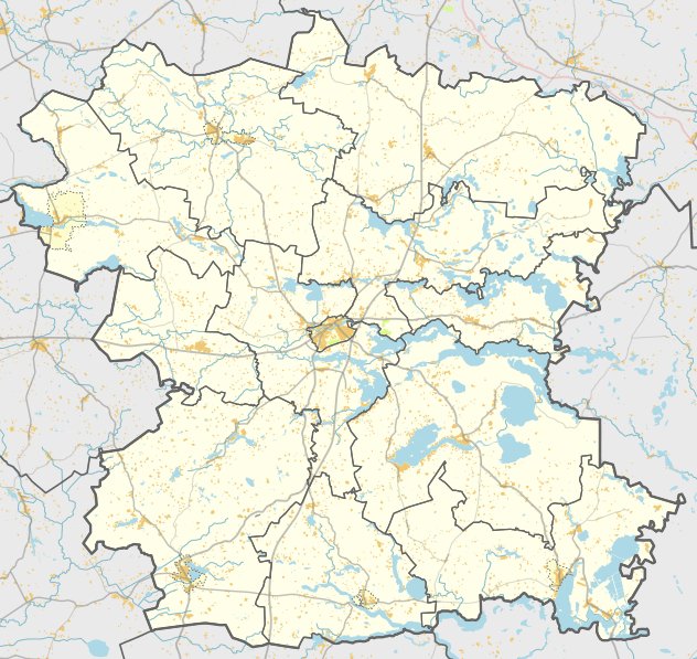
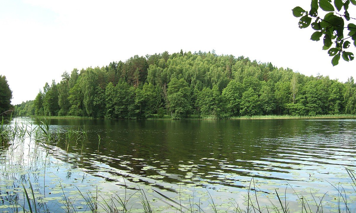
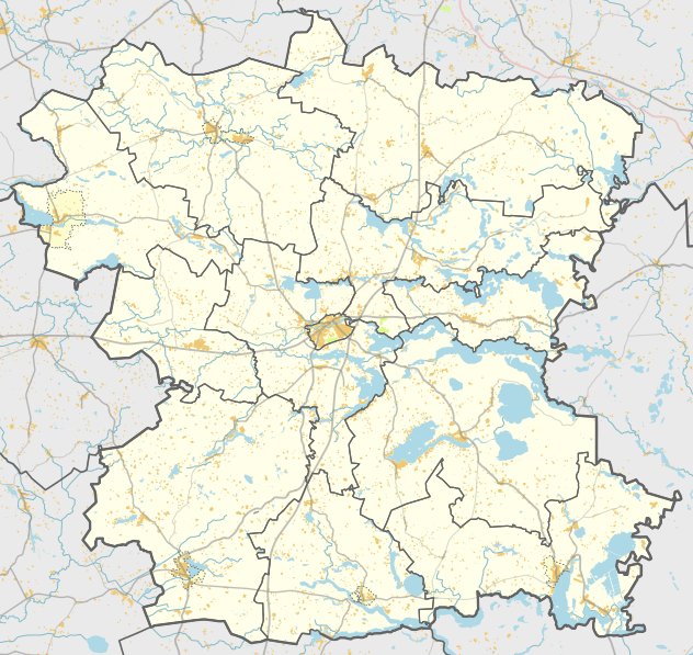
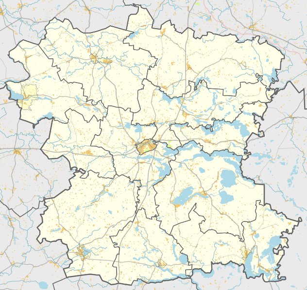
Kampų piliakalnis, also known as Jūrkampis, is a hillfort situated on the southern shore of Lake Dūrių in the Čiulėnų eldership. It is located in a separate hill and can be reached from the old road between Molėtai and Utena by turning left towards the northwest and following the path past the forest.
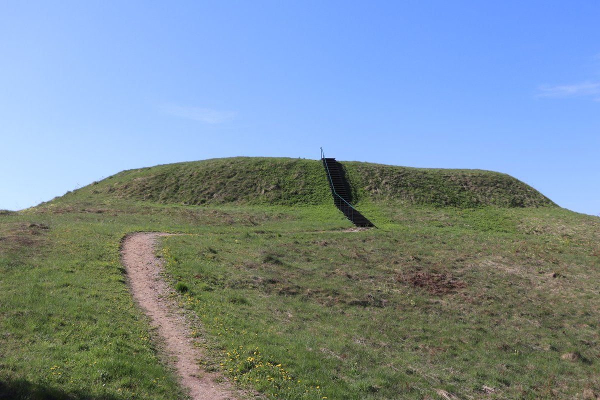
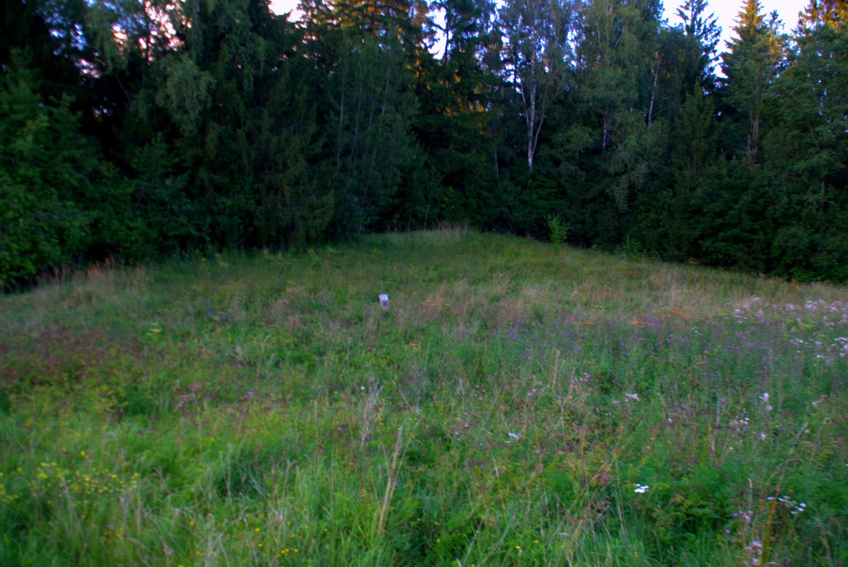
The clearing at the top of the hillfort is circular and 25 meters in diameter, rising by 1 meter in its southwestern part. The surrounding slopes reach an average height of 6 to 6.5 meters. The site is heavily eroded by the elements, with sand excavated in the western slope, and the area is covered with birches.
Research conducted by the Institute of History in 1970 and the Scientific Methodical Council in 1978 investigated the site. During these studies, no remains of fortifications or cultural layers were observed. The hillfort is dated to the second half of the first millennium BC and the beginning of the first millennium BC.
Sources: Wikipedia, OpenStreetMap, Wikidata, Wikimedia Commons
Written by Nicolo Ciampini
Discuss this with the author and others
No comments yet. Be the first to start the conversation.