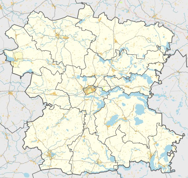

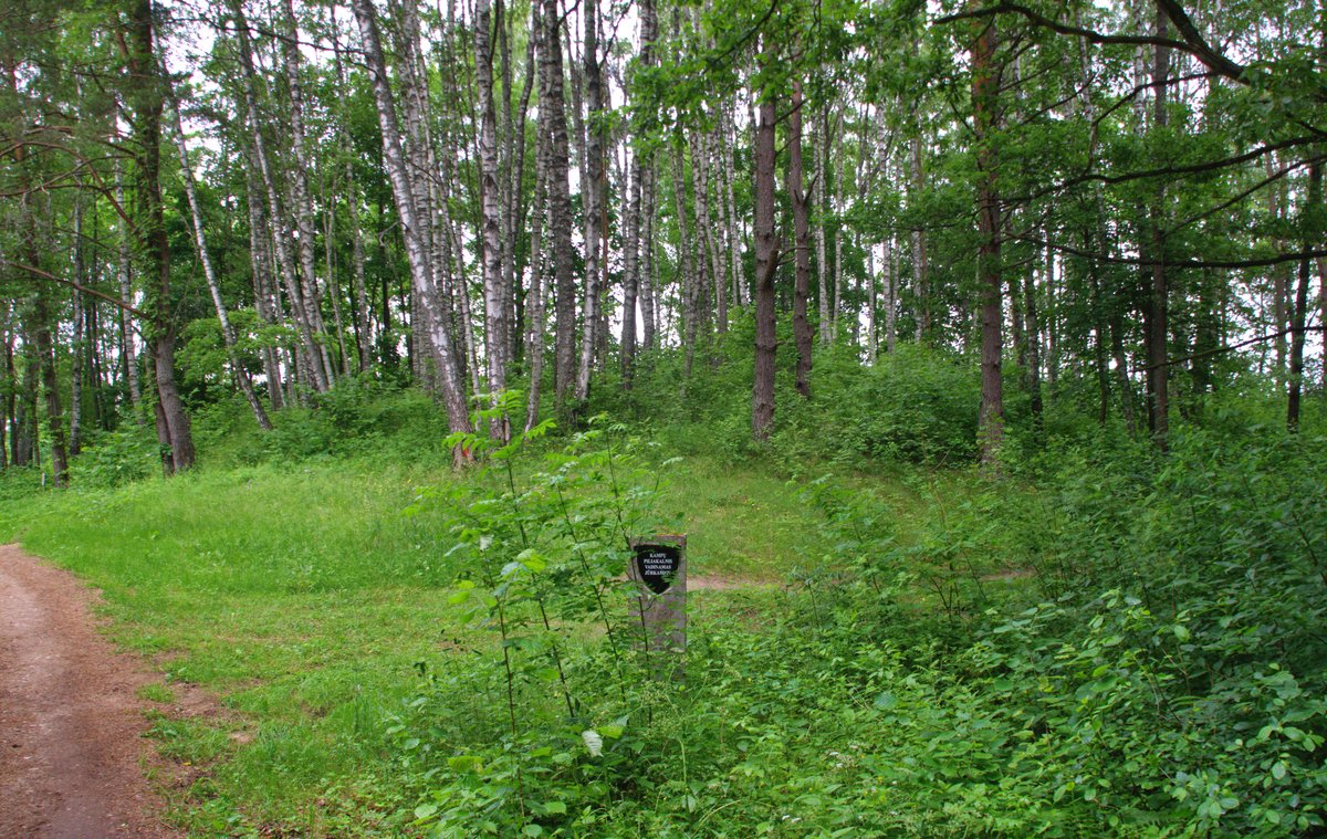
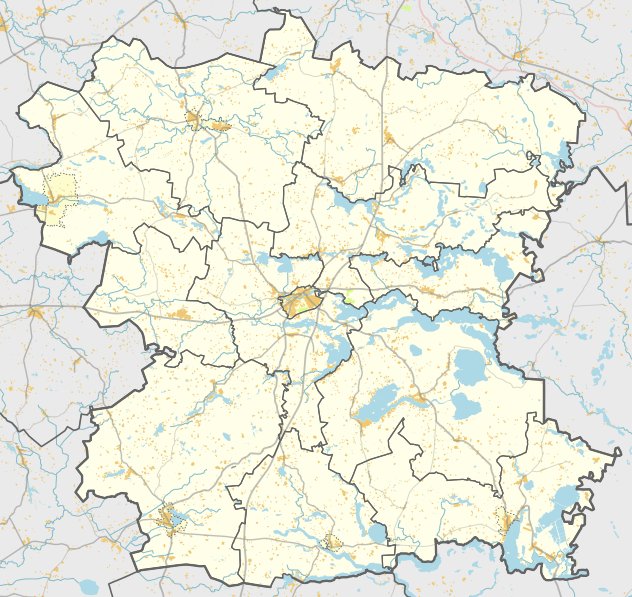
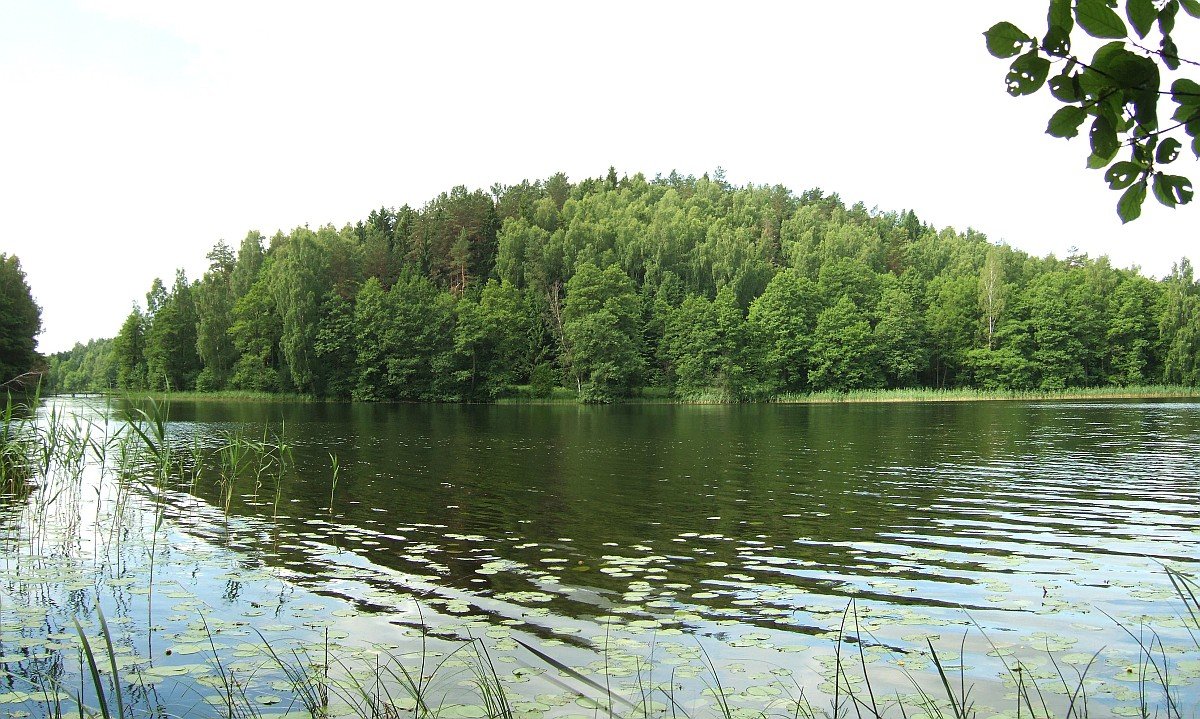
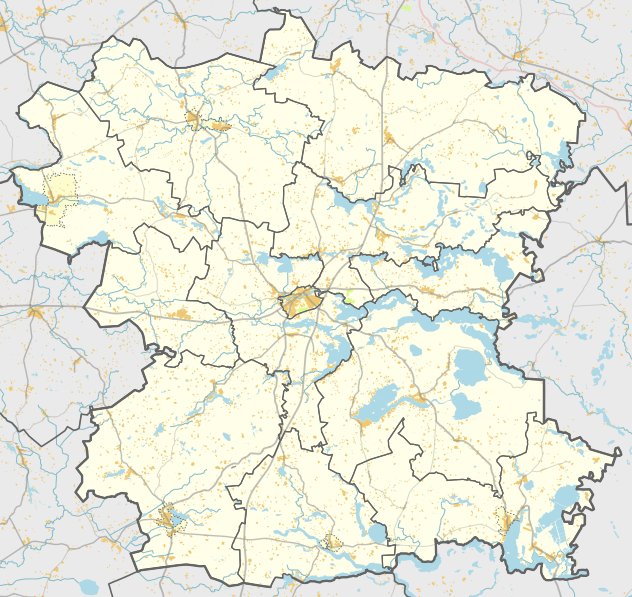
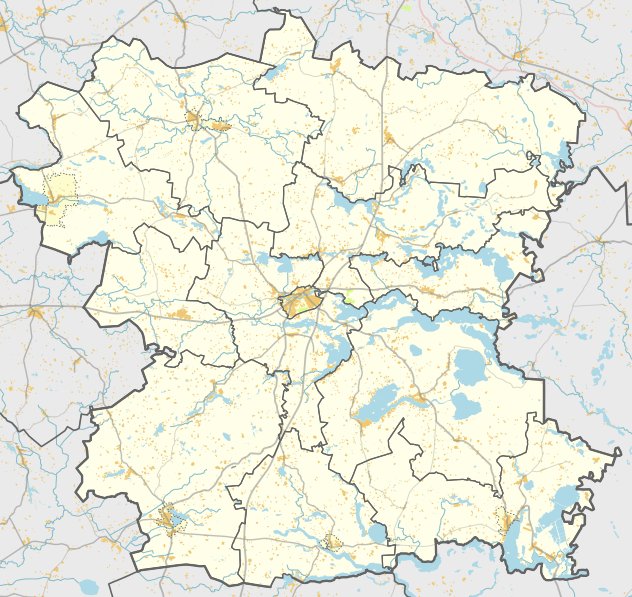
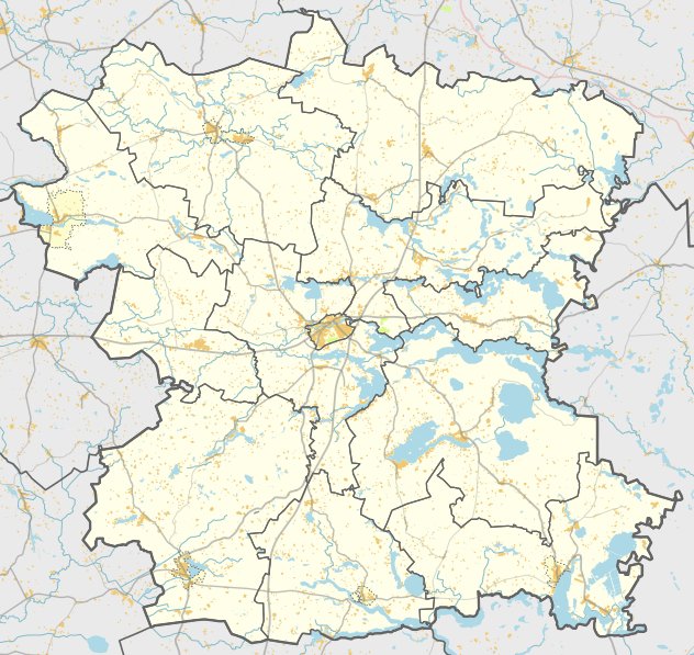
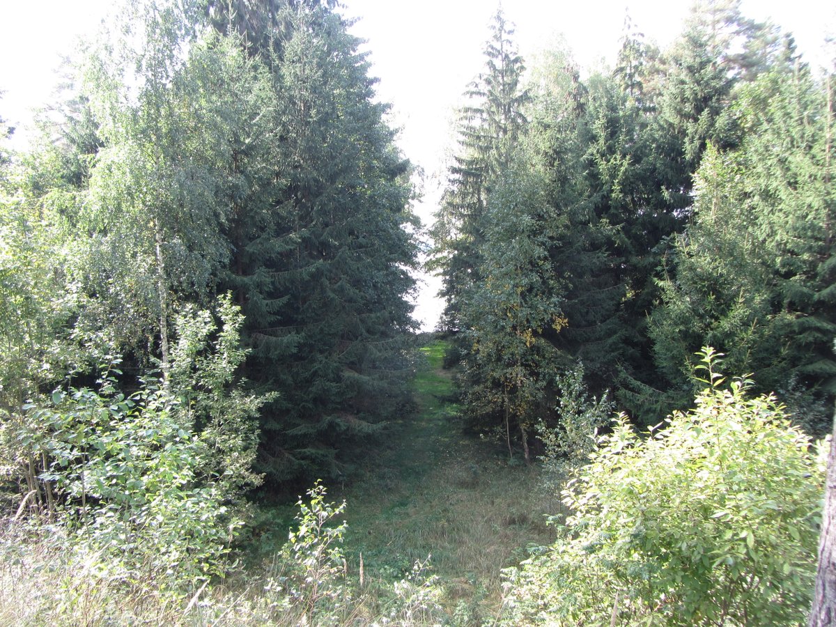
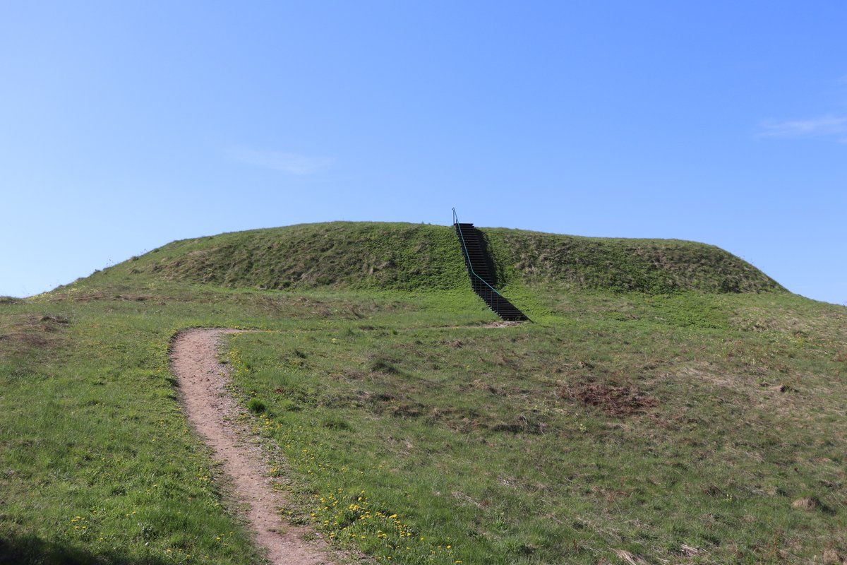
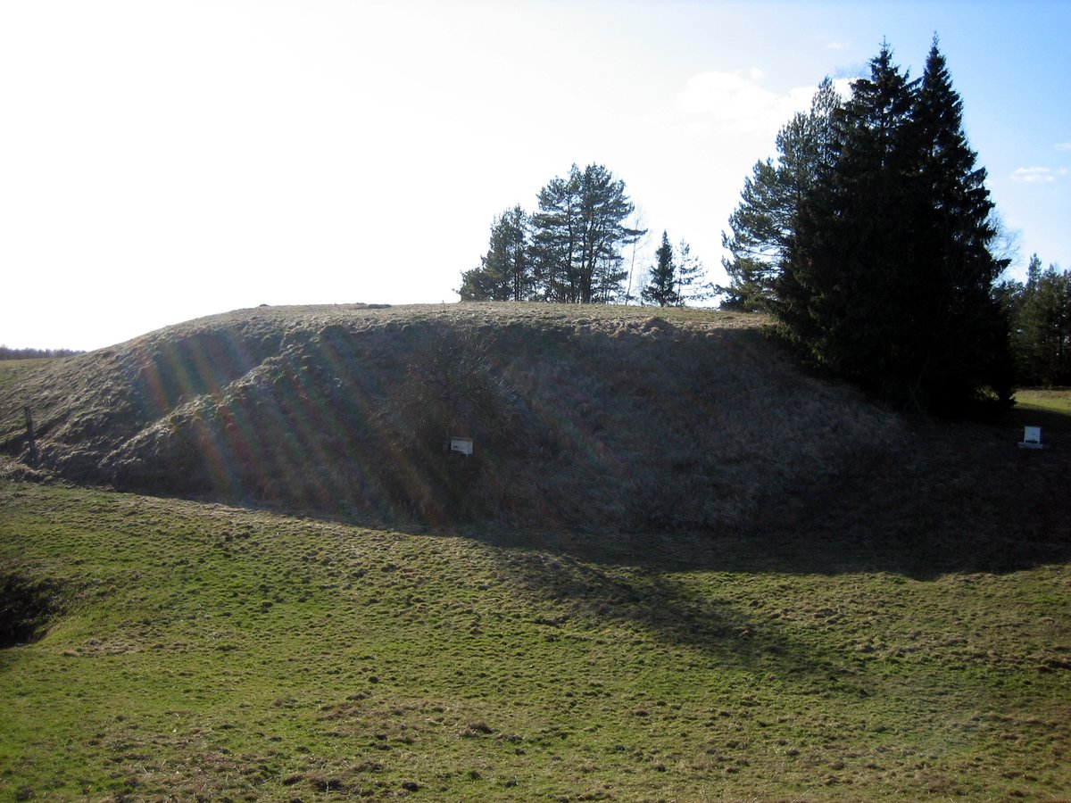
Malkėsto piliakalnis, also known as Janiškis, is a hill-fort and settlement located in the Molėtų rajono savivaldybės teritorijoje, to the east of Malkėsto. The site is situated on a peninsula on the southern shore of the lake, specifically at the northern end of a former island. The clearing is a rectangular area measuring 27 by 17 metres, oriented from south to north.
The site features slopes that reach a height of 3 metres. The western, northern, and eastern slopes have been washed away by the lake water, while the southern slope has collapsed. The hill-fort currently remains as a dirt-covered area. It is located 180 metres northeast of a homestead, accessible via a path from the road between Vilnius and Utena.
Archaeological investigations conducted in 1970 and 1978 found no remains of external fortifications. The site is dated to the middle of the first millennium BC to the beginning of the first millennium BC. Among the findings in the clearing is a stone axe head with a hole for a handle, providing a tangible link to the people who inhabited this historical settlement.
Sources: Wikipedia, OpenStreetMap, Wikidata, Wikimedia Commons
Written by Nicolo Ciampini
Discuss this with the author and others
No comments yet. Be the first to start the conversation.