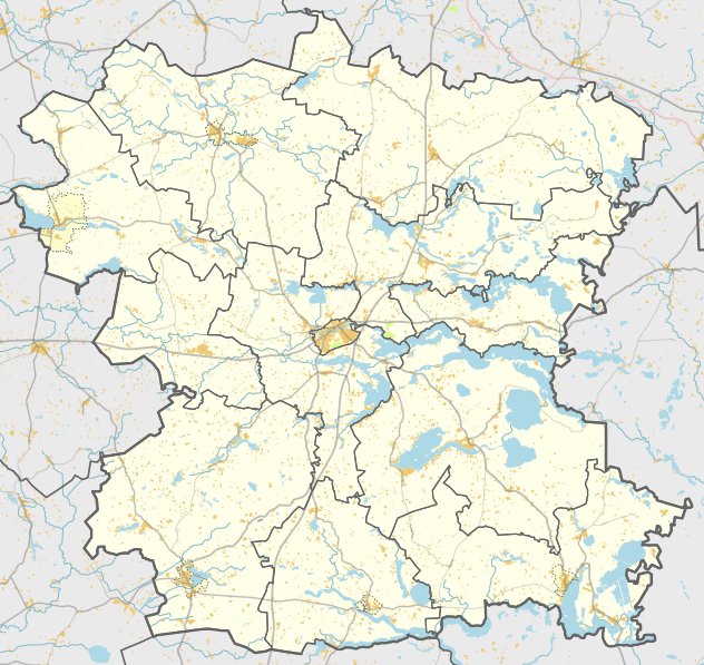

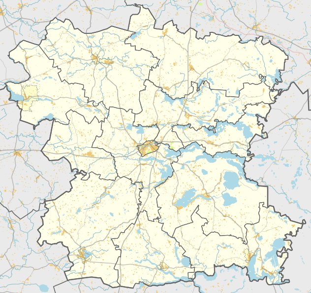
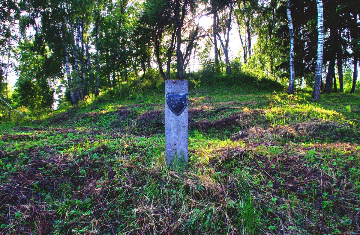
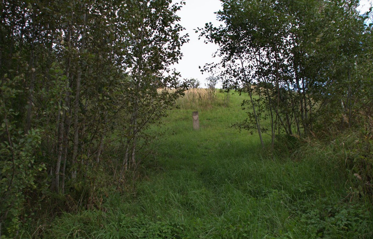
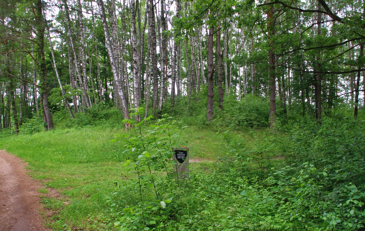
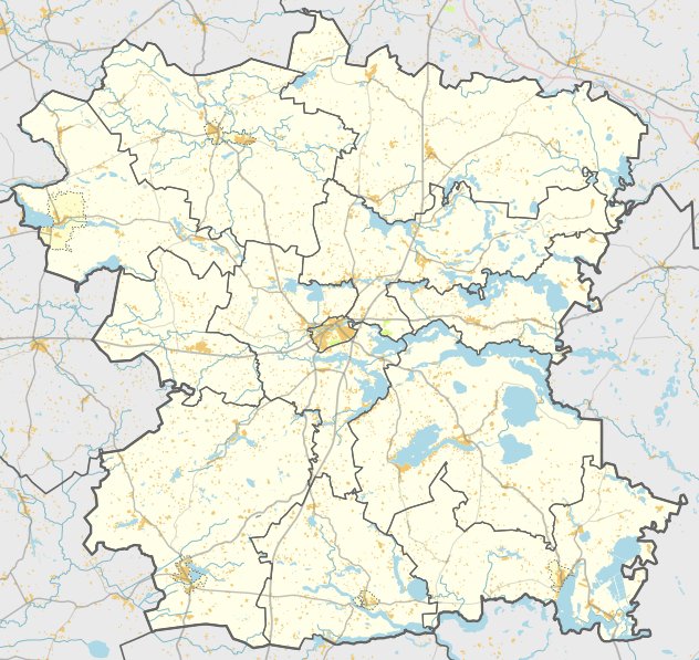
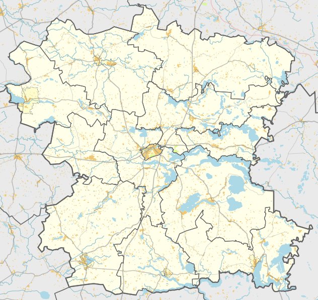
Located in the village of Padvario within the Giedraičių eldership of the Molėtai district, Pazadvorijos piliakalnis su gyvenviete is a significant archaeological site. Known by the names Padvarys and Zomkus - piliakalnis ir gyvenvietė, the site is situated on the left bank of the Grabuostos river. It is accessible from the Ambražiškiai - Šešuoliai road, located about 430 meters east of the homesteads near the Padvario pond.
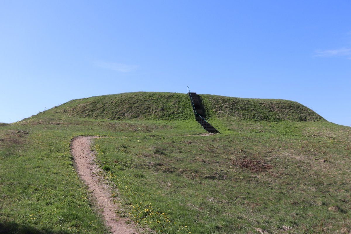
The hillfort features a rectangular clearing measuring 41x29 meters. On its southwest edge sits a 20-meter-long, 2-meter-high, and 16-meter-wide embankment. The outer slope of this embankment descends into a 40-meter-long, 15-meter-wide, and 2-meter-deep ditch. The slopes of the fortification reach heights of up to 11 meters, while the northeast slope shows signs of erosion. The site is surrounded by mixed forest.
In the northern part of the site, a settlement occupies an area of 0.3 hectares. The hillfort was surveyed by the Institute of History in 1970 and by the Scientific Methodical Board in 1978. Dated to the first millennium through the beginning of the second millennium, it was officially declared a cultural heritage site on May 19, 1998. The protected area covers 1.46 hectares.
Sources: Wikipedia, OpenStreetMap, Wikidata, Wikimedia Commons
Written by Nicolo Ciampini
Discuss this with the author and others
No comments yet. Be the first to start the conversation.