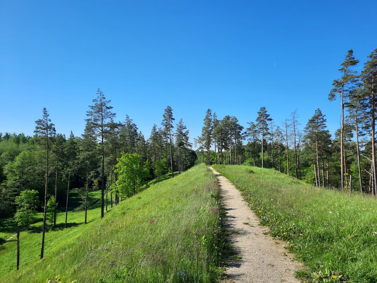

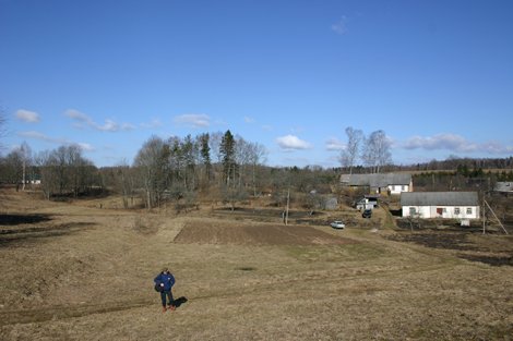
The Kačėniškės hillfort is located on a separate long hill on the western shore of Lake Mergežerio. The site features a rectangular plateau measuring 66 by 10 metres, oriented north-south. This area was fortified with ditches and ramparts constructed into the slopes. On the northern slope, 2 metres below the edge of the plateau, a ditch was excavated that is 1.5 metres wide and 0.2 metres deep, followed by a rampart 0.3 metres high and 3 metres wide. A second ditch, 10 metres wide and 0.5 metres deep, was also dug beyond this rampart.
In the western slope, the first ditch and rampart formed an 8 metre wide terrace, while a second ditch was 9 metres wide and 0.3 metres deep. The western slope itself was built 3 metres below the plateau. A further terrace, 2 metres wide, sits 5 metres below the plateau level, connecting the first ditch and rampart in the northern and western slopes. The side slopes reach heights of 22-23 metres, while the end slopes are of medium height, measuring 5-6 metres.
The hillfort is surrounded by stones, and the eastern part of the plateau has slipped into the lake. A thin mixed forest now grows over the site. Nearby, on a 0.5 hectare plot at the southeastern foot of the hill, lies a settlement.
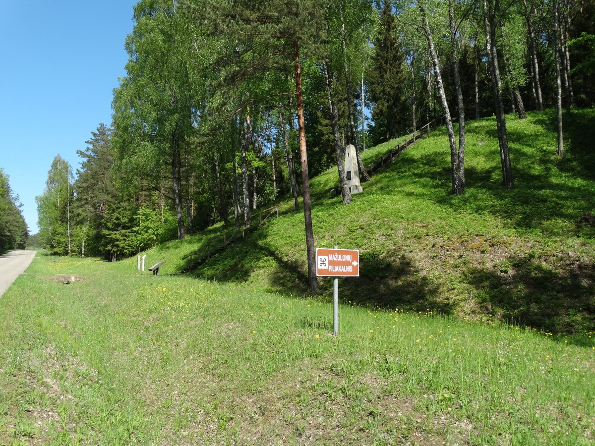
Visitors can follow an educational trail that begins at an information board in the village of Garnių. This path leads through the archaeological site toward the hillfort and the lake. The site dates from the end of the 1st millennium BC to the 1st millennium AD.
Sources: Wikipedia, OpenStreetMap, Wikidata, Wikimedia Commons

Written by Nicolo Ciampini
Discuss this with the author and others
No comments yet. Be the first to start the conversation.