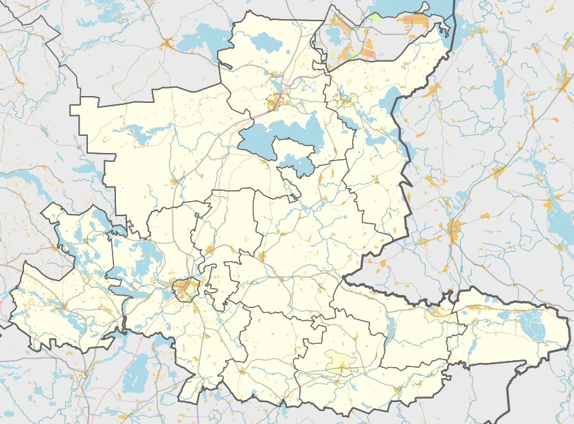
Strakšiškės pillukai, located in the Ropiakalnis region, Ceikinių seniūnija, in the Kaime district, is a unique cultural heritage object with MC code 16491. Registered until 1988, the protected area covers 25 000 m². The hill's stone wall can reach up to 15 meters high. The upper part of the stone wall, about 2-3 meters wide, has an oval opening, roughly 26 meters by 15 meters. The first stone terrace, 2-3 meters below the upper part of the stone wall, is 5 meters wide.
The upper part of the first stone terrace is 2-3 meters below ground level. The second stone terrace, 1.3-2 meters below the first, is 1.5-2 meters below ground level. On the south-western part of the hill, about 150 meters away from the western edge, there are several stone trenches. One of the stone trenches, located 1 meter below the upper part of the wall of the hill, is 1.4 x 1.2 meters in size and 0.6 meters deep. The hill was registered by the Scientific Research Team in 1988. The data suggests that Strakšiškės pillukai dates back to the Iron Age.
Sources: Wikipedia, OpenStreetMap, Wikidata, Wikimedia Commons
Written by Nicolo Ciampini
Discuss this with the author and others
No comments yet. Be the first to start the conversation.