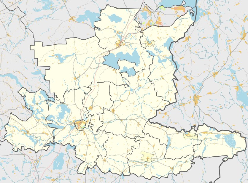

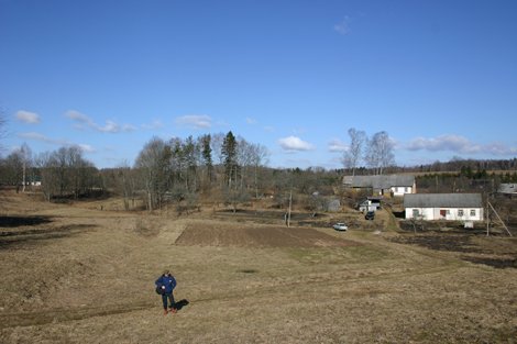
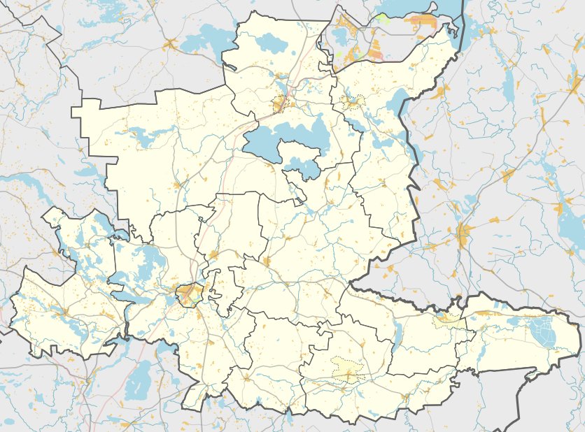
Follow the road from Ceikiniai to Mielagėnai Čebatoriuos and turn left toward Dalgėdų. In the northern part of Jakaviškiai, turn right toward the northeast. After 150 meters, you will find the site on the left, descending into the backyard without reaching the homestead.
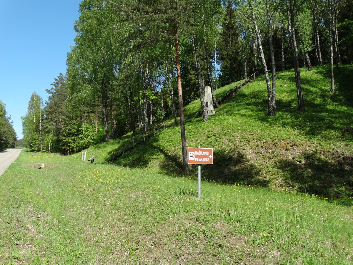
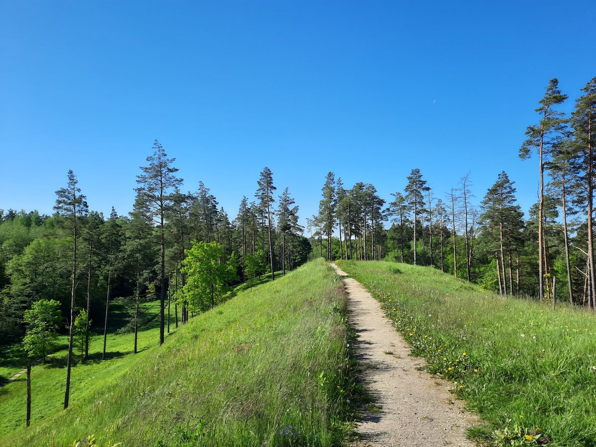
The hillfort is situated on a separate hill with a trapezoidal clearing. It measures 50 meters long in an east-west direction, with 25 meters wide on the eastern side and 15 meters wide on the western side. The slopes rise to a height of 9 meters. On the northern slope, broken ceramics were found. While the hillfort is currently covered in grass, trees grow on the south-southwest slope.
At the foot of the southern, western, and northwest slopes lies a settlement on a 0.2-hectare plot. The hillfort dates back to the first half of the 1st millennium. It was surveyed in 1988 and recognized as a state-protected monument by order Nr. ĮV-190 in 2005. The monument territory covers 14,000 square meters.
Sources: Wikipedia, OpenStreetMap, Wikidata, Wikimedia Commons


Written by Nicolo Ciampini
Discuss this with the author and others
No comments yet. Be the first to start the conversation.