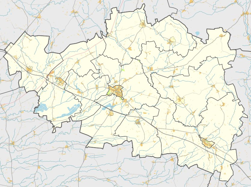

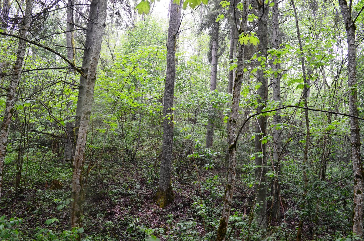
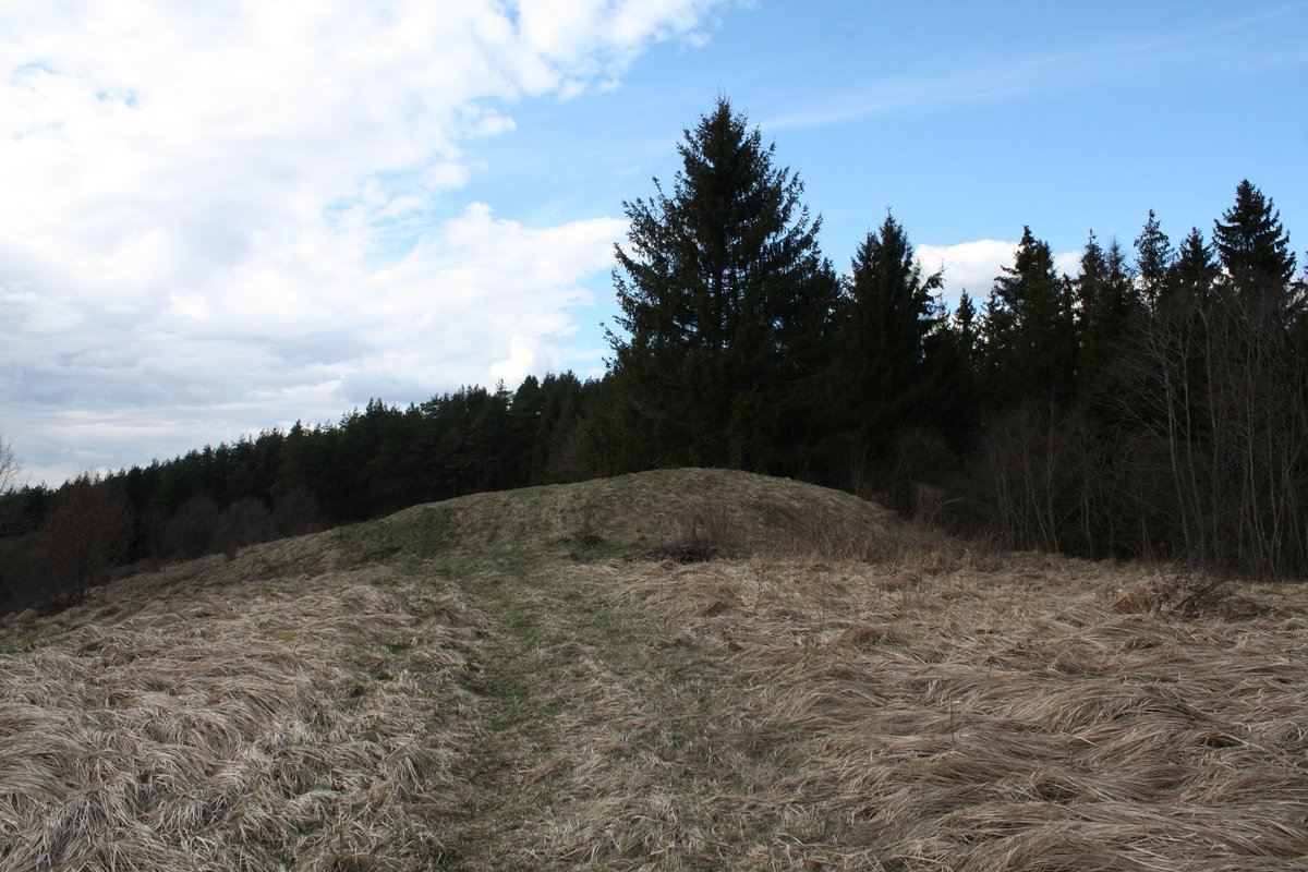
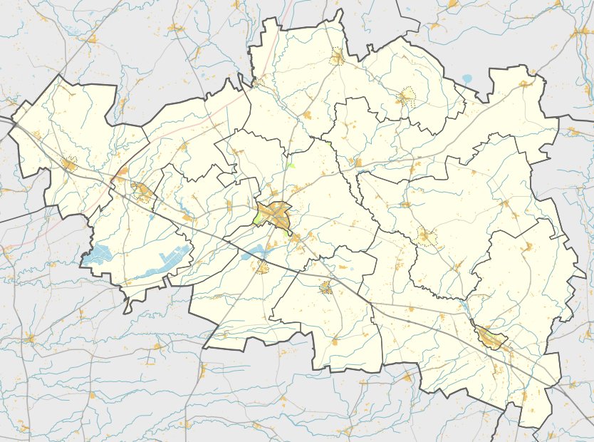
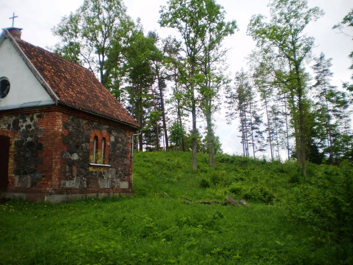
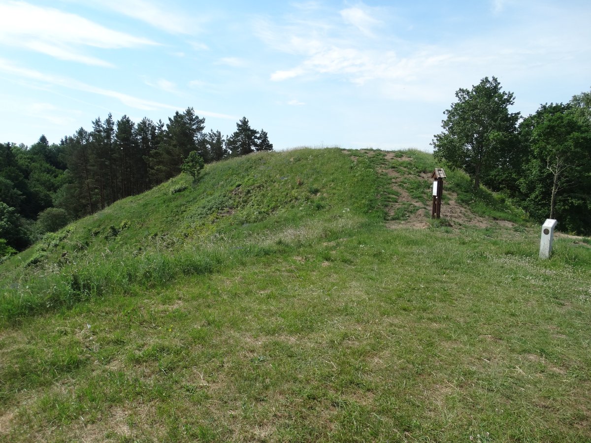
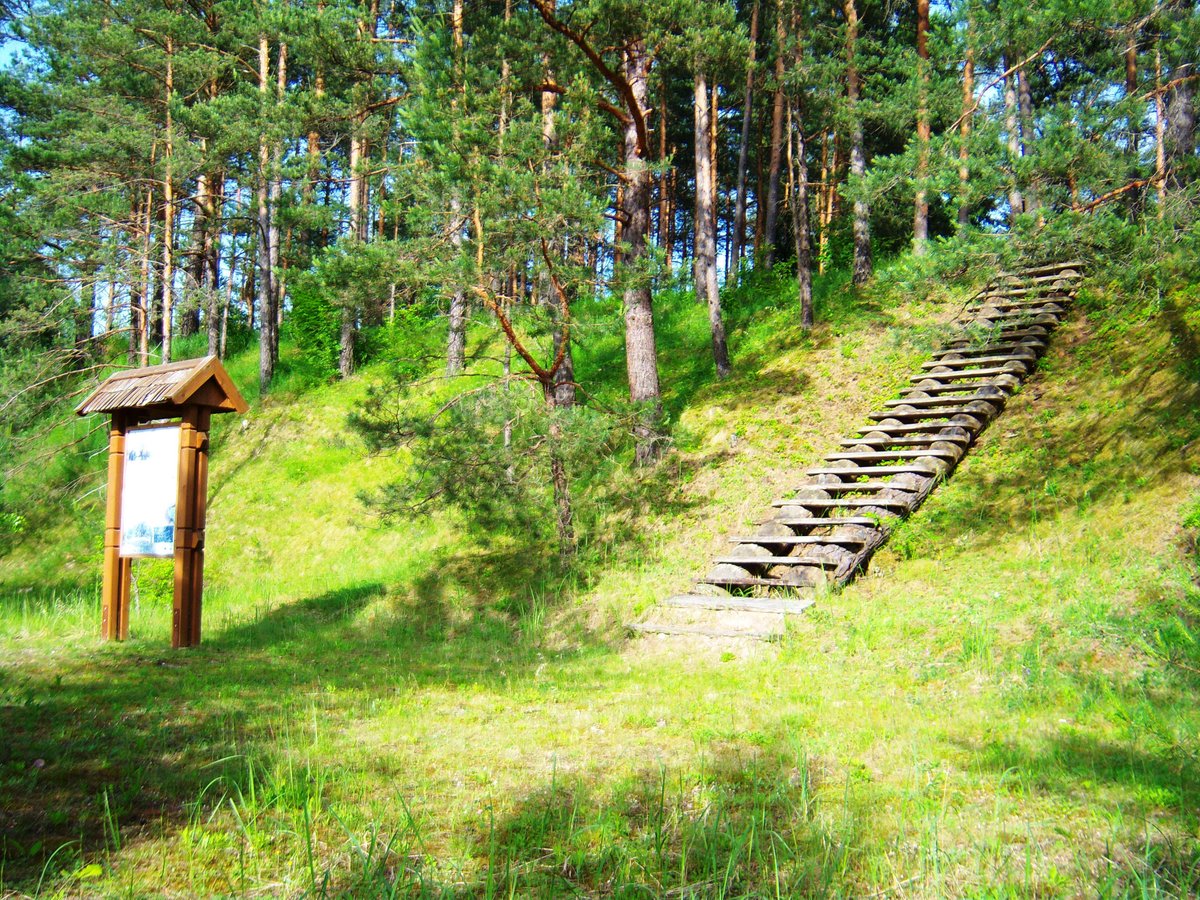
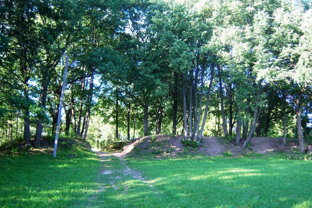
The archaeological site known as Darbutų I piliakalnis, also called Bielskio kalnas or Darbutų kalnas, is located in the Raseiniai district near the village of Darbutai. It is situated at the confluence of the Dubysa and Kirkšnovė rivers, accessible via the Ariogala - Betygala road. The hillfort features a square courtyard with sides measuring about 45 and 58 meters long. The slopes rise about 20 meters high, and parts of the site were damaged in the 19th century.
The site contains complex earthworks, including a 16-meter wide ramp with a 6-meter high outer slope leading to a 1-meter deep ditch. On the northern slope, 7 meters below the courtyard, lies a 3-meter wide terrace. This terrace transitions 4 meters lower into a 7-meter wide, 0.3-meter deep ditch, followed by another 0.5-meter high ramp sloping downwards to the west. The site was declared a cultural monument by a Government of the Republic of Lithuania decree in 1998.
Archaeological research has uncovered a rich history at the site. In 1886, Tadas Daugirdas excavated a stone floor, finding a bronze ring, the top of an iron axe, ceramics, and animal bones. In 1911, Liudvikas Kšivickis explored an 833-square-meter area, uncovering a cultural layer between 0.1 and 0.2 meters thick. His findings included remains of fortifications, stone floors, hearths, and artifacts from the 12th to 14th centuries, such as iron and bronze items (axes, spearheads, keys, and buckles) and gray ceramics. The museum of the Grand Duchy of Lithuania preserves the findings.
Sources: Wikipedia, OpenStreetMap, Wikidata, Wikimedia Commons

Written by Nicolo Ciampini
Discuss this with the author and others
No comments yet. Be the first to start the conversation.