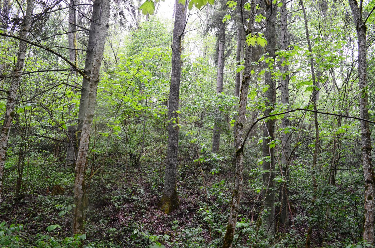

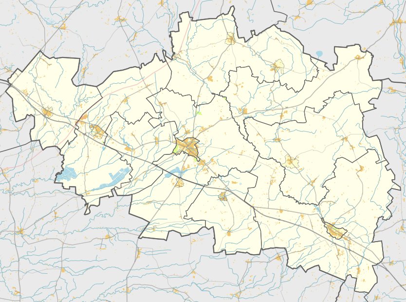
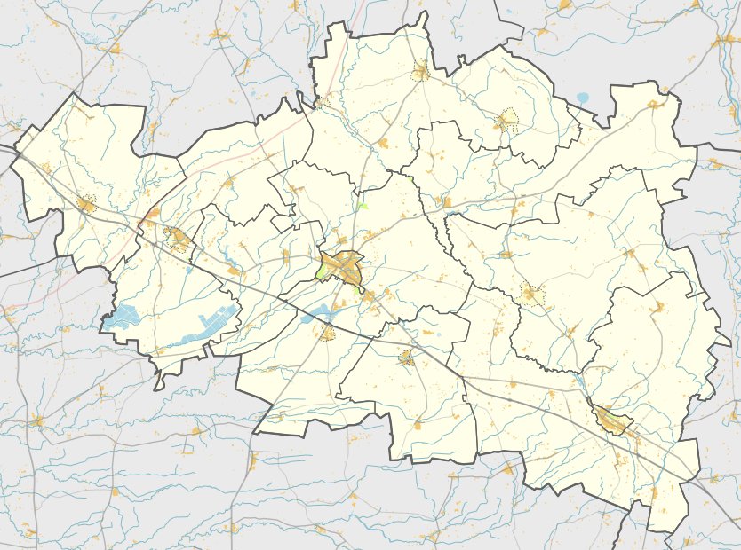
Darbutų II piliakalnis is a hillfort situated in the Raseiniai district municipality, south of the village of Darbutai in the Betygala eldership. It is located in the Dubysos regional park, approximately 400 m northwest of the first Darbutai hillfort. The site can be reached by taking the Ariogala - Betygala road, turning onto the Dubysos slope, and following a gravel path for 100 m before turning 30 m to the right into the forest.
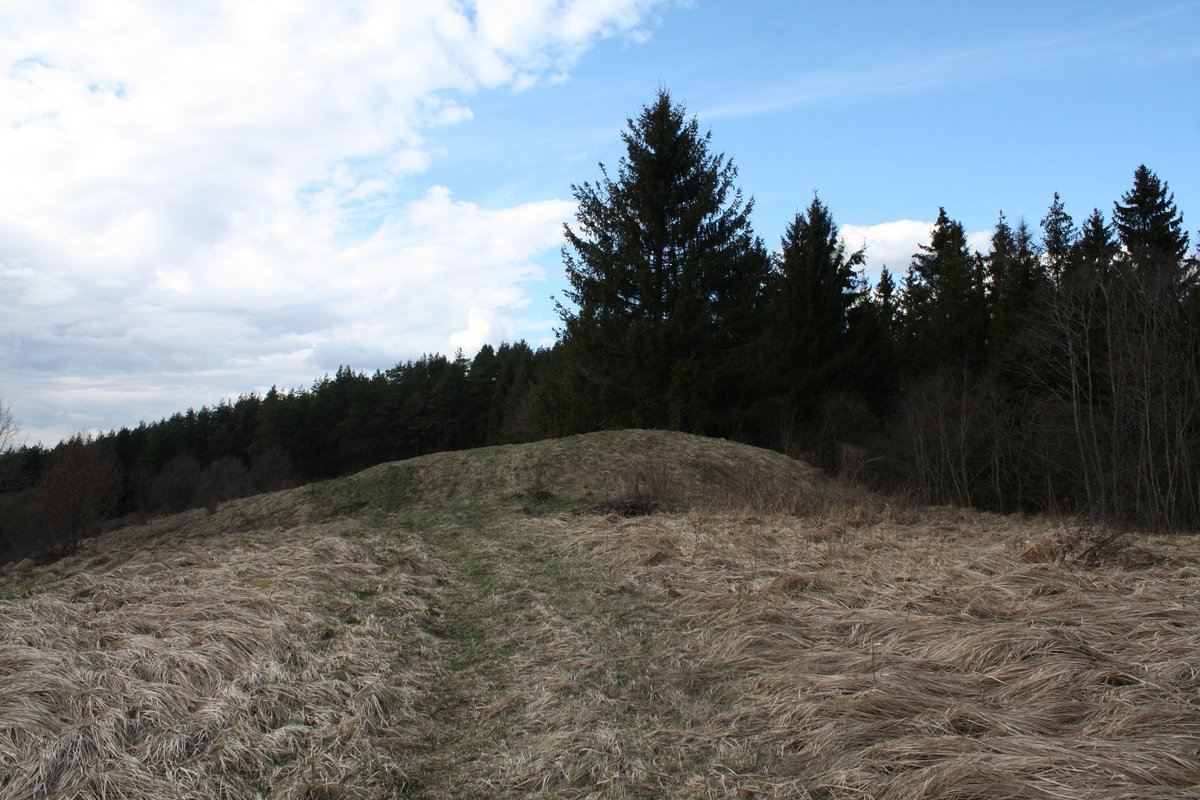
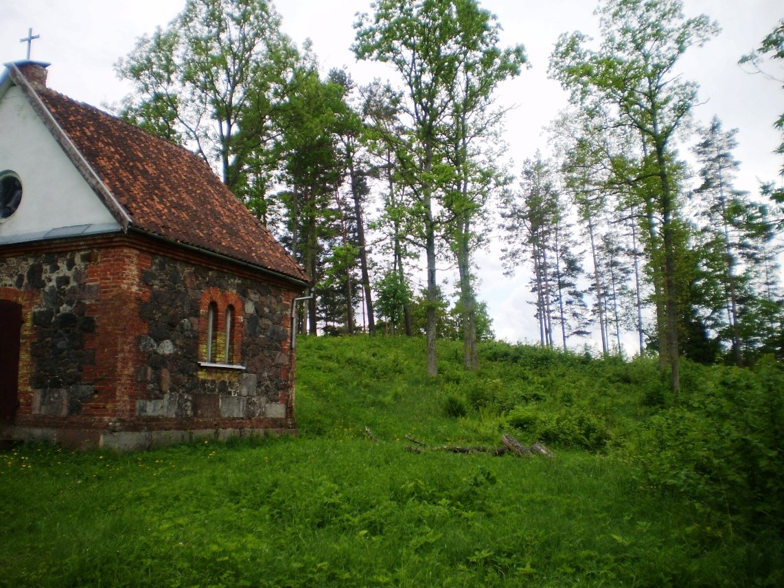
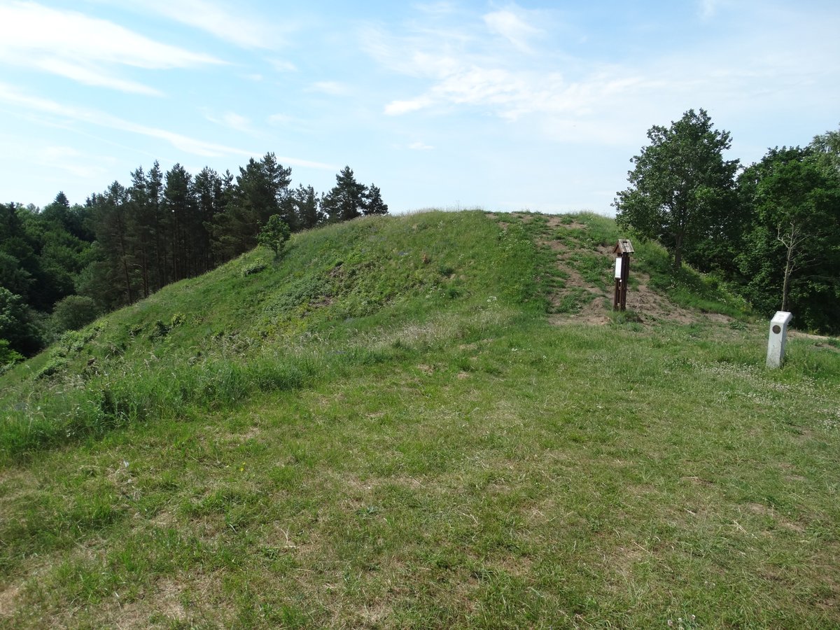
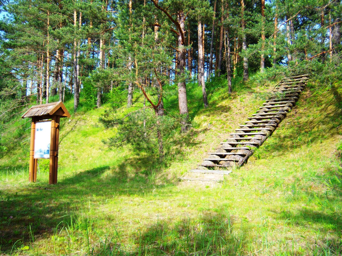
The hillfort is situated on a high terrace of the Dubysos river, positioned on a prominence of the height. The enclosure is rectangular, elongated in a south-north direction, and measures 25x8 m. At its northern end, there is a filled trench measuring 9 m long, 1.7 m high, and 14 m wide. The outer slope of this trench, which is 3 m high, descends into a 9 m wide, 1 m deep ditch. The surrounding slopes stand at heights of 15-20 m.
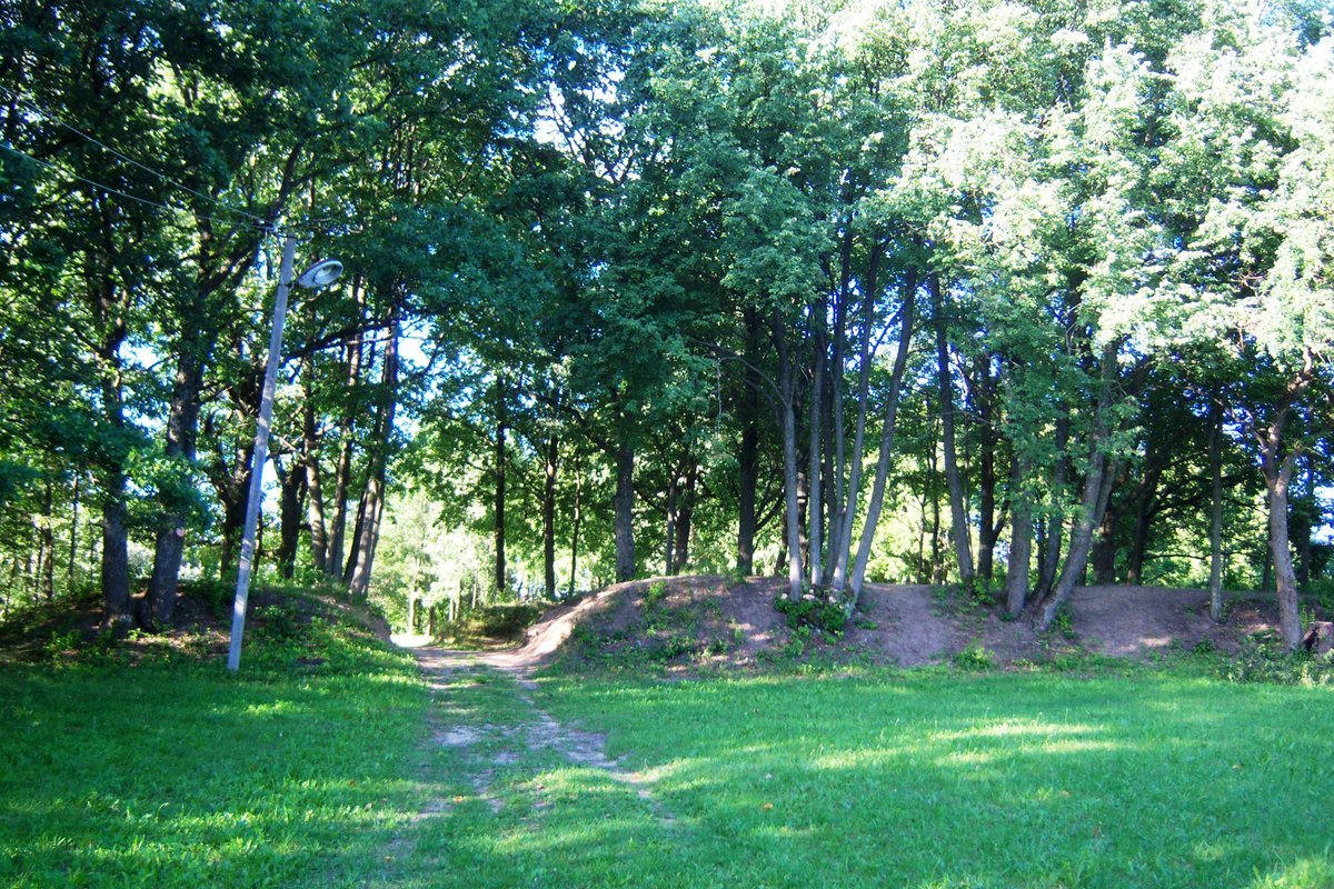
One pit is excavated within the trench. The hillfort is surrounded by mixed forest, with trees standing close to the enclosure. Dated to the first millennium - the beginning of the second millennium, the site was declared a cultural monument in 2007. The area of the monument's territory is 24,000 m².
Sources: Wikipedia, OpenStreetMap, Wikidata, Wikimedia Commons

Written by Nicolo Ciampini
Discuss this with the author and others
No comments yet. Be the first to start the conversation.