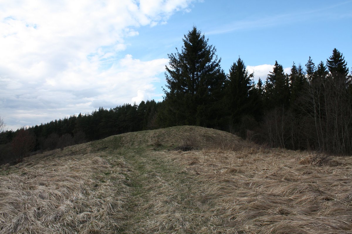
Ročiškė Hillfort, also known as Račkiškių or Aukštuonos kalnas, is located in the Raseinių district municipality, nearby Ročiškės, Betygalas seniūnija. The fortress is built on the high plateau of Dubysos dešiniojo kranto aukštutinės terasos krašte, adjacent to bevardžiu upeliu. The oval enclosure, approximately 42x20 meters, has dimensions of 0.5 meters in height, 4 meters in width, and a wall 4 meters in height. The steepest part of the wall is in the south-west, where the wall reaches 4 meters in height. On the wall, there are two levels. The lower level, 6 meters wide and 1.5 meters high, has a 1.5-meter-deep ditch along the south-west wall. Lithuanian archaeologist Liudvikas Kšivickis proposed the hillfort might have served as Mindaugas's fortress. Remains of earlier structures have been found near the hillfort's southern wall.
Sources: Wikipedia, OpenStreetMap, Wikidata, Wikimedia Commons
Written by Nicolo Ciampini
Discuss this with the author and others
No comments yet. Be the first to start the conversation.