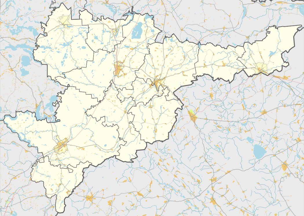

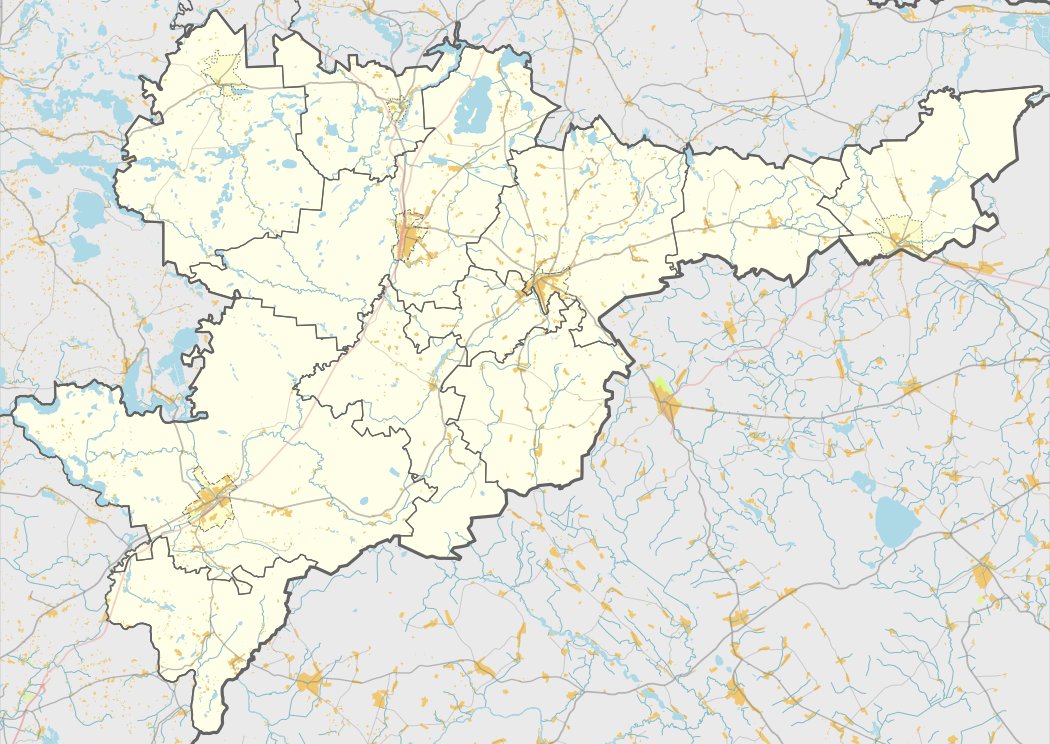
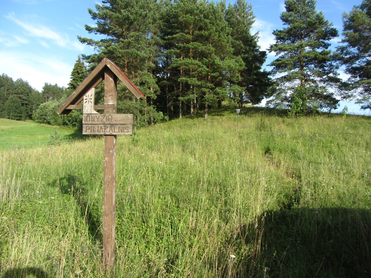
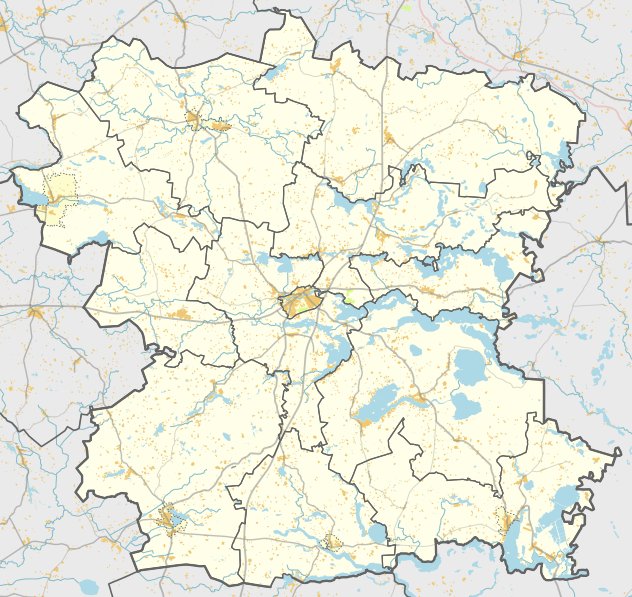
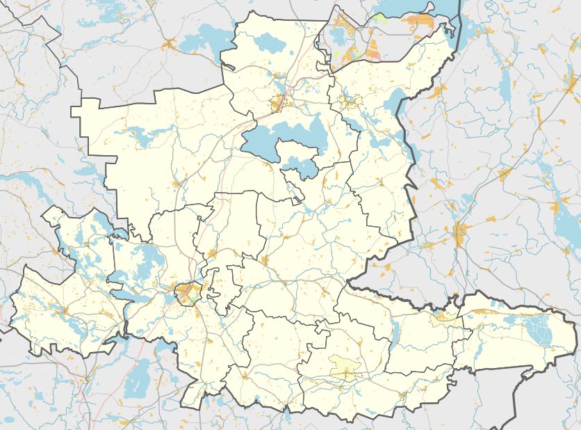
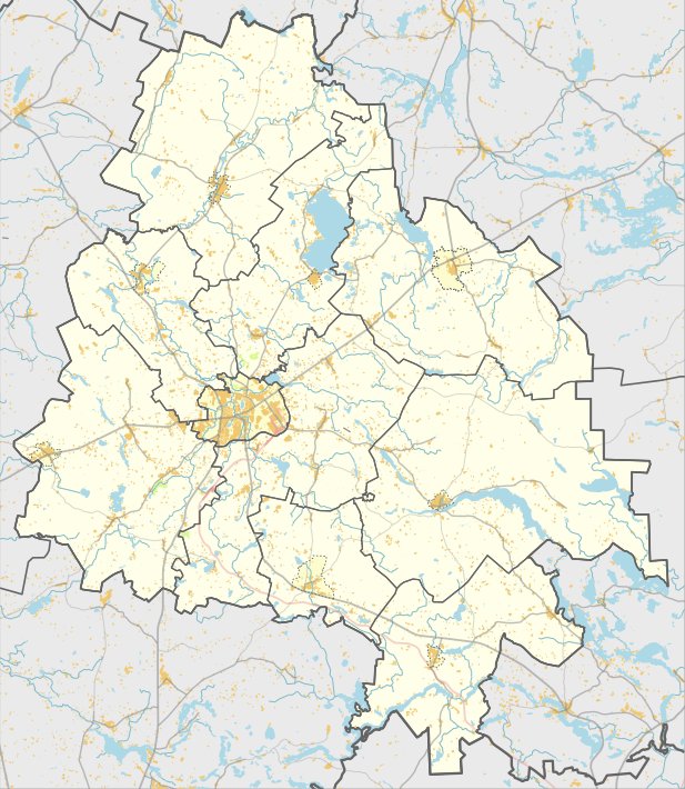
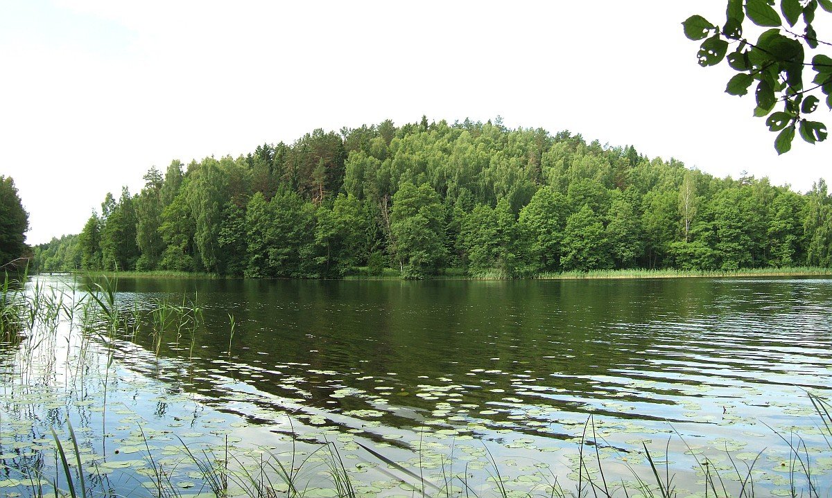
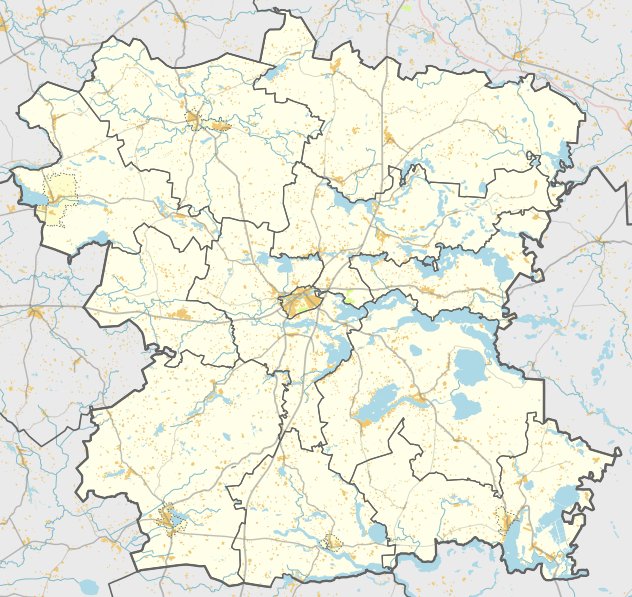
Budrių piliakalnis, also known as Pilalė, is a hill fort located in the Labanoro eldership of Švenčionys district. It sits on a peninsula on the southern shore of Lake Peršokšnos, about 420 meters from the end of the road near Budrių village. The site is situated in the southern part of the 3rd quarter of the Prūdiškių forest.
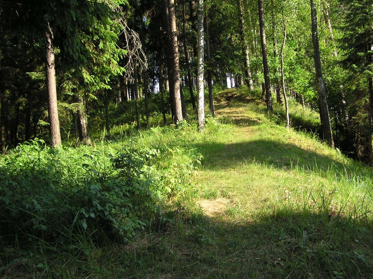
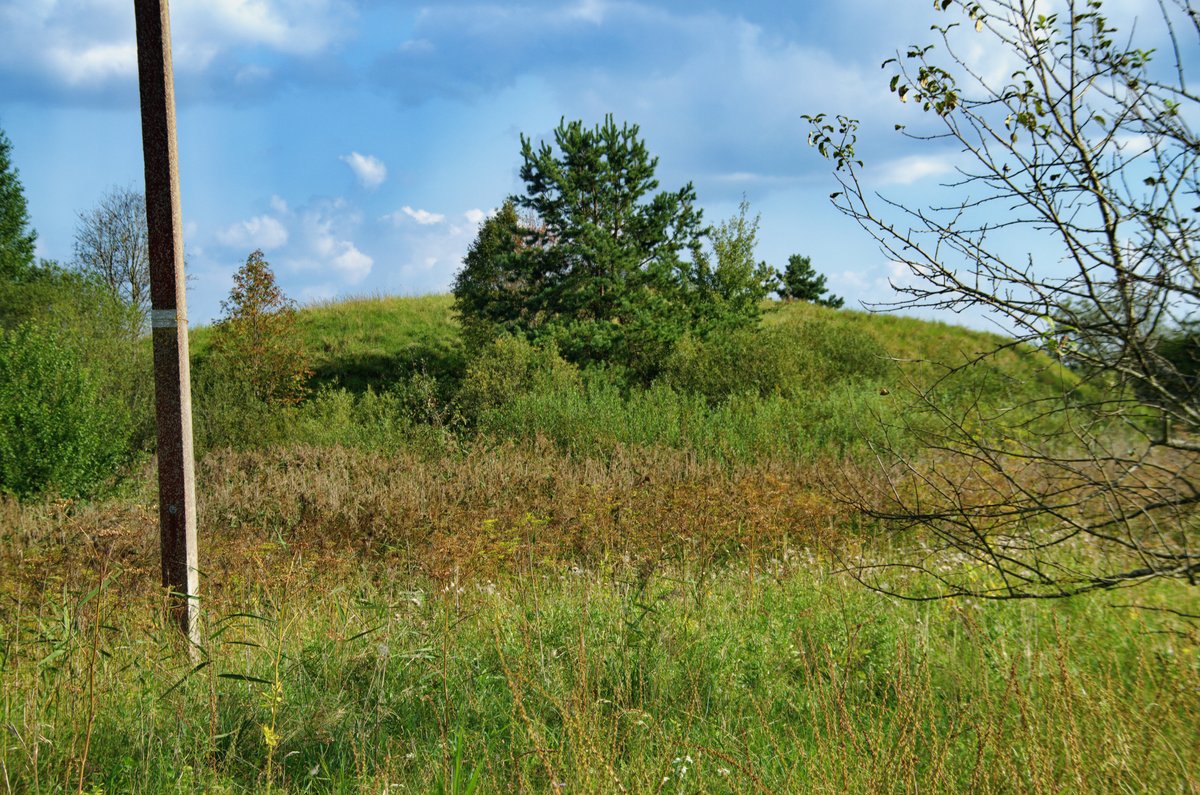
The hill fort features an oval courtyard oriented north - south, measuring 45 by 15 meters, and sloping towards the southwest. On the southern slope, 14 meters below the courtyard's surface, lies a 14-meter wide terrace. The northern slope features a wide natural terrace with an outward-sloping edge. The side slopes are steep, reaching heights of up to 20 meters, while the end slopes are flatter and lower.
Vegetation covers the site, consisting of pines and a grove of larches. The hill fort is dated to the beginning of the 1st millennium. It was first surveyed in 1973 by the Institute of History and later by the Scientific Methodical Council in 1979.
Sources: Wikipedia, OpenStreetMap, Wikidata, Wikimedia Commons
Written by Nicolo Ciampini
Discuss this with the author and others
No comments yet. Be the first to start the conversation.