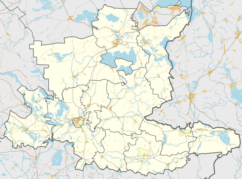

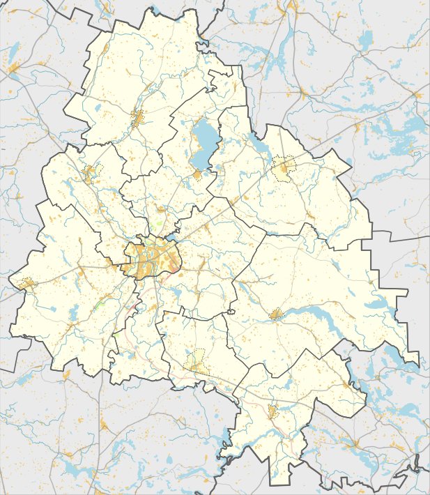
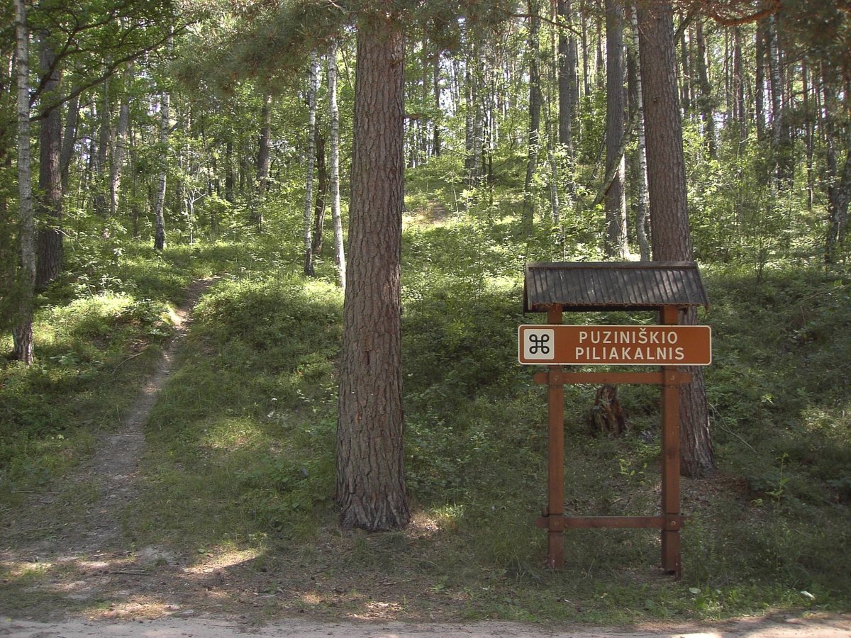
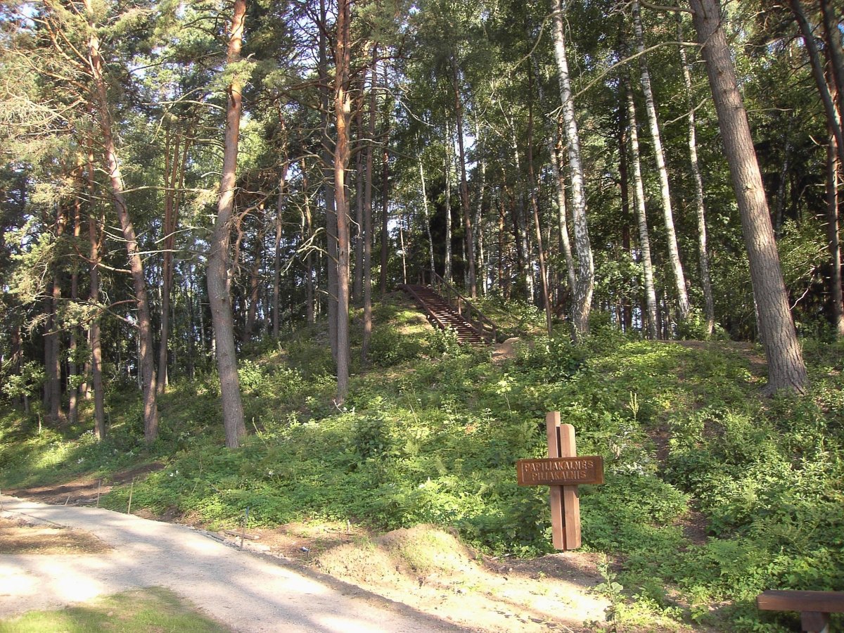
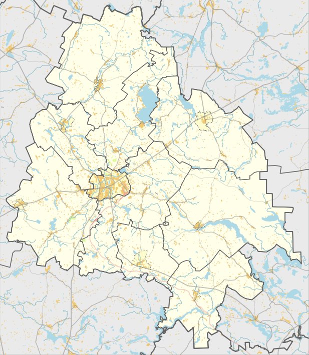
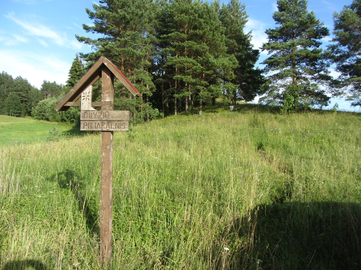
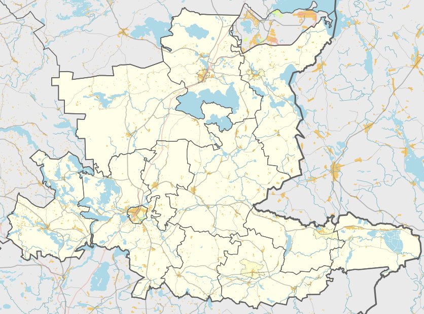
In Linkmenys, a hillfort (MC 1962, Register No. AR176) and a settlement (MC 24763) stand as preserved parts of the landscape. The site can be reached from the Švenčionėliai – Utena road by turning right toward Benediktavo (Ginučiai), crossing the power line, and turning left 500 m past the yard to the northwest; it is located 100 m to the east of the yard.
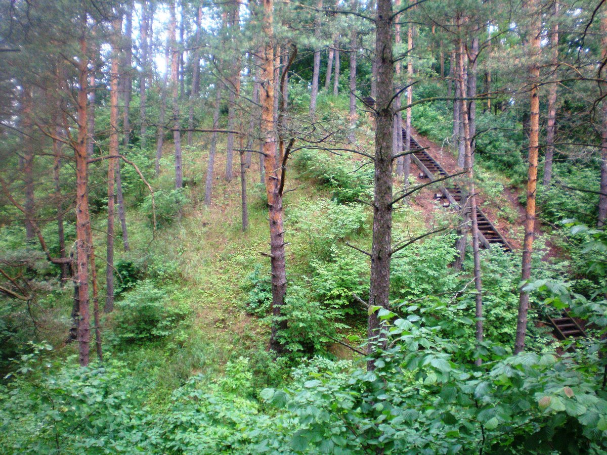
The oval hillfort courtyard measures 25x19 m and is 1.5 m lower in the southwest part. On the northwest slope, 4 m below the courtyard, lies a 2 m wide terrace. The surrounding slopes rise 8–10 m high, while the northeast slope is covered with grass. A high-voltage power pole is embedded in the lower part of the northeast slope.
In the surrounding slopes, there is a 0.3-hectare settlement site where grooved and rough ceramics and slag were found. The site was surveyed by the Institute of History in 1958 and by the Scientific Methodological Council in 1976 and 1985. It dates back to the 1st millennium – beginning of the 2nd millennium. The Lithuanian Minister of Culture ordered its protection on April 29, 2005, covering a protected area of 8500 square meters with a visual protection zone of 802,000 square meters.
Sources: Wikipedia, OpenStreetMap, Wikidata, Wikimedia Commons


Written by Nicolo Ciampini
Discuss this with the author and others
No comments yet. Be the first to start the conversation.