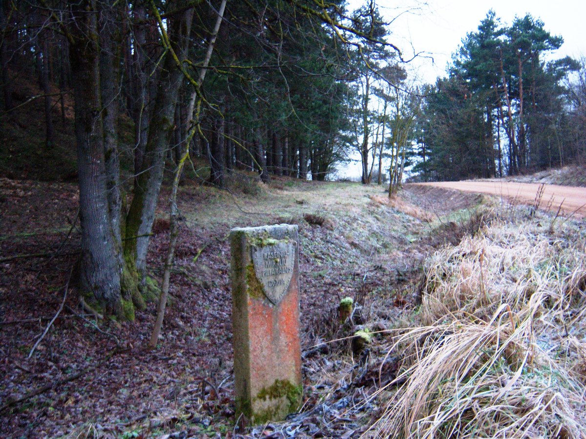
For two millennia, the hillfort and settlement known as Prabauda or Mirklių kalnu has taken refuge in the forest of Raseinių seniūnija. It was identified by the Institute of History in 1967, yet, for a time, it remained uncharted, shunned by time. The hillfort itself, a pair of curving earthworks in the landscape, lies in the northwestern and south-eastern crypts, plunging 6 meters deep, 1 meter wide, with the natural moat winding between them. The hill rises 1.5 meters high, with a 14-meter-wide covering to conceal it, and staircases of uncertain age ascending from it, reaching heights of 8 to 15 meters. It is a testament not of potent words, but of earth, concealed under a forest veil.
Sources: Wikipedia, OpenStreetMap, Wikidata, Wikimedia Commons
Written by Nicolo Ciampini
Discuss this with the author and others
No comments yet. Be the first to start the conversation.