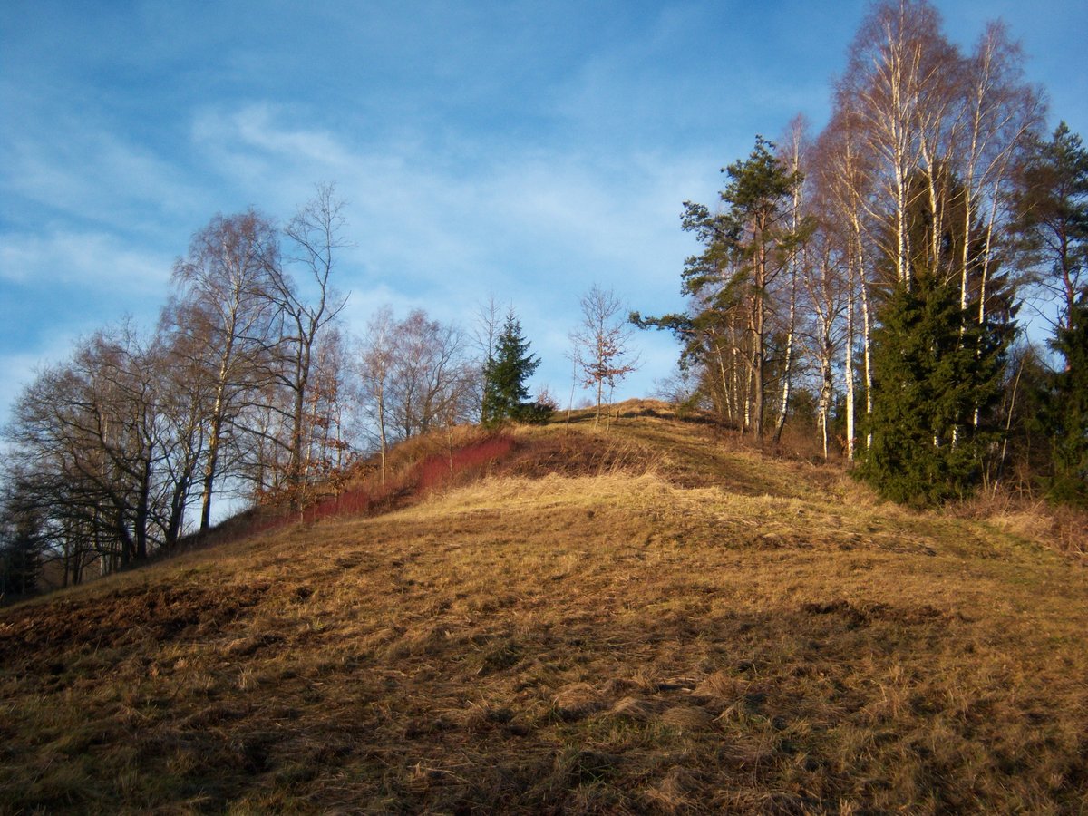

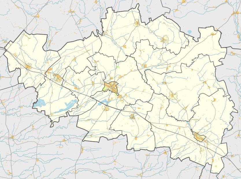
In the Raseiniai district of Lithuania, the Padubysių hillfort, also known as Kaukuru or Kaimele, is situated in the Dubysos valley. It is reachable from the 225 Raseiniai–Baisogala road by turning right at the Petkūniškiai bridge and following a 2 km gravel path. The site is located 100 meters to the west before a larger river, where the side of the slope becomes visible.
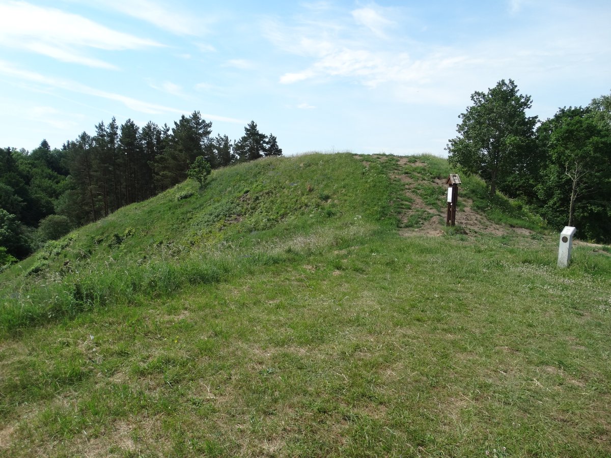
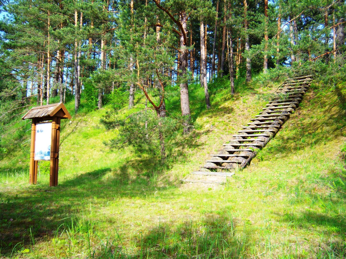
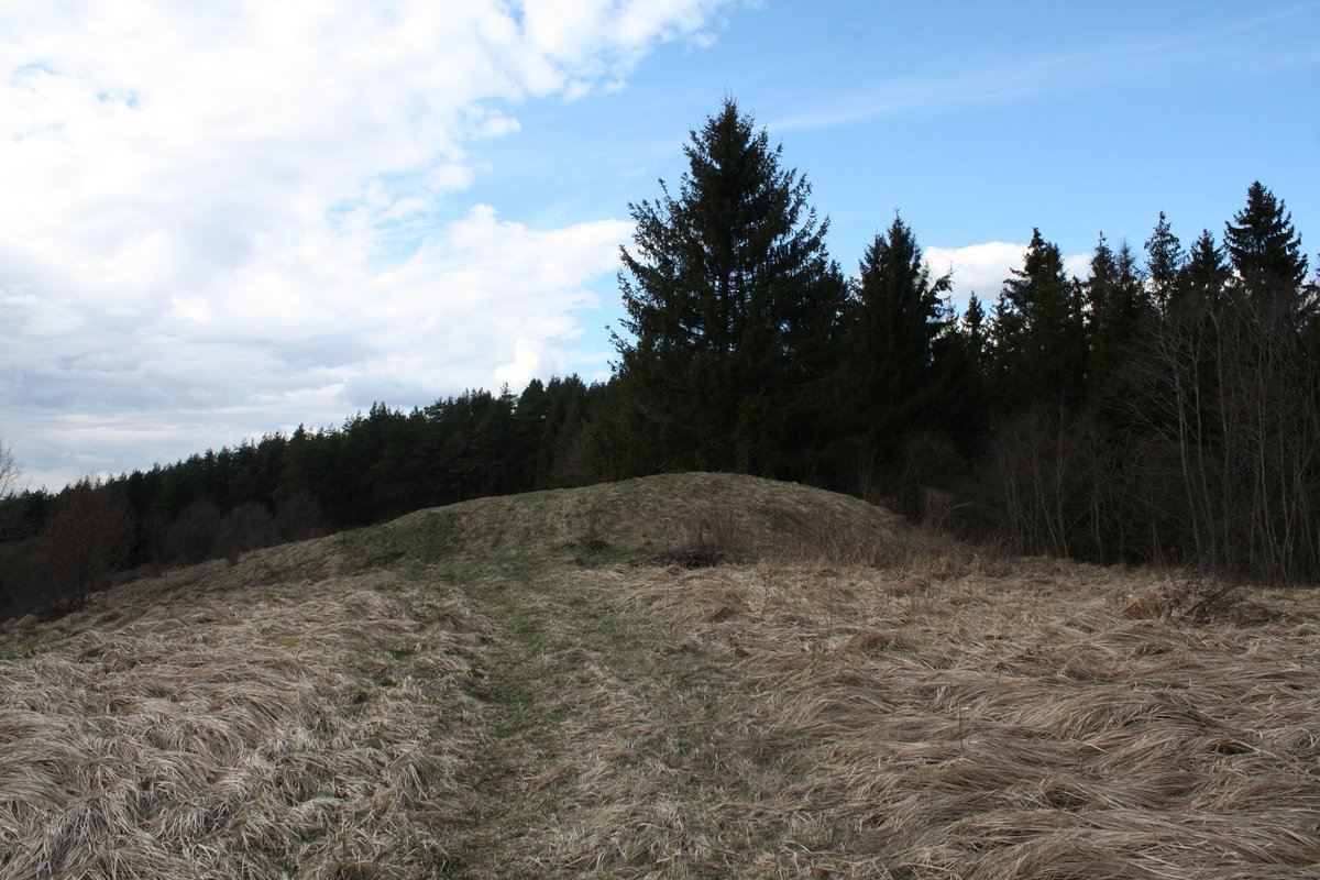
The hillfort is situated on a high terrace on the right bank of the Dubysos river, between two small streams. The courtyard is an irregular quadrilateral, 60 meters long and between 10 and 32 meters wide, oriented northwest to southeast. The southeast edge features a 0.7 meter high, 12 meter wide embankment, with a 9 meter wide terrace 3 meters below it. The northwest edge has a 2 meter high, 13 meter wide embankment with an outer slope descending into a trench 18 meters long, 10 meters wide, and 2 meters deep. The slopes rise to a height of 30 meters.
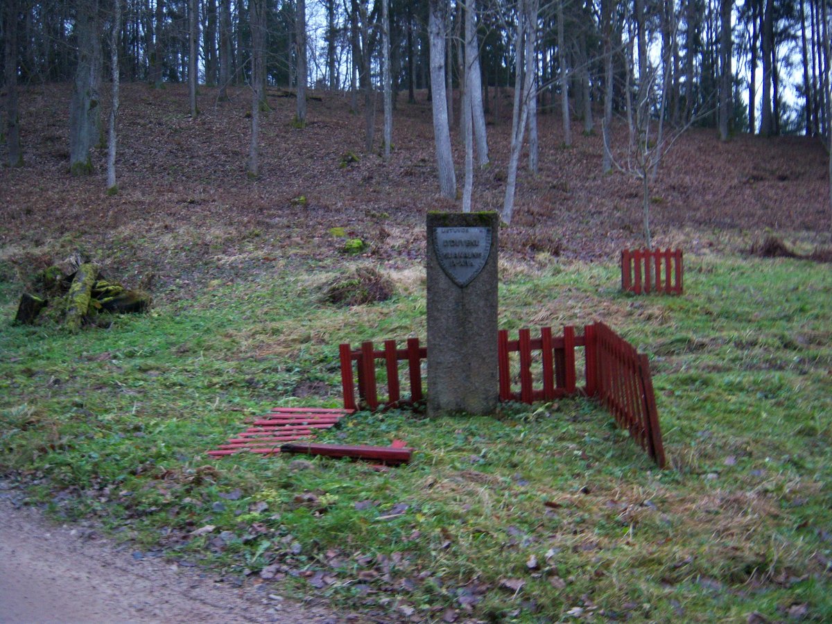
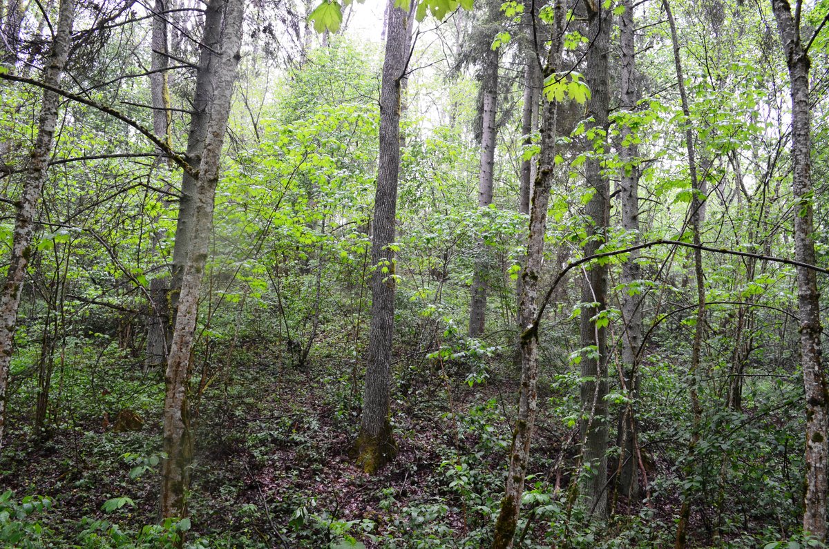
The fortification is surrounded by ditches, and the northwest part of the courtyard is covered with bulwarks. The site is currently overgrown with shrubs, and the slopes are covered with deciduous trees. A grove is located to the northwest, separated by a trench 11 meters wide and 1 meter deep. The hillfort dates to the 1st millennium - beginning of the 2nd millennium and was declared a cultural monument in 1998. The Institute of History began surveying the site in 1967.
Sources: Wikipedia, OpenStreetMap, Wikidata, Wikimedia Commons

Written by Nicolo Ciampini
Discuss this with the author and others
No comments yet. Be the first to start the conversation.