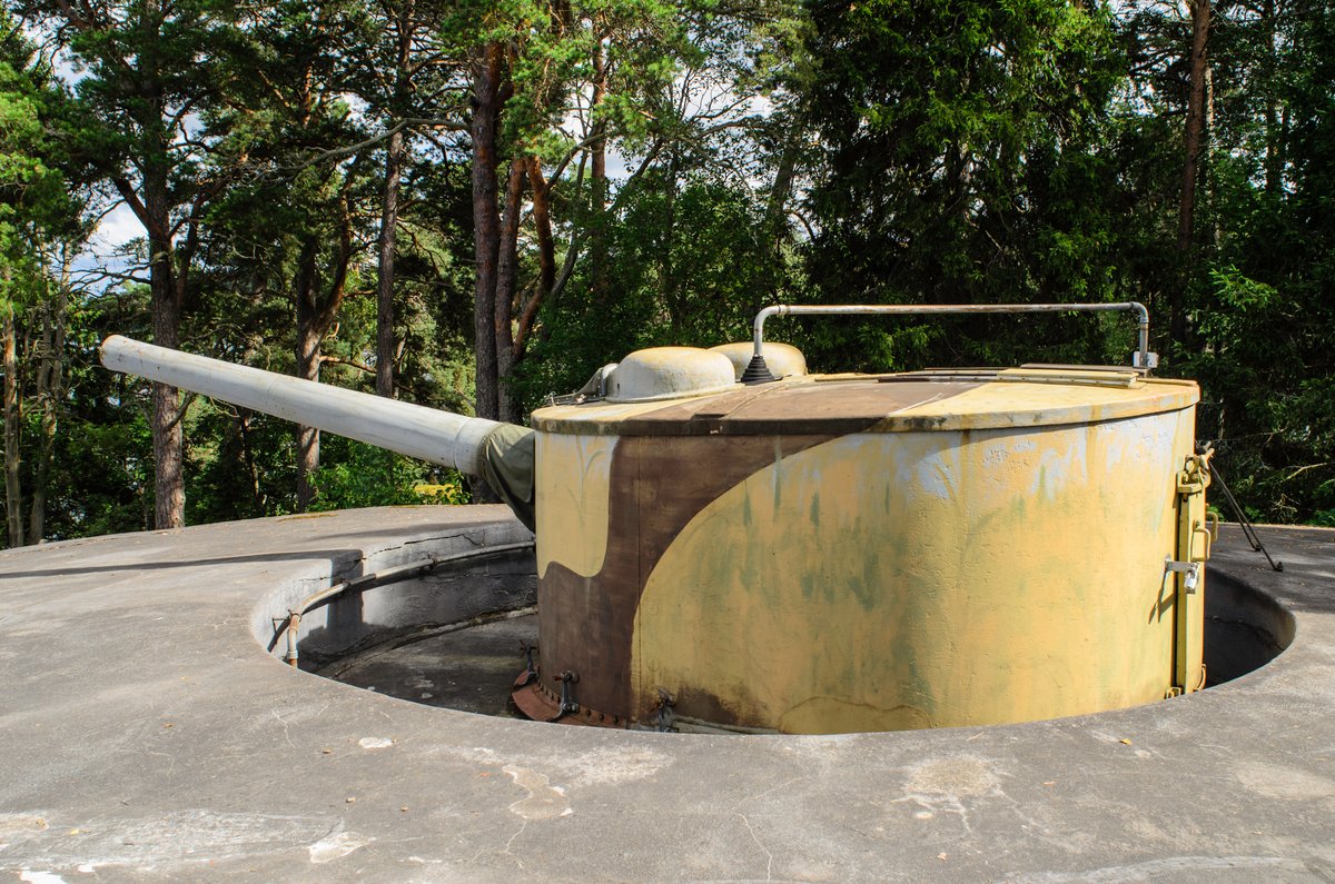

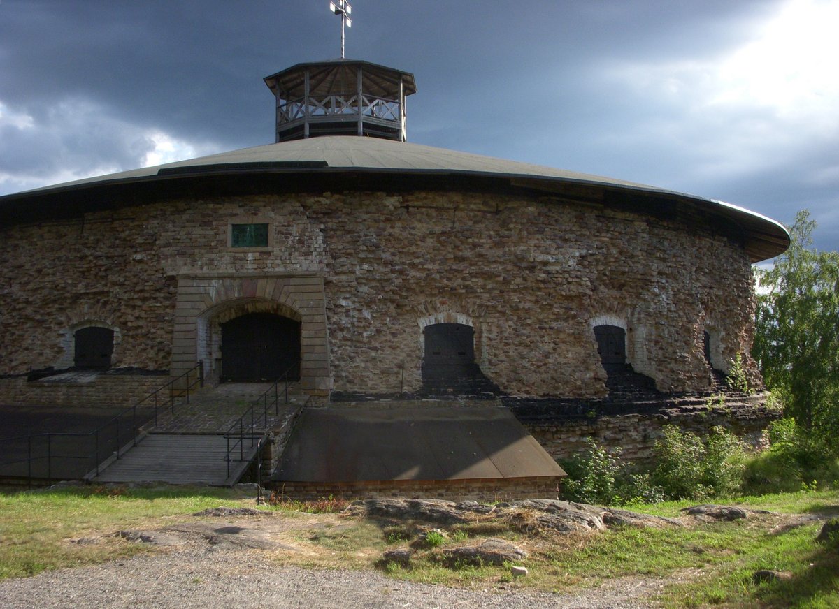
Siaröfortet is located on Kyrkogårdsön, west of Siarö in Stockholms skärgård, at Furusundsleden. It formed part of the Vaxholms yttre befästningslinje together with Ängsholmsfortet. Although originally planned for Siarö, construction began on Kyrkogårdsön in 1916. The island's name comes from an old cemetery for cholera victims. Following the start of World War I, work began on the fort, which saw its final inspection in 1924, after the war ended in 1918.
The facility consists of a main work blasted into the rock with a concrete roof four to six meters thick. It contained a command post, ammunition stores, and living quarters for the crew. Two 15.2 cm m/1898 cannons in single turrets, originally from the HMS Svea, served as the main armament. At the beach, there were four quick-firing 57 mm cannons and a 5,000 watt adjustable searchlight. Two steel observation towers on the fort's top were used for fire control, while the eastern, northern, and western sides were surrounded by barbed wire hurdles, the remains of which are still visible.
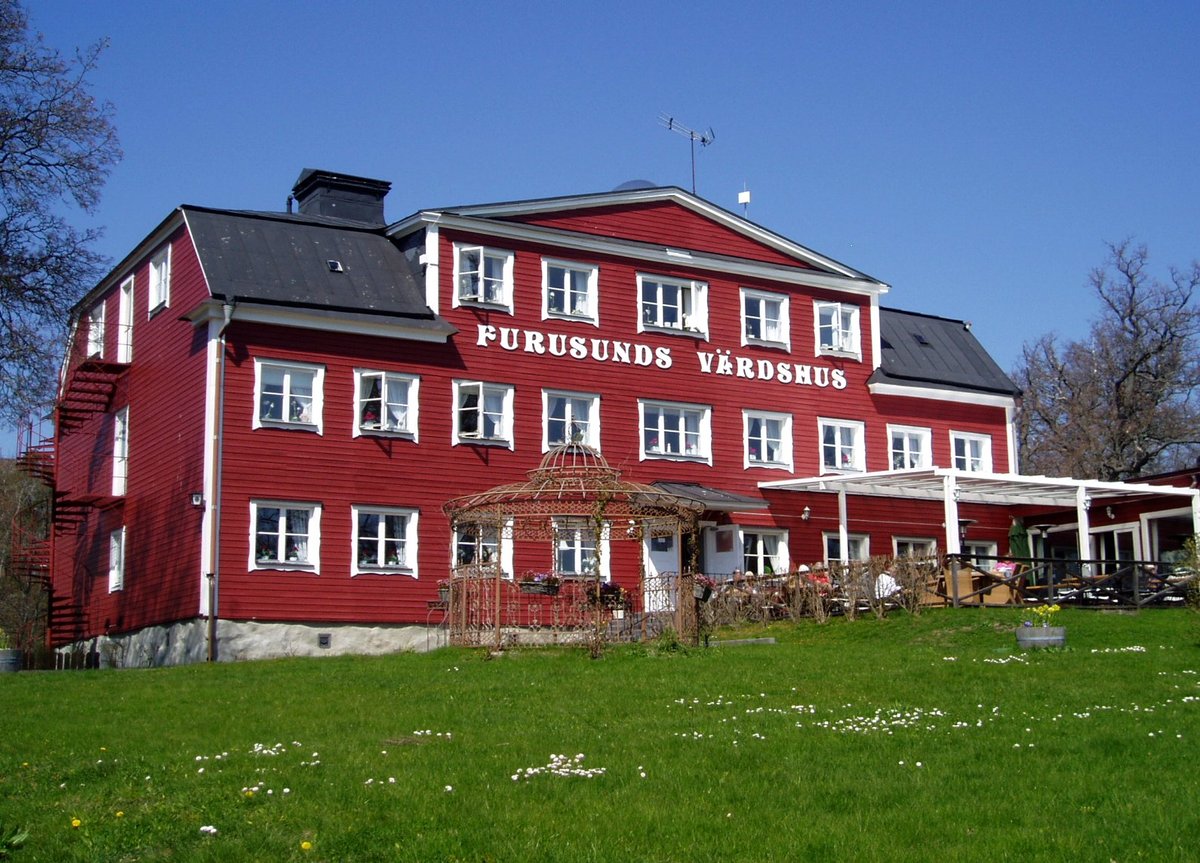
Inside the mountain, the fort could accommodate approximately 270 soldiers in bedrooms, dining halls, kitchens, and storage areas. Although it was criticized for damp overnight quarters, it remained in use for military exercises until the 1960s. In the 1990s, the fort was renovated to be used as a military museum and tourist destination. Today, it is managed by Statens fastighetsverk, and Antrophia Rederi AB operates a hostel and conference center in the old barracks, offering guided tours of the fort.
Sources: Wikipedia, OpenStreetMap, Wikidata, Wikimedia Commons

Written by Nik Frost
Discuss this with the author and others
No comments yet. Be the first to start the conversation.