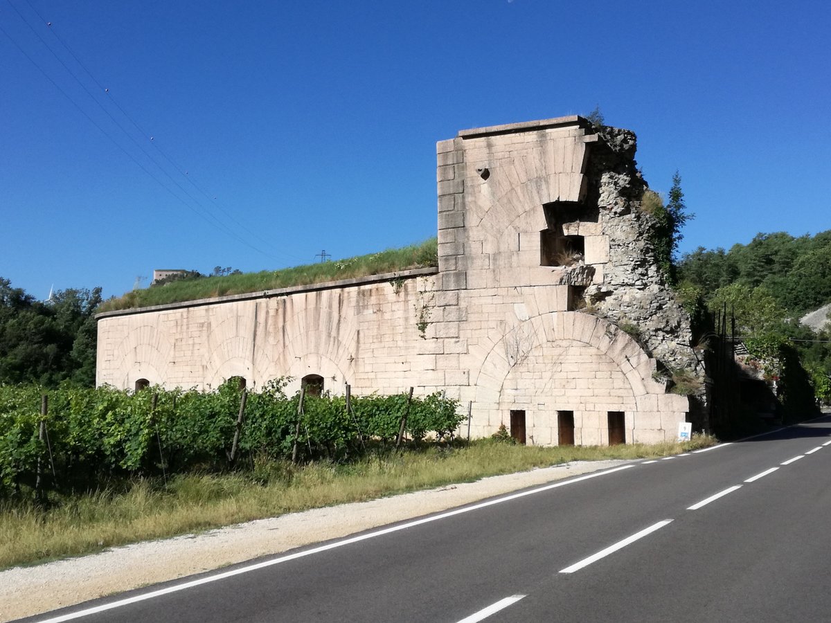

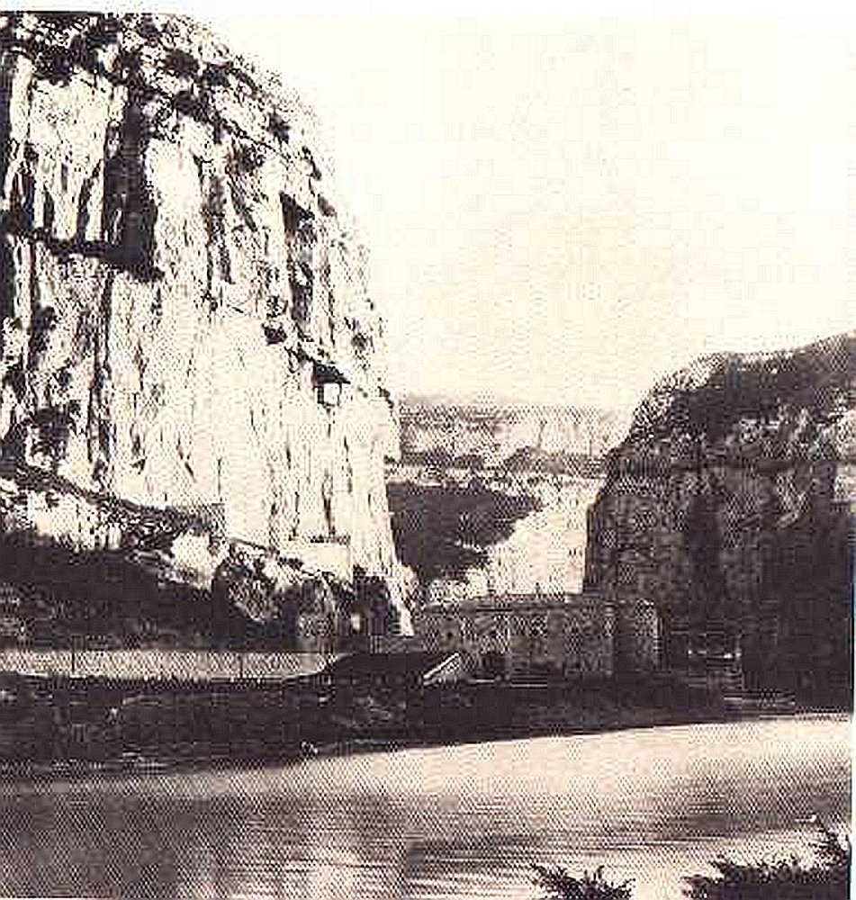
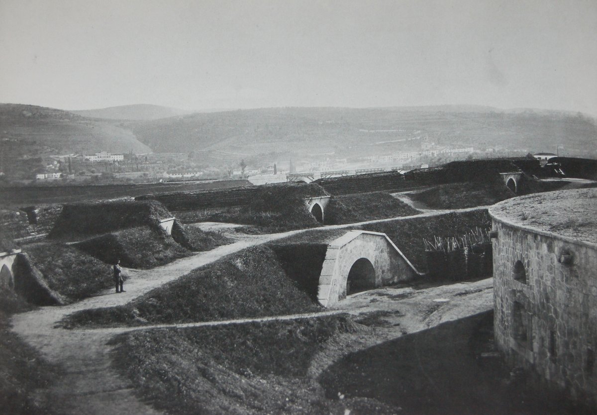
Completed in 1884, the Tagliata d’Incanal sat at an elevation of 100 meters above sea level between Monte Cordespino and the Etsch. Built from Veronese marble covered with a layer of plaster, the structure was designed to block the Incanal-Rivoli road and the area to the south of the river. It functioned as a roadblock and a defensive position, eventually becoming part of a larger group of fortifications including the Forte San Marco and various other forts in the region.
The roadblock consisted of a gatehouse and defensive sections on both sides. On the mountain side, it featured two defensive walls with rifle loopholes. The side toward the river featured a casemate block with an inner courtyard. A ditch, approximately five meters wide and four meters deep at the front, led from the right flank toward the riverbank. This ditch was dry but could be flooded during high water. Behind a connecting earthwork served as cover for field guns, a covered path ran along the layout. The front of the gatehouse featured nine artillery embrasures and ten rifle loopholes, while the throat contained eight artillery and fifteen rifle loopholes.
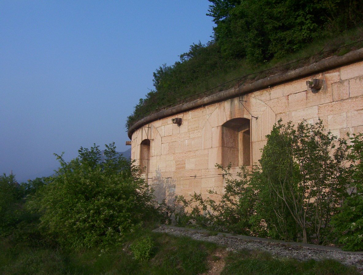
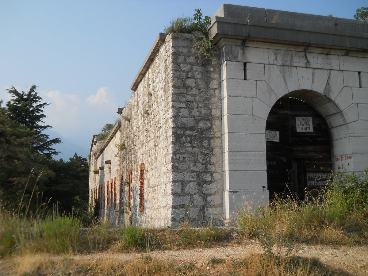
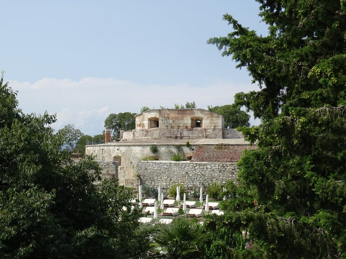
Positioned at a distance and built against the cliff face was the Batteria alta d’Incanal. This detached work featured three levels of fire: the lowest consisted of fifteen rifle loopholes in groups of three, the middle featured five artillery embrasures, and the highest was a wall on the roof with two hollow traverses for field guns. A magazine bunker was located in a covered position behind this battery.
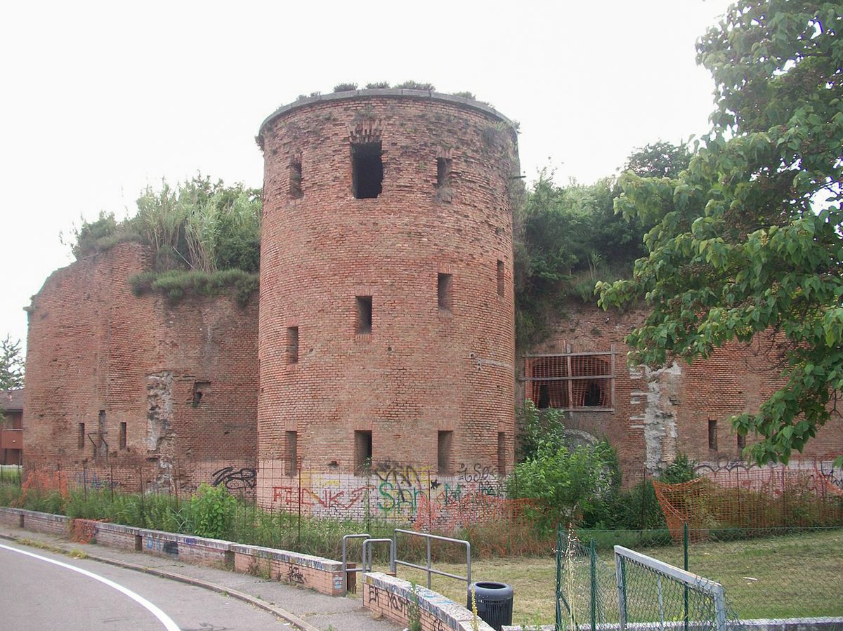
Today, much of the original structure has been altered. When the road was widened, likely in the 1960s, the gatehouse was demolished up to the right outer wall. The casemate block still partially exists, though large portions of the rear were also destroyed. Only small remains of the mountain-side defensive walls are left, and the connecting battery ditch has vanished completely. The path of the Brenner motorway now runs over the site where the connecting battery once stood. The Batteria alta d’Incanal remains largely intact, though it is in a ruined state.
Sources: Wikipedia, OpenStreetMap, Wikidata, Wikimedia Commons
Written by Nicolo Ciampini
Discuss this with the author and others
No comments yet. Be the first to start the conversation.