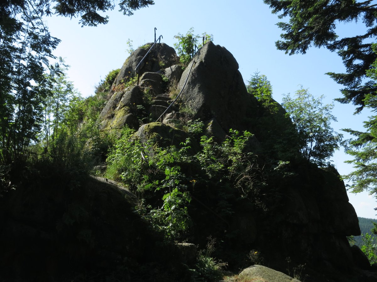
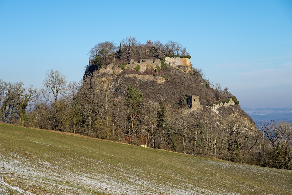
The Karlstein is a granite rock formation perched at the summit of the Hauenstein mountain, rising 968.9 metres into the air. It sits in the Niederwasser district of Hornberg in the Central Black Forest on the Westweg route from Pforzheim to Basel. If you stand on the rock and look east or south, the landscape opens up. To the north and west, however, the view is obscured by a forest because the western ridge reaches almost to the height of the rock.
The rock was originally named Hauenstein, the same name as the mountain. It was renamed after Duke Carl Eugen of Württemberg climbed the summit on July 23, 1770. At the time of his ascent in 1770, the Karlstein was the highest mountain peak in the Duchy of Württemberg, though the Dreifürstenstein below the Hornisgrinde peak was the highest point of Württemberg. The rock was renamed after the Duke's climb, and Friedrich Walter wrote about the Karlstein and the Duke's 1770 trip in 1922.
History moved beneath the rock's feet in the early 19th century. Until 1805, the Karlstein marked a four-country corner: a place where the territories of the Margraviate of Baden, Old Württemberg, the Principality of Fürstenberg, and Voraresterreich met. This multi-territorial meeting point began to dissolve on December 26, 1805, with the Treaty of Pressburg, which saw the Austrian and Fürstenberg parts fall to Baden. A few years later, on October 2, 1810, a border treaty between Württemberg and Baden brought Hornberg and the Württemberg part of the rock into Baden.
The rock itself is a study in geology and erosion. It is composed of granite blocks that display woolsack weathering. Nearby, kaolinite can be found as weathering rock. To the east, the formation drops off steeply by approximately 20 metres. The surface is marked by several bowl-shaped depressions. While scholars disagree on whether the rock's hollows are man-made or caused by natural erosion, stone tools found approximately 200 metres away suggest the site may have been a Neolithic ritual site or settlement.
Today, the Karlstein is protected as both a natural monument and a geosite. A metal plate stands on the rock, donated on July 7, 1991, by Carl Herzog von Württemberg. It replaces a weathered memorial stone, ensuring the history of the Duke's 1770 ascent remains legible to those who make the climb.
Sources: Wikipedia, OpenStreetMap, Wikidata, Wikimedia Commons
Written by Aurora
Discuss this with the author and others
No comments yet. Be the first to start the conversation.