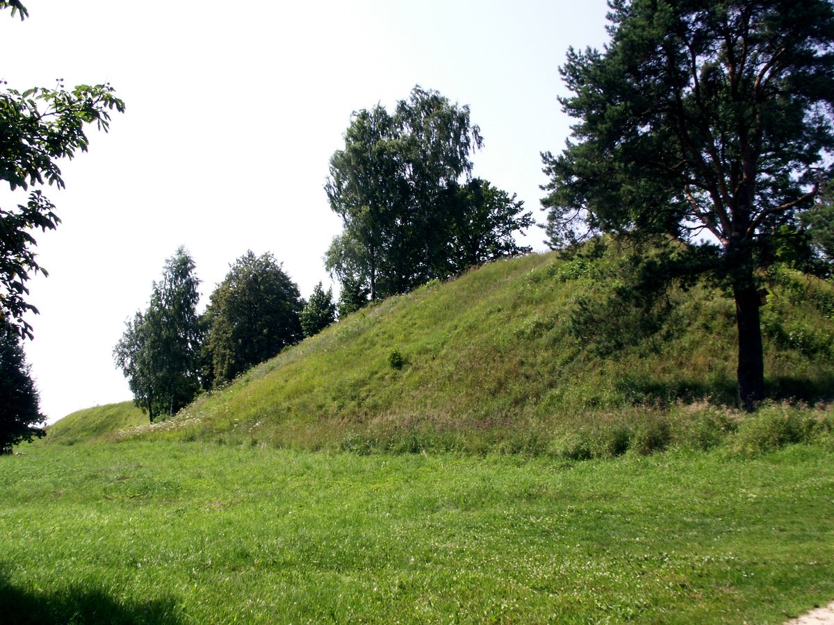

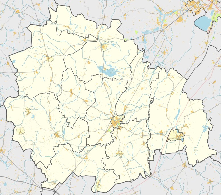
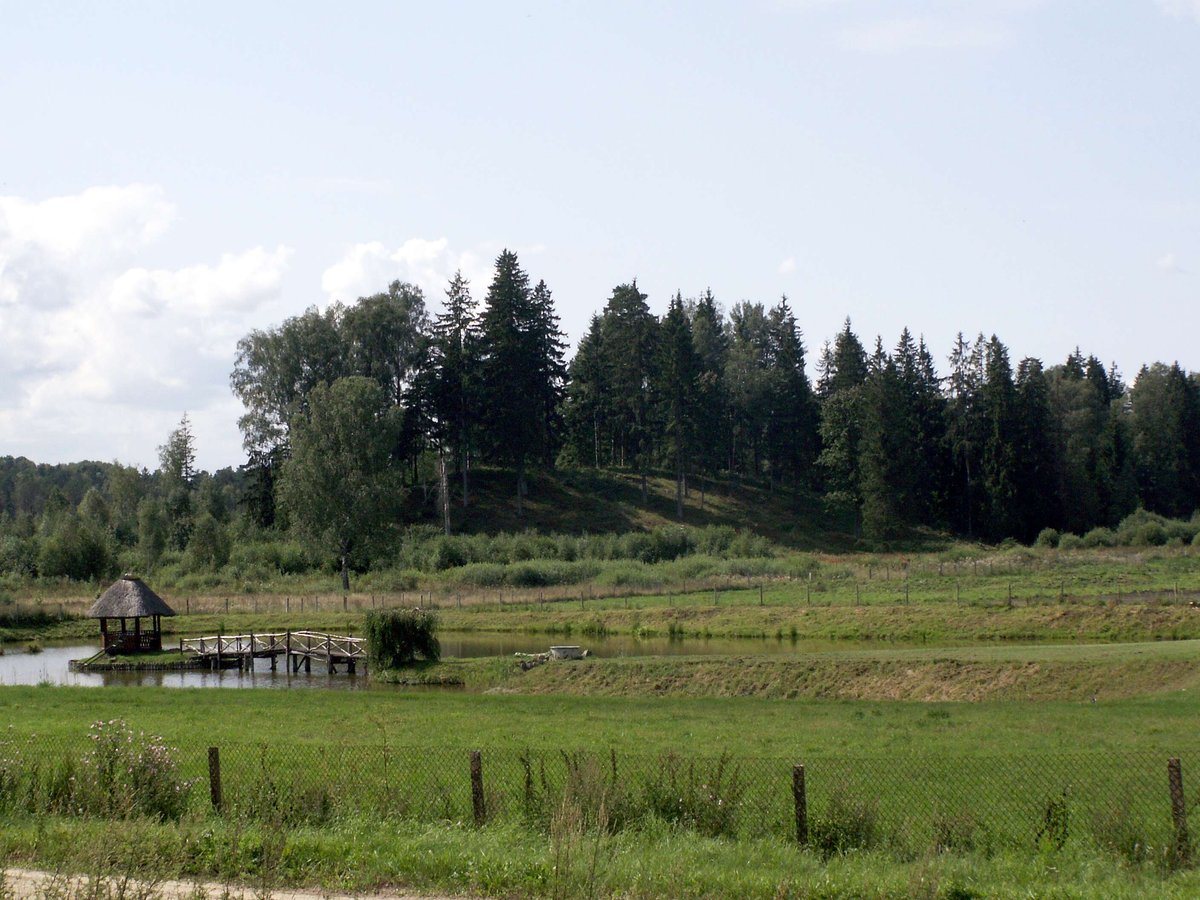
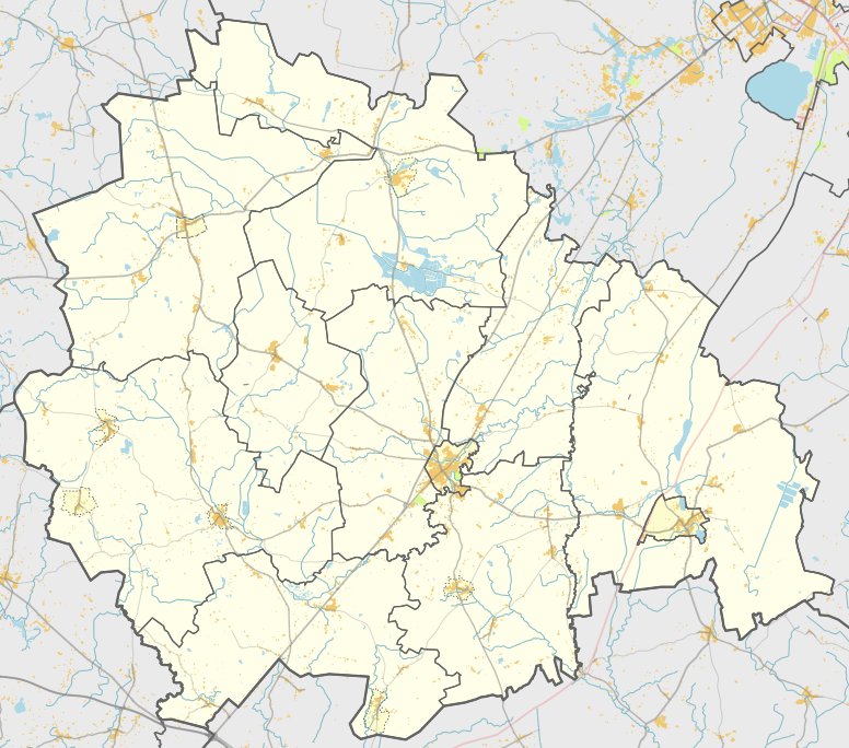
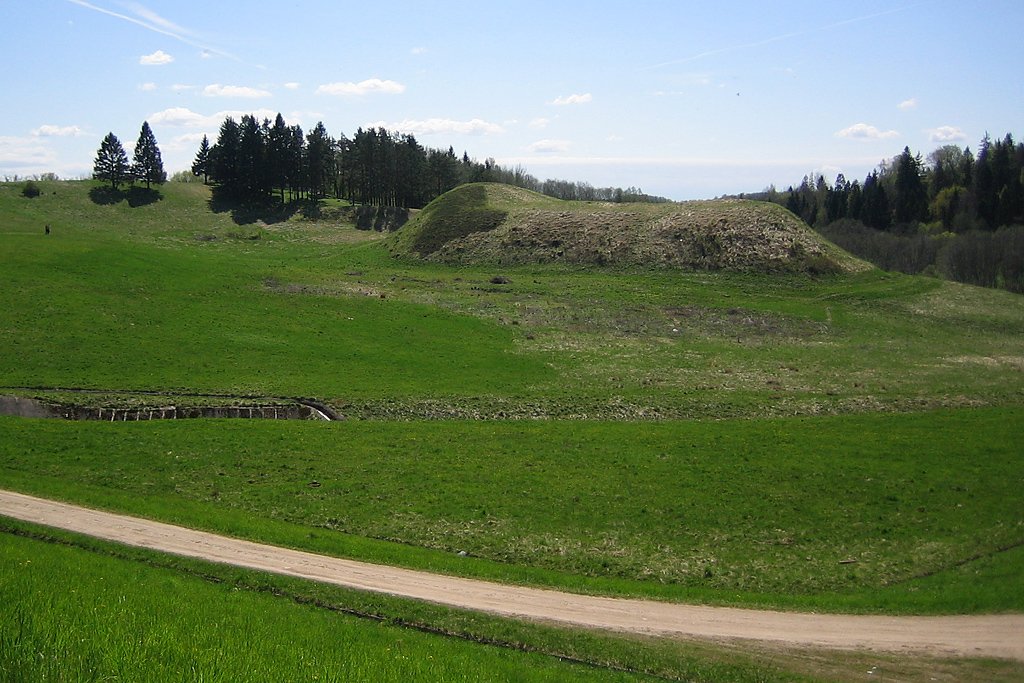
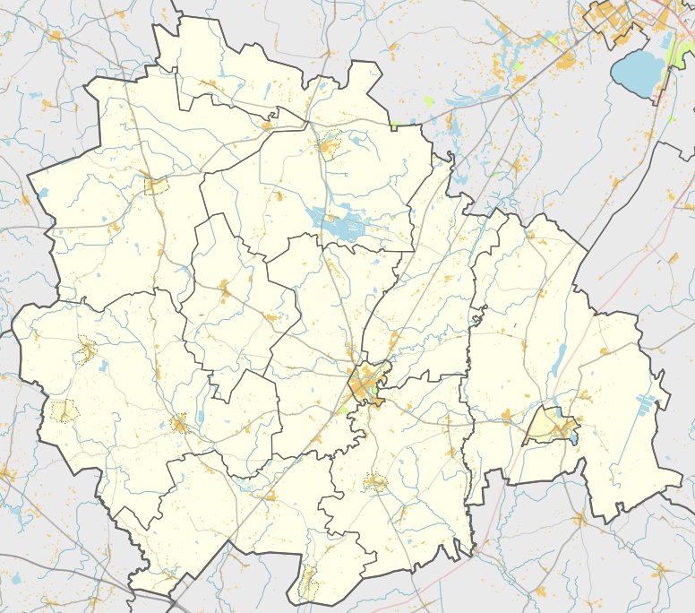
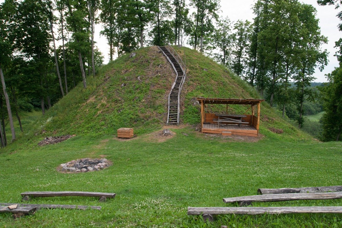
Located in the Kelmė district in the territory of the Šaukėnai eldership, Biržės kalnas - also known as Biržės pilis - is a hillfort situated on a cape on the left bank of the Ventos. It is accessible from the Užventis–Šaukėnai–Kuršėnai road, following a route from the Ramučiai intersection towards Kuršėnai for 400 m west, 100 m north, and finally 50 m west. The site is characterized by steep slopes rising 11 m high from the Ventos valley and the surrounding woods.
The hillfort features an oval plateau measuring 23x19 meters. Along its western edge stands a rampart 4 meters high and 24 meters wide, behind which lies a ditch 40 meters long, 7 meters wide, and 3 meters deep. On the eastern side, there is a rampart 11 meters wide, while the rampart on the northern edge is destroyed.
To the southwest of the hillfort lies a settlement covering 6 hectares, which was investigated in 1998. Archaeological research revealed a cultural layer up to 1 meter thick containing human bones, smooth-surfaced pottery, and stone tools. The hillfort dates back to the first half of the 1st millennium to the beginning of the 2nd millennium.
Sources: Wikipedia, OpenStreetMap, Wikidata, Wikimedia Commons

Written by Nicolo Ciampini
Discuss this with the author and others
No comments yet. Be the first to start the conversation.