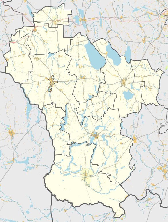
The hill, known as Mikyčių piliakalnis, is located in the territory of Lazdijų region, north of Mikyčių, Šventežerio seniūnija. It is situated on a hill, in a fork of the roads leading from Šventežeris to Gegutė, 1.8 km to the southwest. The hill is contained in a separate mound. The mound is oval-shaped, with a perimeter of 26x22 meters and an average diameter of 20 meters. The mound has two trenches, 2 meters deep to the north and 1.5 meters deep to the south. The mound was built with earth and stones. There is a settlement of 0.2 hectares in the southern and western slope of the mound. In 1954, the Institute of History identified the mound. Eugenijus Ivanauskas excavated a 16 square meter plot at the mound in 2001, revealing cultural artifacts. The mound is dated to the Iron Age.
Sources: Wikipedia, OpenStreetMap, Wikidata, Wikimedia Commons
Written by Nicolo Ciampini
Discuss this with the author and others
No comments yet. Be the first to start the conversation.