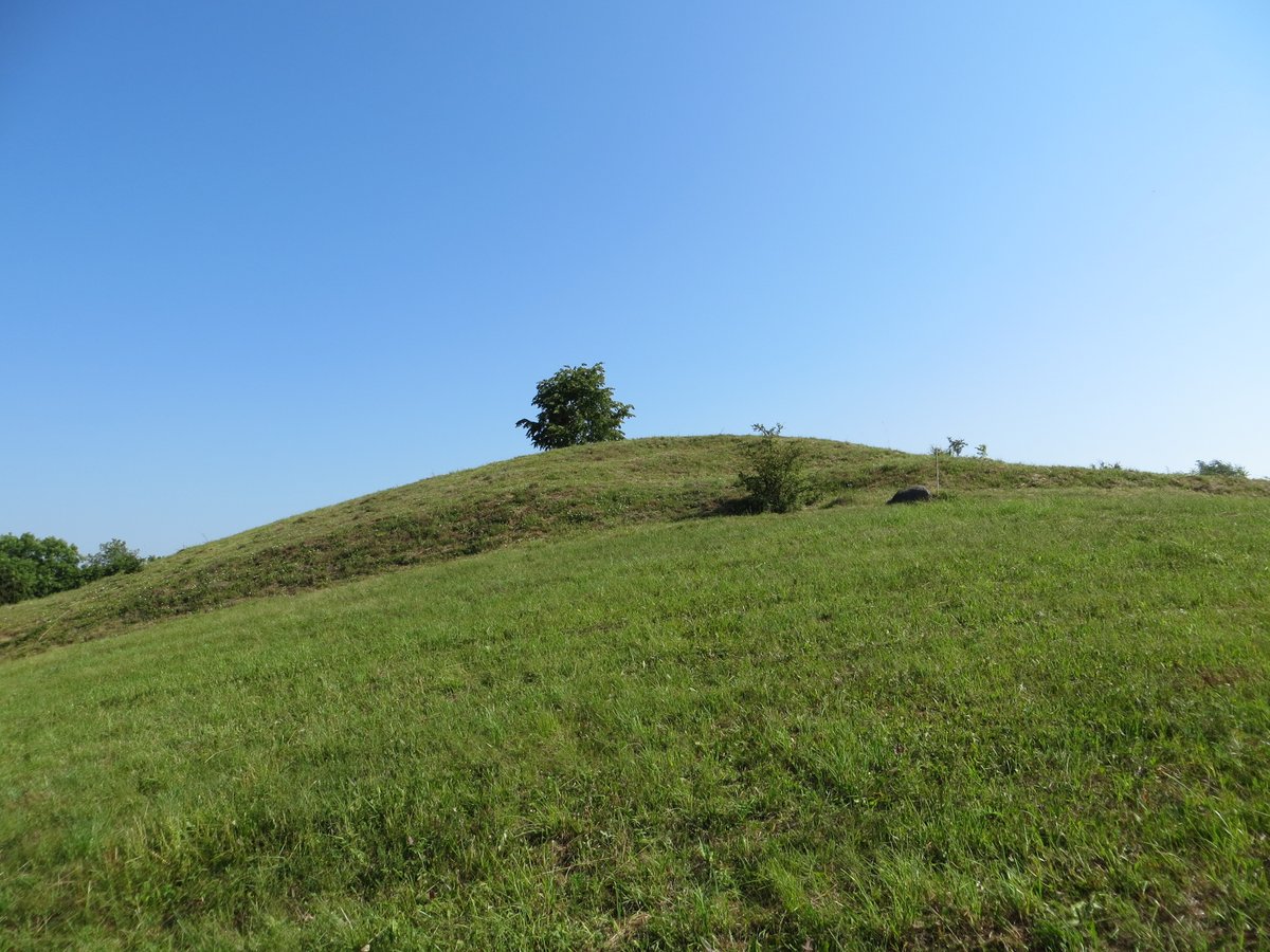

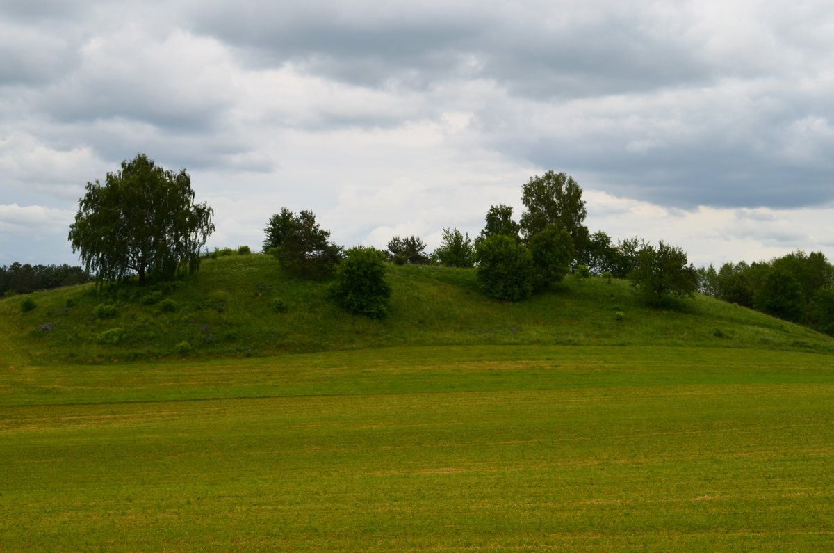
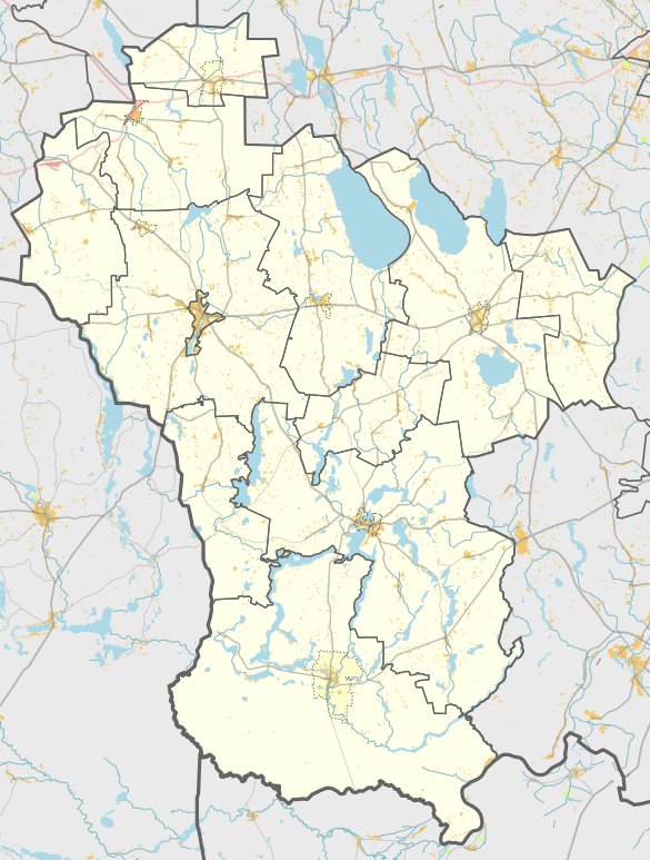
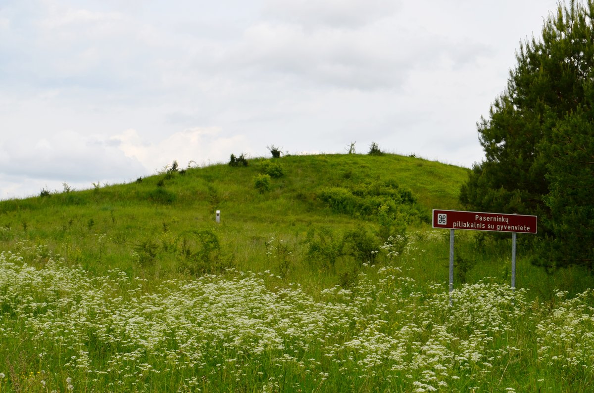
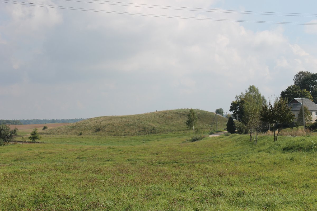
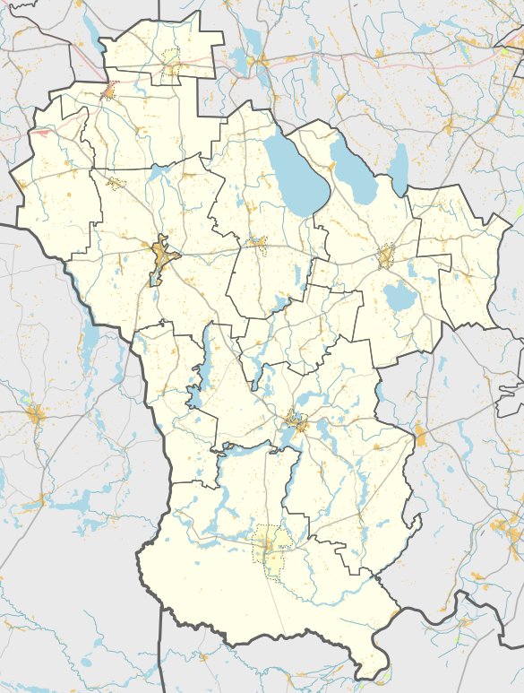
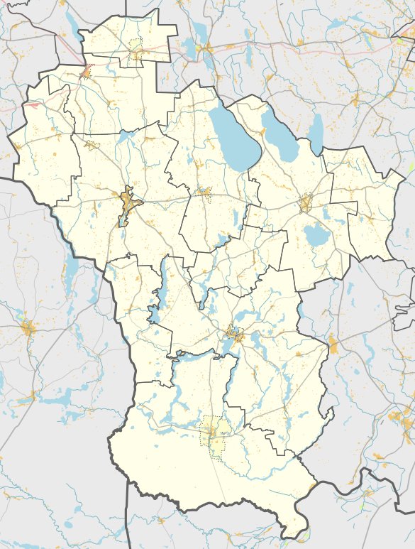
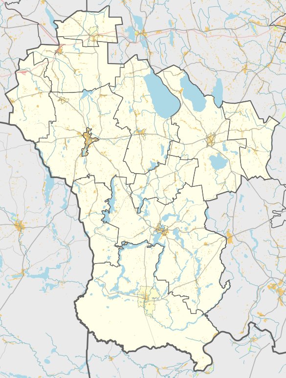
Buteliūnų piliakalnis is a hillfort located in the village of Buteliūnai, in the Šlavantų eldership of the Lazdijai district. It is situated on a separate hill on the southeastern shore of a lake. The site is accessible by turning into Buteliūnai from the road between Gudeliai and Seirijai, located on the right side to the east.
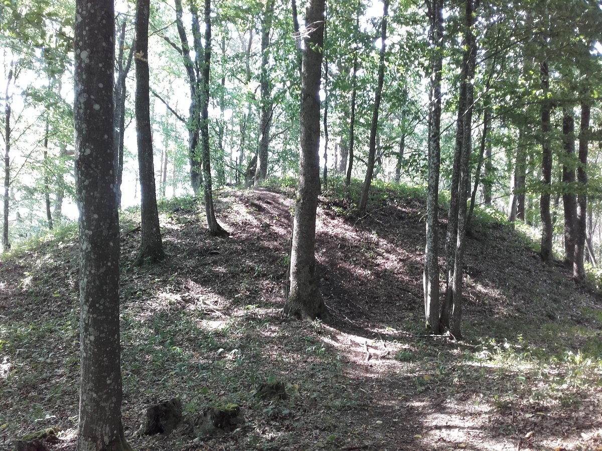
The hillfort features an oval, elongated shape stretching 17 by 12 metres from the southwest to the northeast. Its center rises up to 0.5 metres, and the slopes reach heights of 8 to 20 metres. The site is currently in a state of erosion, with the northwestern slope overgrown with thorny bushes.
In 1954, the Institute of History explored the hillfort but observed no cultural layers. In 2001, Eugenijus Ivanauskas examined a 16-square-metre area and again found no cultural layers. The hillfort is dated to the beginning of the first millennium.
Sources: Wikipedia, OpenStreetMap, Wikidata, Wikimedia Commons
Written by Nicolo Ciampini
Discuss this with the author and others
No comments yet. Be the first to start the conversation.