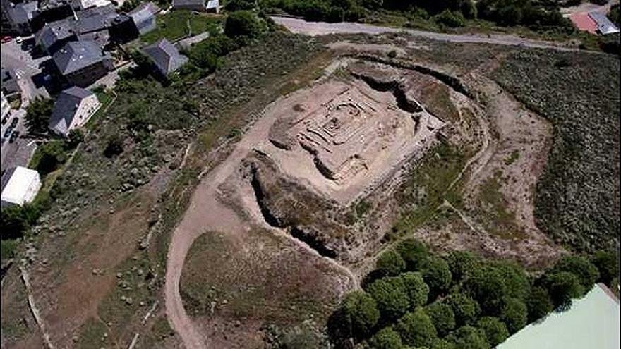

The Fuerte de San Carlos was established as a modern shield along the border with Portugal. Built in the late 17th century, it served as a critical component of a defensive network designed to protect the territory of Puebla de Sanabria during a period of intense conflict between the two Iberian countries.
This structure served as an early example of the Italian trace system. It featured a rectangular plan with corner bastions and a double zone of defense. Despite these features, contemporary observers noted that the fort was of small dimension and did not adequately discover the exterior terrain.
During a conflict, Anglo-Portuguese troops occupied the area. During their retreat, these troops blew up the Fuerte de San Carlos and other nearby fortifications to prevent the French from using them. They left the Portuguese structures intact as a deliberate act of strategic spite, ensuring that the Portuguese structures remained while the local defenses were destroyed.
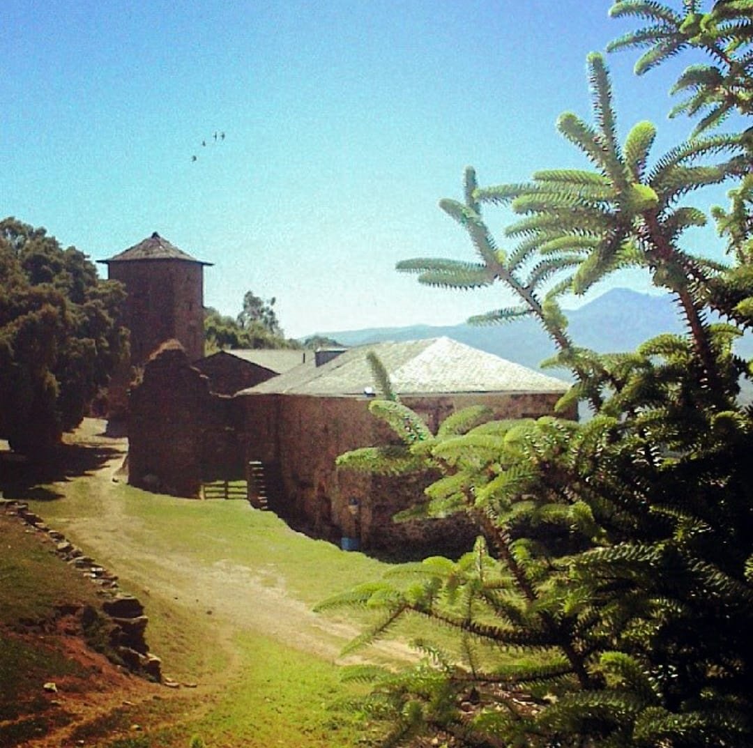
Since that explosion, the fort has remained a ruin. Today, the remains of its masonry sit on a rocky promontory overlooking the town. It stands as a silent witness to a structure that was once a key defensive point, inviting us to look closer at the complexities of its past.
Sources: Wikipedia, OpenStreetMap, Wikidata, Wikimedia Commons
Written by Nik Frost
Discuss this with the author and others
No comments yet. Be the first to start the conversation.