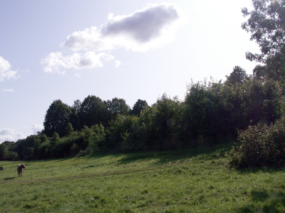

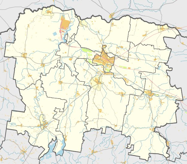
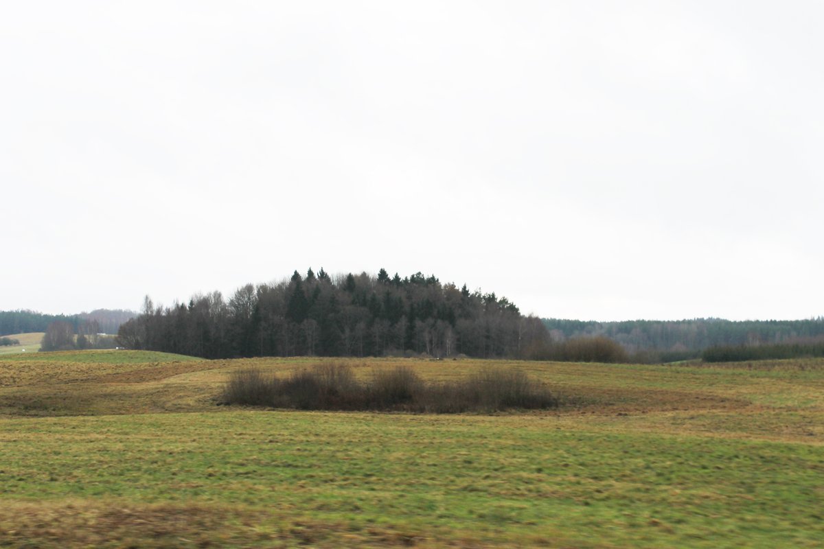
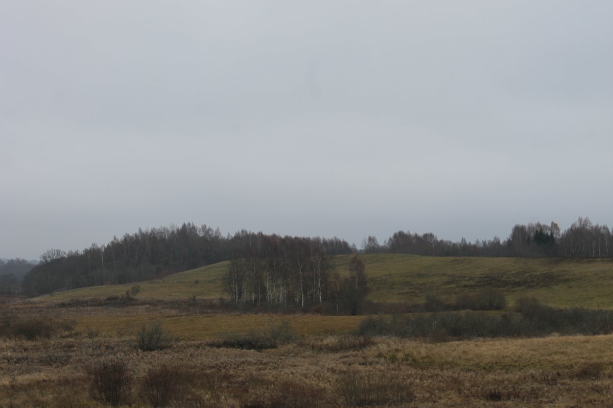
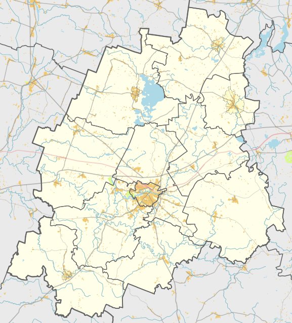
The Rimoliai hillfort, also known as Užpilis or Kulšėnai, is located in the Mažeikių rajono municipality near the village of Rimoliai. It is situated on the right bank of the Varduva river in a narrow bend. The site consists of an irregularly oval courtyard, 55 metres long and 65 metres wide, oriented in a north-south direction. The site includes a rampart, which remains in the southern part at a height of 2 metres and 16 metres wide, and a fragment 1 metre high and 11 metres wide on the northern edge.
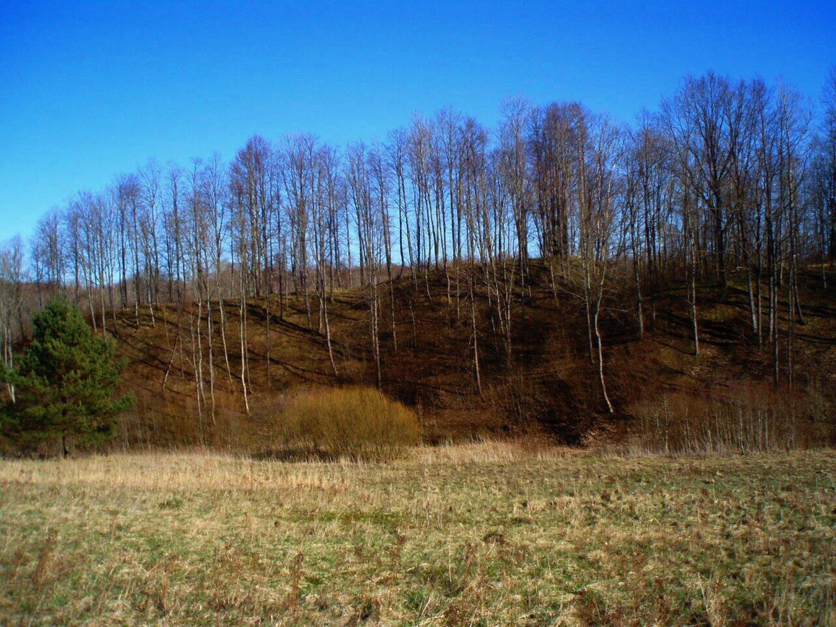
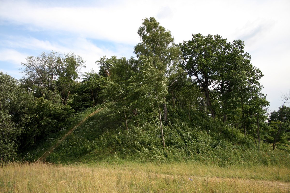
The hillfort features an outer slope that descends into a 5-metre wide, 0.5-metre deep ditch. Behind this ditch is a secondary rampart, 0.3 metres high and 7 metres wide. To the north of the southern rampart lies an outer bailey, which was once protected by a rampart that also had a fragment 1 metre high and 11 metres wide. The slopes of the hillfort are steep, reaching heights of 13-14 metres.
Historically, the site dates from the first millennium to the 13th century. The western slope was subject to erosion from paths leading to nearby farmsteads until it was stabilized in 1996. Archaeological research on the site was conducted by Liudvikas Kšivickis in 1903 and by the Institute of Lithuanian History in 1966.
Sources: Wikipedia, OpenStreetMap, Wikidata, Wikimedia Commons

Written by Nicolo Ciampini
Discuss this with the author and others
No comments yet. Be the first to start the conversation.