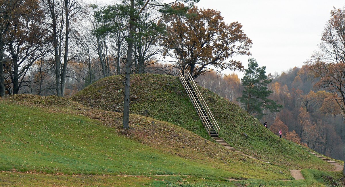

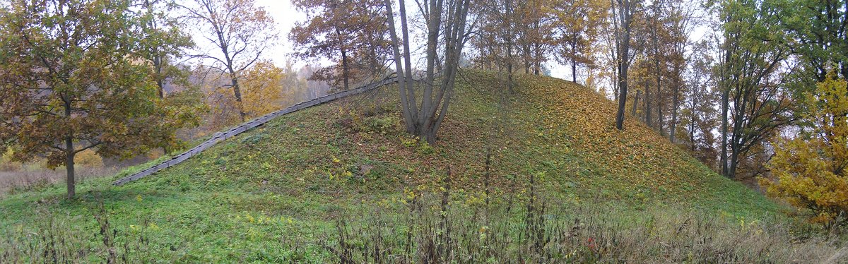
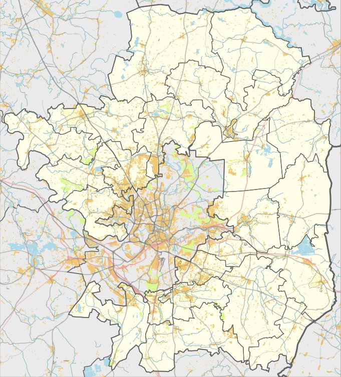
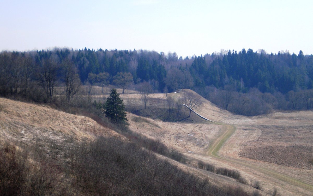
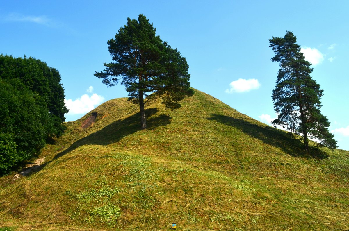
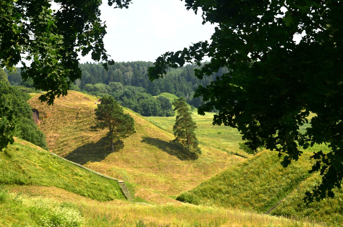
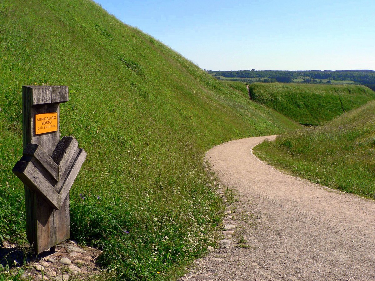
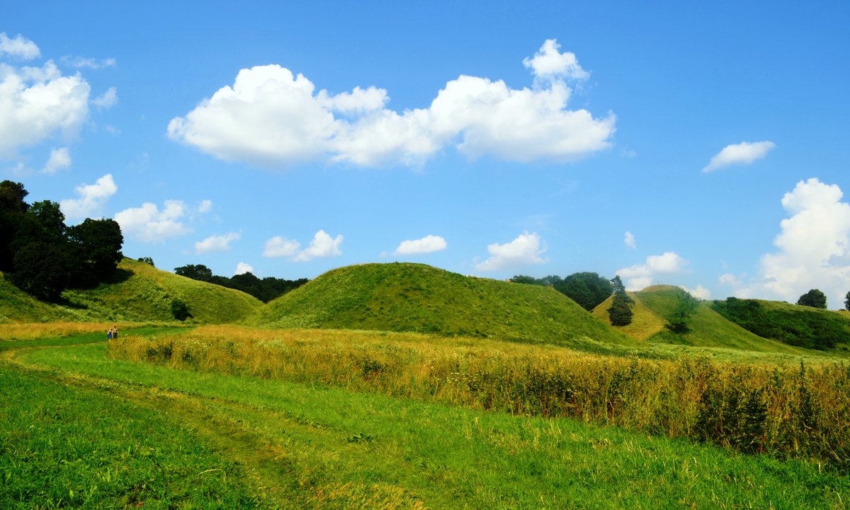
Buivydų piliakalnis is a hillfort and settlement located in the Vilniaus district, about 0.4 km south of Bradeliškės. It sits on the left bank of the Dūkštos river, where the slopes of the northern edge rise about 40 meters from the river valley. The site is surrounded by oaks on three sides - north and west - and is separated from neighboring heights by ditches and ramparts to the southeast.
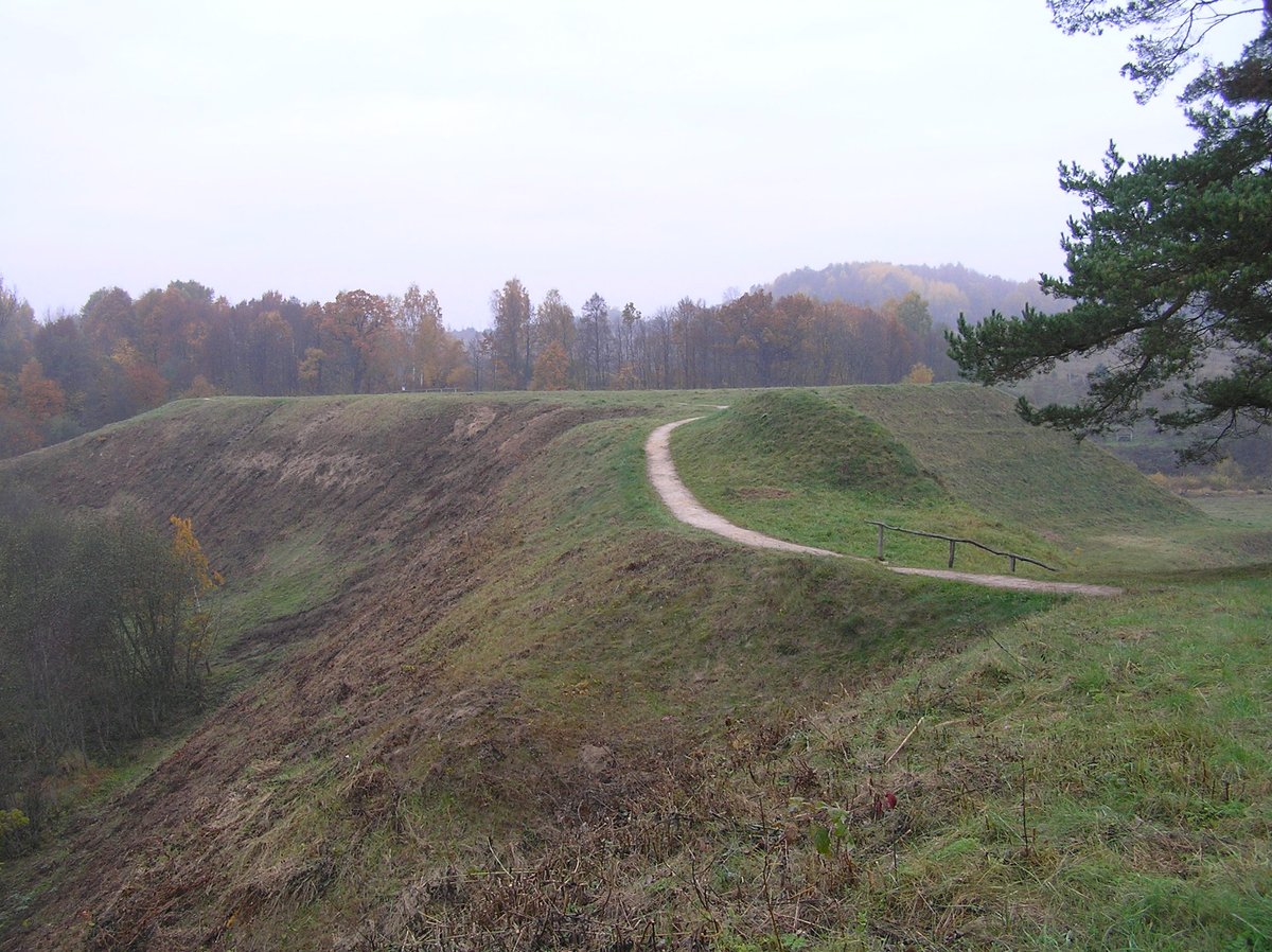
The hillfort features two terraces, with the northern terrace being slightly higher than the southern one. These areas are separated by a 10-meter-long rampart that stands 6.5 meters high from the southern terrace and 4.5 meters from the northern one. The southern terrace measures 11 by 25 meters, while the oval-shaped northern terrace measures 38 by 20 meters. On the southeastern side of the southern terrace, there is a 25-meter-long ditch, 0.6 meters deep, and a filled 10-meter-long rampart.
Remains of an ancient settlement are preserved to the south of the hillfort. Preliminary archaeological investigations were conducted in 1970 and 1979 by archaeologists from the Council for the Protection of Cultural Monuments. To date, the site and the adjacent settlement have not undergone any further serious archaeological research.
Sources: Wikipedia, OpenStreetMap, Wikidata, Wikimedia Commons
Written by Nicolo Ciampini
Discuss this with the author and others
No comments yet. Be the first to start the conversation.